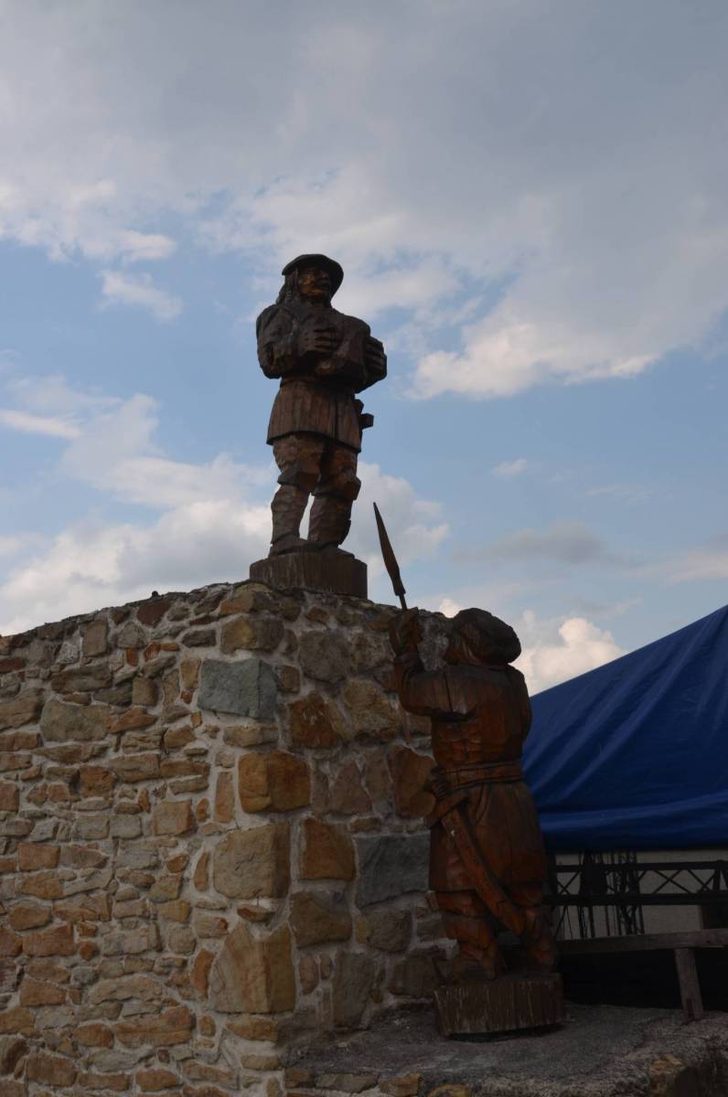
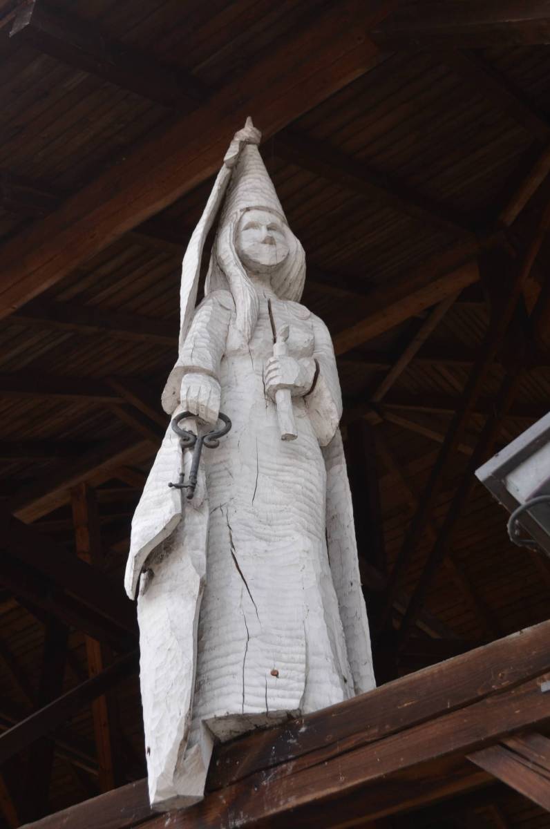
Przyszła pora na Zamek,tym razem u naszych sąsiadów w Czechach.
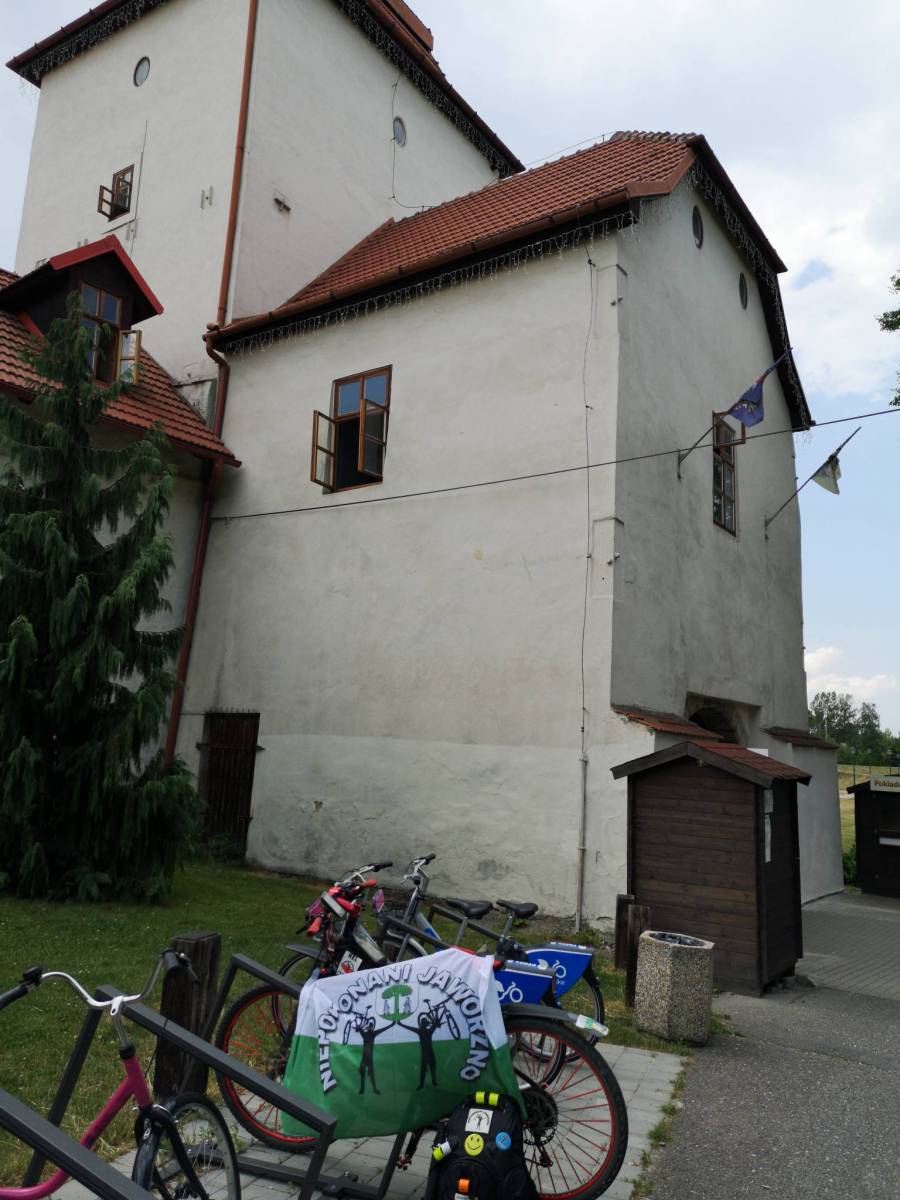
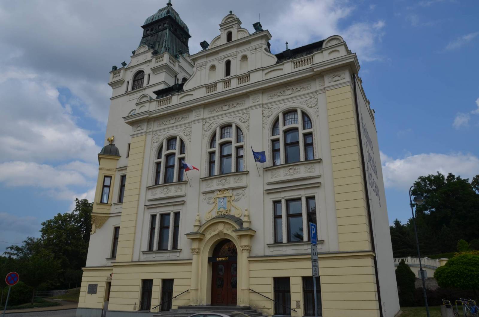
Zamek Śląski (również Śląskoostrawski, czes. Slezskoostravský hrad) położony jest w Śląskiej Ostrawie (dawnej Polskiej Ostrawie), dzielnicy miasta Ostrawa, w pobliżu miejsca gdzie do Ostrawicy wpada rzeka Łucyna (czes. Lučina).
Śląska Ostrawa (czes. Slezská Ostrava, dawniej Polska Ostrawa) – od 24 listopada 1990 roku jeden z 23 obwodów miejskich Ostrawy. Leży we wschodniej części miasta i składa się z ośmiu części, dawniej niezależnych miejscowości: Antoszowic (Antošovice), Herzmanic (Heřmanice), Hruszowa/Gruszowa (Hrušov), Kobłowa (Koblov), Kończyc Wielkich (Kunčice), Kończyc Małych (Kunčičky), Muglinowa (Muglinov) jak również samej Śląskiej Ostrawy (Slezská Ostrava), od Średniowiecza do 1919 znanej jako Polska Ostrawa (Polská Ostrava). Cała dzielnica w większości leży w historycznym regionie Śląska Cieszyńskiego poza Koblowem i Antoszowicami, które położone są na lewym brzegu Odry, czyli w kraiku hulczyńskim.
Komentarze
NA TYCH TRASACH PRZYDA CI
SIĘ MAPOPRZEWODNIK LUB MAPA Z NASZEJ APLIKACJI
MAPA TURYSTYCZNA W APLIKACJI TRASEO
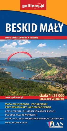
Beskid Mały
Szczegółowa mapa turystyczna z uwzględnieniem atrakcji, zabytków, ciekawych miejsc. Zawiera nazwy ulic w miejscowościach oraz kilometraż szlaków. Ciekawe miejsca wyróżniono żółtym kolorem.
MAPA TURYSTYCZNA W APLIKACJI TRASEO
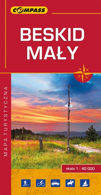
Beskid Mały
Mapa prezentuje obszar najmniejszego, ale jakże urokliwego polskiego Beskidu. Zasięg mapy obejmuje tereny pomiędzy Bielskiem-Białą na zachodzie i Suchą Beskidzką na wschodzie oraz Wadowicami od północy i Żywcem na południu. Obszar Beskidu Małego posiada charakter zwartej, rozległej wyspy górskiej, którego najwyższym szczytem jest Czupel (930 m n.p.m.). Dla turystów jest to łatwo dostępny obszar z gęstą siecią szlaków turystyki pieszej, rowerowej i narciarskiej. Jeziora Żywieckie i Międzybrodzkie stwarzają dobre warunki do uprawiania sportów wodnych. Obszar Beskidu Małego to również region bogaty kulturowo, gdzie spotkać można ślady wczesnośredniowiecznych grodzisk, ruiny rycerskich zamków, dawne rezydencje magnackie, staropolskie szlacheckie dworki, czy niespotykane gdzie indziej kamienne szałasy. W regionie tym urodził się i wychował Jan Paweł II, który często wędrował po szlakach tego Beskidu. Wydawnictwo Compass dokonało aktualizacji mapy na bazie własnych prac terenowych oraz w konsultacji ze znakarzami szlaków.
Wydanie 10, 2017 r.
MAPA TURYSTYCZNA W APLIKACJI TRASEO
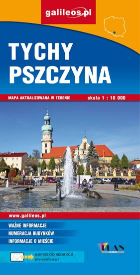
Tychy, Pszczyna i okolice
Mapa Pszczyny, Tych i okolic ograniczony jest przez Oświęcim na wschodzie i Żory na zachodzie, południowa część mapy to Jezioro Goczałkowickie. Na mapie zaznaczono informacje przydatne turyście i podano przebiegi szlaków pieszych i rowerowych. Wyróżniono miejscowości godne zwiedzania i miejsca szczególnie interesujące aktywnych.
MAPA TURYSTYCZNA W APLIKACJI TRASEO
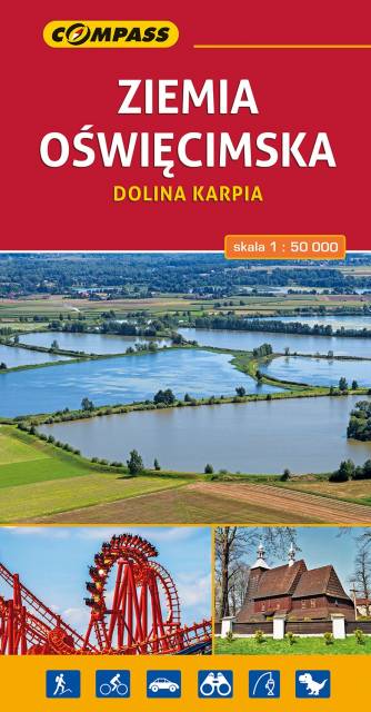
Ziemia Oświęcimska. Dolina Karpia
Mapa obejmuje tereny od Pszczyny na zachodzie po Alwernię i Wadowice na wschodzie oraz od Chrzanowa na północy po Andrychów i Bielsko-Białą na południu.
Wydanie 1, 2017
MAPA TURYSTYCZNA W APLIKACJI TRASEO
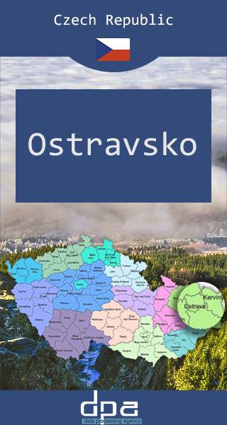
Ostrava i okolice
Mapa prezentuje fragment północno-wschodnich Czech, przy granicy z Polską, na pograniczu Śląska i Moraw. Stolica regionu - Ostrawa - to ważny ośrodek komunikacyjny i gospodarczy Czech.
Rok wydania: 2016/2017
MAPA TURYSTYCZNA W APLIKACJI TRASEO
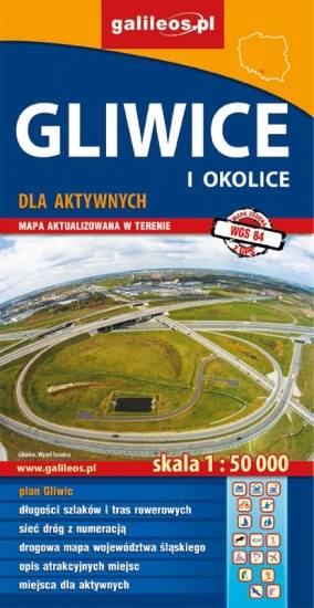
Gliwice i okolice
Mapa Gliwic i okolic, na której zaznaczono informacje przydatne turyście, jak zabytki, noclegi, granice obszarów chronionych. W miejscowościach opisano nazwy głównych ulic. Podano aktualne przebiegi szlaków pieszych i rowerowych. Wyróżniono miejscowości godne zwiedzania i miejsca szczególnie interesujące aktywnych.