

Charakterystyka trasy

Komentarze
NA TYCH TRASACH PRZYDA CI SIĘ MAPOPRZEWODNIK LUB MAPA Z NASZEJ APLIKACJI
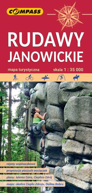
Bardzo dokładna, aktualizowana w terenie mapa turystyczna Rudaw Janowickich z zaznaczonymi szlakami pieszymi i rowerowymi z czasami przejść poszczególnych odcinków. Na mapie zaznaczono skały wspinaczkowe, z których słynie region i najważniejsze atrakcje turystyczne. Rok wydania: 2022
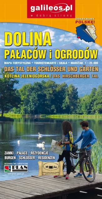
Dolina Pałaców i Ogrodów to bardzo dokładna mapa turystyczna obejmująca swym zasięgiem obszar Kotliny Jeleniogórskiej oraz część Rudaw Janowickich i Gór Kaczawskich. Na mapie oznaczono czasy przejścia na poszczególnych szlakach turystycznych. Rok wydania 2019
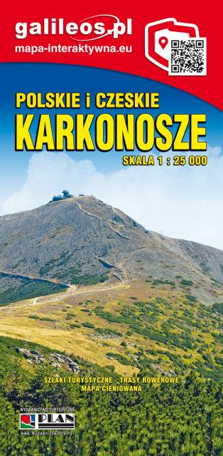
Mapa Karkonosze przedstawia najwyższe pasmo górskie Sudetów, znajdziemy na niej aktualny przebieg szlaków turystycznych wraz z orientaycjnym czasem przejścia, szczyty i atrakcje turystyczne. Mapę Karkonoszy zamykają czeskie Rokytnice nad Jizerou na zachodzie oraz Velka Upa na południu, Kowary na wschodzie i Jelenia Góra na północy. Ważniejsze atrakcje turystyczne zostały wyszczególnionea, a ukształtowanie terenu pokazano przy pomocy poziomic co 10 m. Rok wydania 2022
Karkonosze to najwyższe pasmo górskie Sudetów i zarazem Czech rozciągające się na przestrzeni ok. 40 km (od Przełęczy Szklarskiej na zachodzie do Przełęczy Lubawskiej na wschodzie). Karkonosze zajmują powierzchnię ok. 650 km², z czego do Polski należy 185 km² czyli 28,46%. Głównym grzbietem gór przebiega granica polsko-czeska. Najwyższym szczytem jest Śnieżka (1602 m n.p.m.) – najwyższy szczyt Czech, Sudetów i Śląska. Karkonosze należą do Światowej Sieci Rezerwatów Biosfery UNESCO.
Rok wydania: 2016/2017
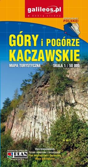
Mapa Gór i Pogórza Kaczawskiego zawiera aktualny przebieg szlaków rowerowych i pieszych z zaznaczonymi najważniejszymi atrakcjami turystycznymi. Swoim zasięgiem obejmuje obszar zamknięty przez Legnicę na północy i Jelenią Górę na południu. Przedstawia także teren Parku Krajobrazowego Doliny Boru oraz Parku Krajobrazowego Chełmy.