category-icon

Gorlice Radocyna Gorlice

70 km
619 m
613 m
Polska, małopolskie, Gorlice
no photo

Charakterystyka trasy

2012-08-31
Polska, małopolskie, Gorlice
category-icon
Długość trasy:
70 km
Suma przewyższeń:
619 m
Suma spadków:
613 m
Ocena trasy:
1.0/6

Komentarze

NA TYCH TRASACH PRZYDA CI SIĘ MAPOPRZEWODNIK LUB MAPA Z NASZEJ APLIKACJI

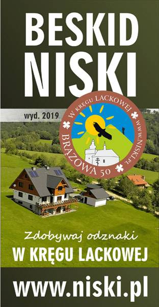
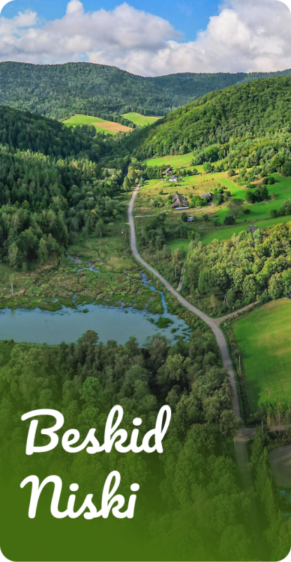
Beskid Niski – część zachodnia
Bezpłatna mapa tras rowerowych i wycieczek pieszych w Beskidzie Niskim. Atrakcje turystyczne.
Mapa to praktyczny przewodnik dla wszystkich, którzy przybywają w Beskid Niski, aby aktywnie spędzić czas, wędrować pieszo, jeździć na rowerze i zdobywać odznaki W KRĘGU LACKOWEJ. Znajdziesz na mapie największe atrakcje turystyczne i przyrodnicze regionu. Oznaczone są także cmentarze z okresu I wojny światowej oraz zabytkowe cerkwie. Opracowaliśmy trasy rowerowe i piesze prowadzące nieoczywistymi ścieżkami przez najciekawsze miejsca Beskidu Niskiego. Ciesz się chwilą, wypoczywaj aktywnie – nocleg możesz zarezerwować u autorów mapy na www.siwejka.pl.
Trasy pieszeTrasy rowerowe

20
130
Mapoprzewodnik
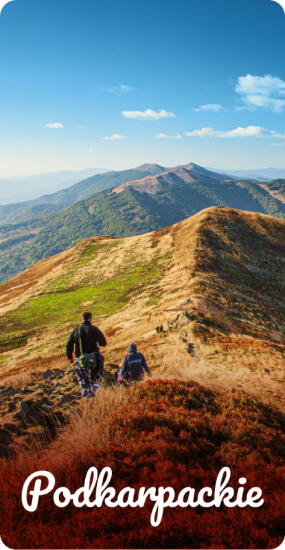
Podkarpackie
Podkarpackie
Bieszczady, Beskid Niski, Dolina Sanu i Wisły, Roztocze, Rzeszów i okolice
Podkarpacie to region pełen różnorodnych krajobrazów, atrakcji i możliwości aktywnego wypoczynku. W naszym mapoprzewodniku znajdziesz starannie wybrane propozycje wycieczek pieszych, rowerowych oraz krajoznawczych prowadzących przez najciekawsze zakątki południowo-wschodniej Polski. Trasy obejmują malownicze tereny Beskidu Niskiego i Bieszczadów, urokliwe doliny Sanu i Wisły, wyjątkowe przyrodniczo obszary Roztocza oraz okolice Rzeszowa i innych podkarpackich miejscowości.
Trasy samochodoweTrasy pieszeTrasy rowerowe

40
500
Mapoprzewodnik
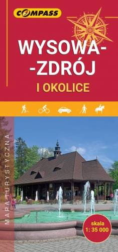
Wysowa-Zdrój and surroundings
MAPA TURYSTYCZNA W APLIKACJI TRASEO
Wysowa-Zdrój and surroundings

The map presents the nearest surroundings of Wysowa-Zdrój and a plan of the centre in the scale 1:7'500. Wysowa-Zdrój is a small spa town situated in the south-eastern part of Lesser Poland Voivodeship (Małopolska Voivodeship), in Gorlice County, on the border with Slovakia. It is surrounded on all sides by the mountains of the Beskid Niski, the so-called Hańczowskie Mountains. The map additionally contains a tourist guide, including: general information about Wysowa-Zdrój, places and objects worth visiting, suggestions of walks, attractions for children, useful addresses and telephone numbers. The offline map can be purchased from the Traseo app for mobile devices.  Year of publication 2019

Low Beskids
MAPA TURYSTYCZNA W APLIKACJI TRASEO
Low Beskids

The map of the Low Beskids is intended for all those who come to the mountains to spend their time actively, ride a bike, and earn hiking badges “W KRĘGU LACKOWEJ”, about which you can learn more at www.niski.pl. On the map you will find the biggest tourist and natural attractions of the region. Not only that, but also World War I cemeteries and historic Orthodox churches are marked. Cycling routes are marked out, and hiking routes can be found in Traseo after entering the keyword SIWEJKA and importing the information to the application. Enjoy the moment, rest actively - you can book accommodation at the Siwejka farmhouse. www.siwejka.pl

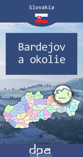
Bardejov Region
MAPA TURYSTYCZNA W APLIKACJI TRASEO
Bardejov Region

The map presents slovak part of Lower Beskids and Čergov Mountains (Šariš region). The town of Bardejov, situated in the center of the region, is is one of UNESCO's World Heritage Sites.


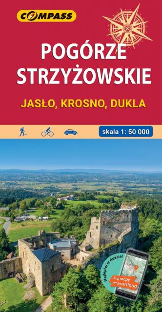
Strzyżów Piedmont. The area of Jasło and Krosno
MAPA TURYSTYCZNA W APLIKACJI TRASEO
Strzyżów Piedmont. The area of Jasło and Krosno

Pogórze Strzyżowskie (The Strzyżów Piedmont) is part of the Central Beskidian Piedmont, a set of mountain ranges of the Outer Eastern Carpathians, in far southeastern Poland. The map range: Pilzno and Skołyszyn to the west, Dębica and Sędziszów Małopolski to the north, Czudec and Besko to the east, Dukla and Rymanów to the south.

Miejscowości na trasie