

Charakterystyka trasy

Komentarze
NA TYCH TRASACH PRZYDA CI SIĘ MAPOPRZEWODNIK LUB MAPA Z NASZEJ APLIKACJI
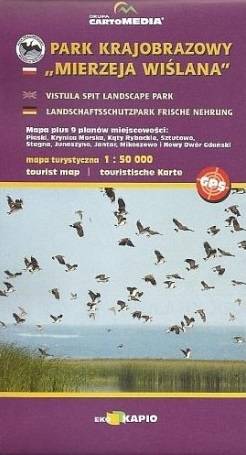
Vistula Spit Landscape Park is a protected area on the Vistula Spit in northern Poland. The Park covers an area of 44.10 square kilometres. It lies within Pomeranian Voivodeship, in Nowy Dwór Gdański County (Krynica Morska, Gmina Sztutowo). Within the Landscape Park are two nature reserves.
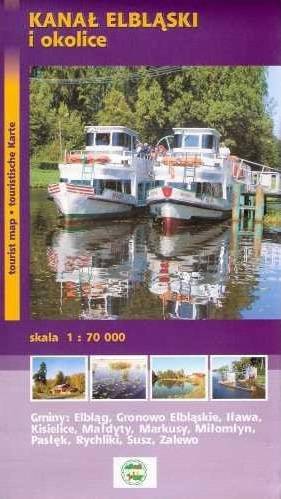
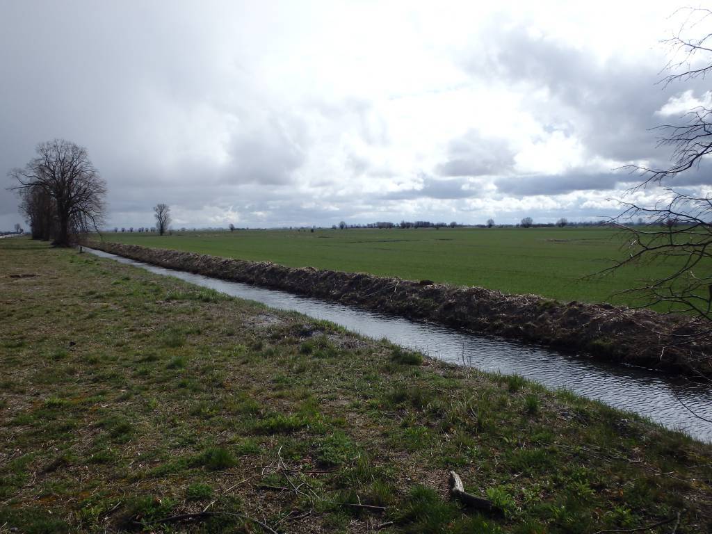
Elbląg Canal is a canal in Poland, in Warmian-Masurian Voivodeship, 80.5 km in length, which runs southward from Lake Drużno (connected by the river Elbląg to the Vistula Lagoon), to the river Drwęca and lake Jeziorak. Today it is used mainly for recreational purposes. It is considered one of the most significant monuments related to the history of technology and was listed by Unesco as a world heritage site. In Poland it has recently been named one of the Seven Wonders of Poland. The canal was also named one of Poland's official national Historic Monuments (Pomnik historii), as designated January 28, 2011. Its listing is maintained by the National Heritage Board of Poland.
Update: 2012
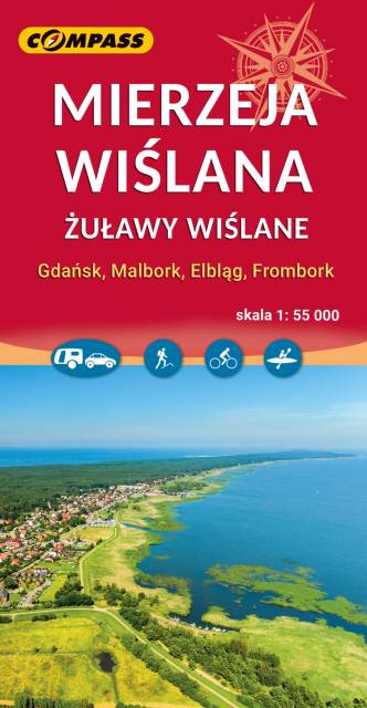
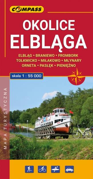
Mapa turystyczna "Elbląg i okolice" w skali 1:55 000, opracowana w ramach bliskiej współpracy z Oddziałem PTTK w Elblągu. Tytuł "Okolice Elbląga" to tylko hasło, bo mapa obejmuje obszar szeroko pojętych okolic Elbląga. Sięga oczywiście po Frombork, Krynicę Morską, Pasłęk, Braniewo, a na wschodzie aż po Pieniężno, Ornetę, Miłakowo. Zatem niezwykle atrakcyjne, ale może niezbyt popularne turystycznie tereny Wysoczyzny Elbląskiej i północnej Warmii.