On this part of the EuroVelo 6 Atlantic – Black Sea route you have a unique opportunity to cycle all along the Danube River, through three European countries and their capitals: Austria - Vienna, Slovakia - Bratislava and Hungary - Budapest. On the route you can pass villages and beautiful towns, among rural landscapes, fields and forests. Along the way, you can visit places such as Mosonmagyaróvár with its old town and castle, Győr with its beautifully restored historic centre or the charming town of Komárom.
What is the EuroVelo 6 Cycle route?
EuroVelo 6 the Atlantic – Black Sea route is a long-distance cycling route, divided into nine smaller sections. It covers approximately 4,700 kilometers, and connects the Atlantic coast of France to the Black Sea in Romania, crossing ten countries and six major European rivers. The route offers cyclists a diverse experience, passing through UNESCO World Heritage sites, picturesque towns, and vibrant cities. Providing well-maintained and appropriately marked segregated cycle paths, mostly away from road traffic.
How long is this section of the route?
This part of the EuroVelo 6 Atlantic – Black Sea route from Vienna to Budapest spans approximately 306 kilometers. Following the Danube, passing through Austria, Slovakia, and Hungary. The route is mostly paved and signposted, with some sections still under development. Often running right next to the Danube or winding through the countryside and beautiful hills.
How long does it take to complete the trail?
Cycling the EuroVelo 6 route from Vienna to Budapest typically takes between 4 to 6 days (usually 6–7 hours per day), depending on your cycling pace, daily distances, and the number of breaks you take. The route plan allows for flexibility in rest and exploration, making it easy to adapt your trip to changing conditions. You can split the route into shorter stages (25-35 km/day), allowing for plenty of stops and time to explore towns along the way. This is ideal for families travelling with children or amateur cyclists. Or longer stages (60-70 km/day) are suitable for more experienced cyclists who want to complete the route in 4 days, which requires around 8-9 hours of riding per day.
What countries does the route go through?
The EuroVelo 6 Atlantic – Black Sea route from Vienna to Budapest passes through three countries: Austria, Slovakia and Hungary. The route starts in Vienna, runs along the Danube, passes through the prairies and forests of eastern Austria, through Slovakia to the capital, Bratislava. The route continues along the Danube to the Hungarian border, then through picturesque farming villages and remarkable landscape of the Danube Bend. The route ends in Budapest – the capital of Hungary. Providing journey through diverse landscapes and cultures.
Is this bike route accessible to families with children?
Yes, the EuroVelo 6 Atlantic – Black Sea route from Vienna to Budapest is well-suited for families with children. This part of the route consists of flat terrain, picturesque landscapes and well-maintained infrastructure, making it accessible and enjoyable for cyclists of all ages. The route also passes through picturesque small towns and national capitals, offering opportunities for cultural exploration, relaxation and family activities. Families can opt for shorter daily distances, depending on the children's stamina and interests.
Attractions along the route EuroVelo 6 from Vienna to Budapest
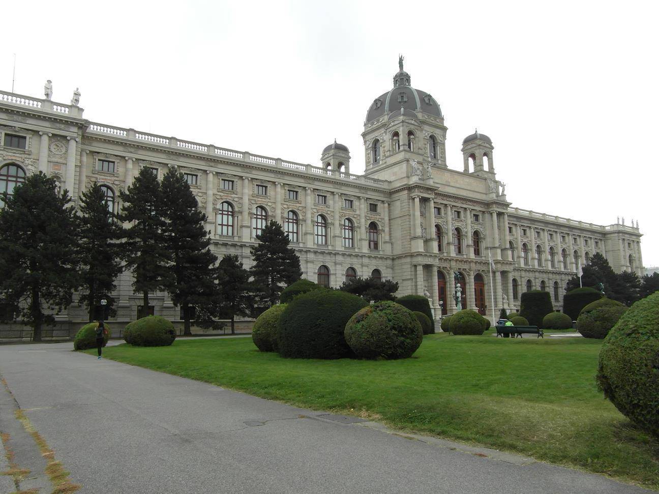
Vienna
The capital of Austria, city of imperial palaces, world-class museums and famous coffee houses. The main attractions worth seeing in Vienna are:
Schönbrunn Palace The former imperial summer residence with stunning gardens, greenhouses with around 4,500 plant species and the world's oldest zoo.
St. Stephen's CathedralOne of the most important historical buildings in Vienna, built in Romanesque and Gothic style, located in the heart of the city.
The BelvedereHistoric complex of buildings, now a museum known as the Belvedere Museum and Austrian Gallery, home to an impressive collection of Austrian art, including works by Gustav Klimt.
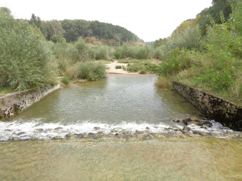
Donau-Auen National ParkLocated between Vienna and Bratislava, Donau-Auen National Park is a is one of the largest remaining floodplains of the Danube and a natural reserve. Where you can discover diverse ecosystems and spot different species of birds, such as the Eurasian kingfisher.
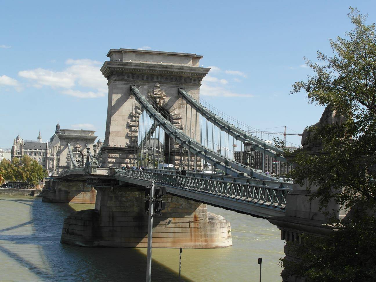
Bratislava
The capital of Slovakia, offers a mix of medieval and modern attractions such as:
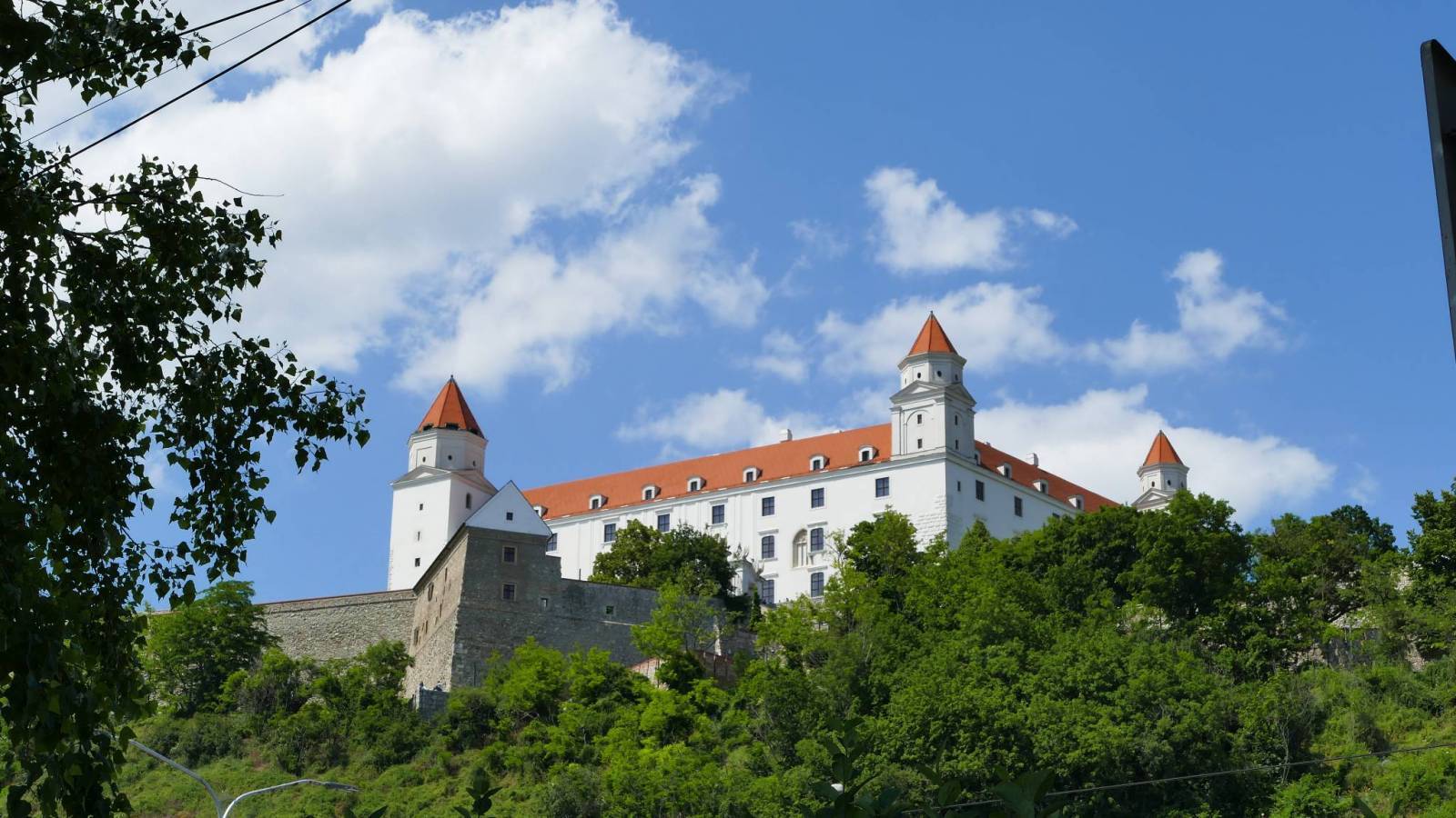
Bratislava CastleSituated on a hill above the Danube, currently serving as the historical museum of the Slovak National Museum and offering panoramic views of the city and the Danube River.
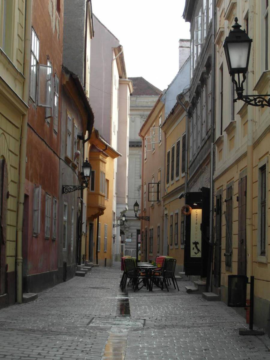
Old Town With an amazing and well-preserved medieval city center full of colorful buildings, cafes and shops.
UFO Bridge Bridge of the Slovak National Uprising with the famous UFO Tower with an observation deck and a restaurant.
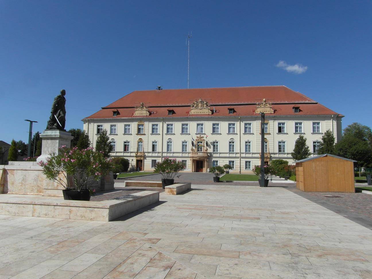
Mosonmagyaróvár
Town located in the northwest of Hungary, near the border with Austrian, known for its historical architecture, such as Mosonmagyaróvár Castle - a castle located in the town center and thermal baths offering relaxation and wellness services.
Győr
City located in northwest Hungary, halfway between Vienna and Budapest. With a large and beautifully restored historic center, the castle, and the Lutheran Evangelic church and plenty of restaurants.
Komárom
A city in Hungary, located on the southern bank of the Danube, known for its extensive fortification system. Particularly worth seeing is Fort Monostor - the largest fort in Central Europe from modern times, built as part of the Komárom fortification system, currently serving as a museum.
Esztergom
One of the oldest cities in Hungary, once the capital, now rich in history and architecture. Worth visiting is the Esztergom Basilica, the largest church in Hungary and one of the highest domes in the world, also offering a panoramic view of the city.
Vác
Charming town known for its baroque architecture and riverside location. Its beauty encourages you to take a coffee break in one of the many cafes while admiring the picturesque views.
Szentendre
A riverside town in Hungary, located close to the capital city Budapest. It is a town with a Mediterranean feel that has been home to generations of Hungarian artists and is threhefore it is rich in numerous museum and galleries displaying art.
Budapest
The capital of Hungary, a combination of historical majesty, extravagant architecture and vibrant culture. The main attractions worth seeing while in Budapest are:
Buda Castle Formerly known as the Royal Palace or Royal Castle. A well-preserved and restored historical castle and palace complex of the Hungarian kings, in the medieval, baroque, neo-baroque and Art Nouveau styles. It currently houses the Budapest History Museum, the Hungarian National Gallery and the Hungarian National Library.
Hungarian Parliament BuildingAlso known as the Parliament of Budapest, an architectural masterpiece built in the Gothic Revival style, located along the Danube River. Definitely worth a visit, as it is one of the most momentous parliamentary buildings in the world and an important symbol of Hungary's history and culture.
Fisherman's BastionAlso known as The Halászbástya, located near the Buda Castle. With a neo-romanesque style terrace, offering panoramic views of the city and the Danube.
Andrássy AvenueIs a neo-renaissance styled boulevard lined with historic buildings, shops, restaurants and excellent cafes, listed on the UNESCO World Heritage site.