category-icon

Eurovelo 13 Slovakia - Iron Curtain Trail - official route

107 km
136 m
196 m
Oficjalny przebieg
Polecamy

Charakterystyka trasy

2025-05-23
category-icon
107 km
136 m
196 m
6/6
The EuroVelo 13 cycle route (also known as the Iron Curtain Trail) in Slovakia is a living monument to the continent’s divided past, once a heavily guarded border between East and West during the Cold War. Slovakia’s western border was once the edge of the Eastern Bloc, situated between Austria and the Czech Republic. Today, this section of EuroVelo 13 offers a peaceful and family-friendly ride through meadows, riverbanks, forested paths and vibrant culture. Beginning near the confluence of the Morava and Danube rivers and passing through charming villages and Bratislava, the capital of Slovakia, the route captures the tensions and transformations that have shaped modern Europe. Whether you’re a long-distance adventurer or a weekend explorer, cycling the Iron Curtain Trail in Slovakia invites you to slow down and reflect - not only on how far Europe has come, but also on how landscapes, borders and people continue to evolve together.


What is the EuroVelo 13 Cycle route?

EuroVelo 13, also known as the Iron Curtain Trail, is a long-distance cycling route that runs along the former Iron Curtain, the political and physical boundary that divided Eastern and Western Europe during the Cold War. It stretches for approximately 10,550 km and is one of the longest routes in the EuroVelo network, passing through 20 countries - from Norway all the way to Bulgaria. The route itself offers cyclists a unique opportunity to explore a diverse range of landscapes, including coastal areas, forests and mountainous regions, as well as a living history lesson, connecting numerous historical sites, museums and monuments commemorating the division of Europe and its subsequent reunification.


How long is this section of the route?

This section of the EuroVelo 13 cycle route is approximately 100 kilometers long and runs across Slovakia. It runs along the border with Austria and follows the courses of the Morava and Danube rivers. This section of EuroVelo 13 cycle route offers cyclists with an unique opportunity to experience Slovakia's natural beauty and rich history along the former Iron Curtain, the border between the Eastern Bloc and Western Europe during the Cold War.


How long does it take to complete this section of the route?

This section of the EuroVelo 13 cycle route usually takes between 5 to 6 hours at a standard cycle pace. Experienced cyclists can complete the route faster, while beginners may need more time. However, a slower pace would allow for more frequent breaks for sightseeing, meals, or rest along the way, but will also extend the overall travel time. This section is easy to plan and devide into smaller sections, making it perfect for cyclists interested in both physical challenge and peaceful cultural exploration.


Is this route difficult or accessible to families with children?

This section of the EuroVelo 13 cycle route is mostly flat, with minimal elevation changes, making it suitable for cyclists of all ages and abilities. The trail is mostly paved, providing a smooth ride for standard bicycles. It crosses diverse landscapes, including agricultural areas, meadows, and floodplain forests, offering a picturesque and pleasant experience. The route is generally accessible and suitable for families with children, although there are some considerations to be aware of, such as few busy roads shared with motor vehicles or more crowded segments. However, the trail offers numerous family-friendly rest areas and attractions along the way, making the overall cycling experience easy and enjoyable.


Attractions along the route

The Slovak section of EuroVelo 13 cycle route offers cyclists many attractions along the route, such as:


Habánsky Dvor (Great Leváre)

This open-air museum includes 22 preserved buildings and showcases the traditional dwellings of the Habán community, a group of skilled craftsman from the 17th to 19th centuries.


Freedom Cycling Bridge

This modern bridge connects Slovakia and Austria, giving cyclists the oportunity to go off the route and visit the Schlosshof Castle in Austria, while enjoying picturesque views of the Morava River.


Schlosshof Castle

Located just across the border in Austria, a baroque palace with extensive gardens. It was once a hunting lodge for Prince Eugene of Savoy, and later belonged to Empress Maria Theresa. Here visitors can explore the palace, gardens, and farm complex.


Sandberg Paleontological Site

Located near Devínska Nová Ves, Sandberg is a significant paleontological site with over 300 fossil species. The site is easily accessible by bicycle and offers an insight into the region's ancient past.


Devín Castle

Situated at the confluence of the Morava and Danube rivers, this is a significant historical site. Dating back to Roman times, it offers panoramic views of the surrounding area.


Bratislava Castle

Situated on a hill overlooking the Danube River, one of the city's most iconic landmarks. Its white facade and red roof make it instantly recognizable. Originally a fortified settlement, the castle has been rebuilt multiple times and now houses part of the Slovak National Museum, including exhibits on Slovak history, archaeology and furniture.


Bratislava Old Town (Staré Mesto)

The historic center, a pedestrian-friendly area full of narrow alleys, colorful Baroque buildings, lively squares and charming cafés. With must-see sites such as Michael’s Gate – the only preserved medieval gate, dating back to the 14th century and the Primatial Palace – known for its pink elevation and rare collection of English tapestries.


Bunkers and Fortifications

Located all along the Slovak-Austrian border, Several World War II-era bunkers and fortifications have been preserved. These structures offer insights into the region's military history and the impact of the Iron Curtain.

Komentarze

NA TEJ TRASIE PRZYDA CI SIĘ MAPA Z NASZEJ APLIKACJI

Nizina Zahorska
MAPA TURYSTYCZNA W APLIKACJI TRASEO
Nizina Zahorska

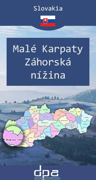
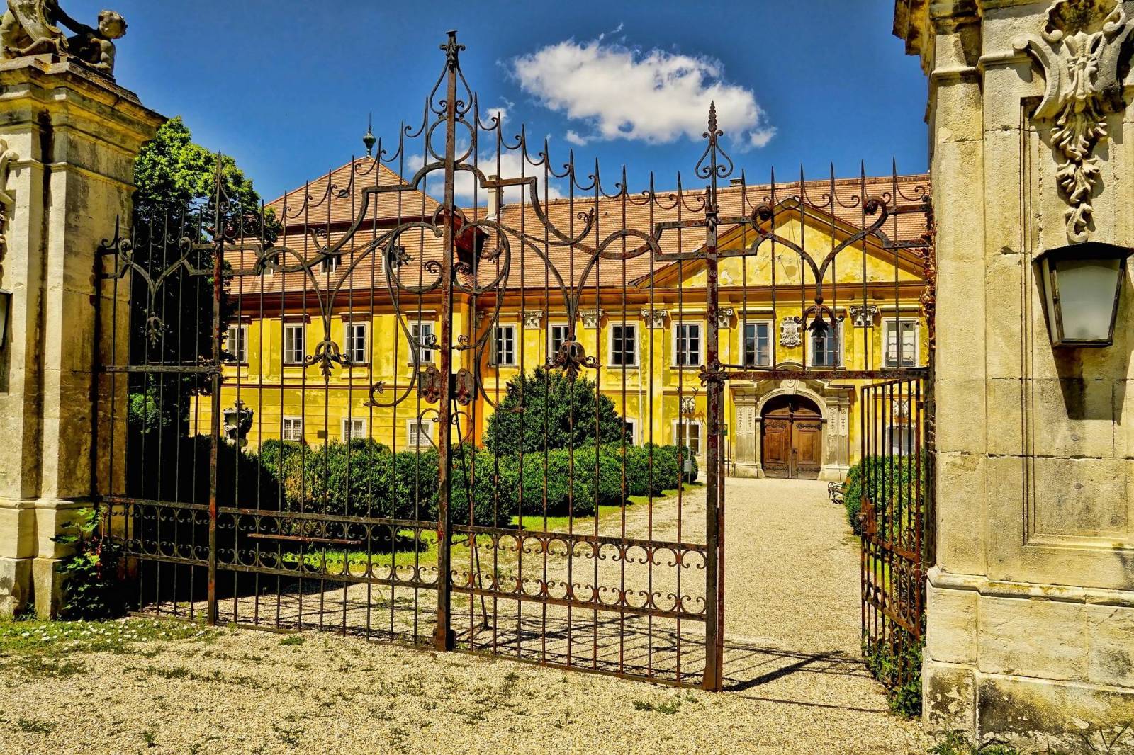
Mapa obejmuje obszar Niziny Zahorskiej w zachodniej Słowacji oraz pójnocne stoki Małych Karpat. Stanowiąca przedłużenie Kotliny Wiedeńskiej jest najdawniej zamieszkanym regionem Słowacji. W miejscowościach regionu znajdują się zabytki z czasów Wielkich Moraw. Obecnie Zahorie zamieszkuje specyficzna grupa etnograficzna zwana Zahorakami, posługująca się własnym dialektem języka słowackiego. Wśród ich przodków znajdują się hutteryci, zwani tu Habanami, którzy osiedlili się na tych terenach w XVI-XVII wieku, przynosząc ze sobą oryginalną kulturę. Największymi miastami regionu są Senica, Malacky, Skalica, Holíč i Stupava.

Rok aktualizacji: 2016/2017

Małe Karpaty, Czerwony Kamień
MAPA TURYSTYCZNA W APLIKACJI TRASEO
Małe Karpaty, Czerwony Kamień

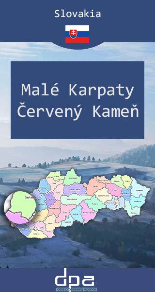
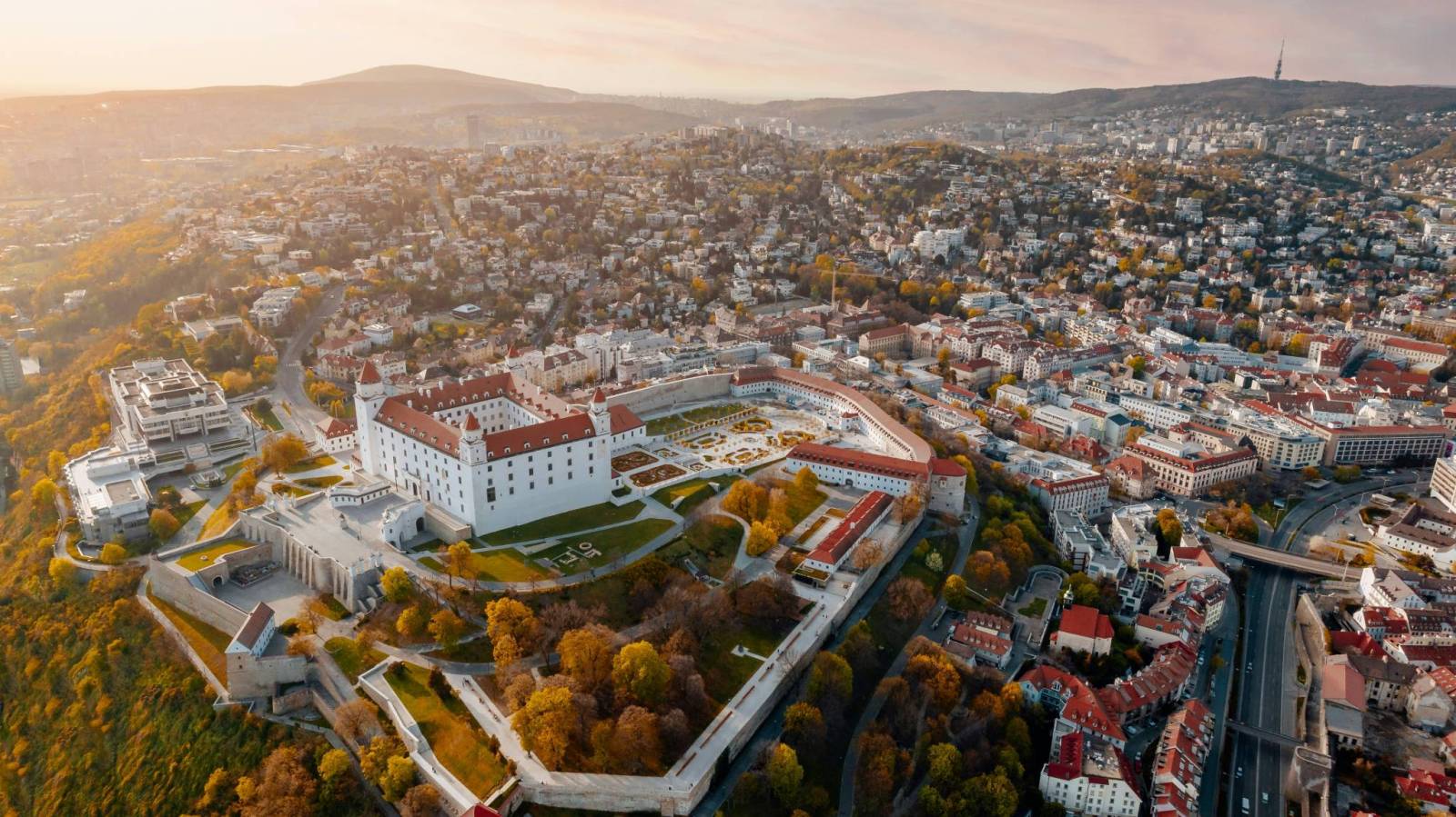
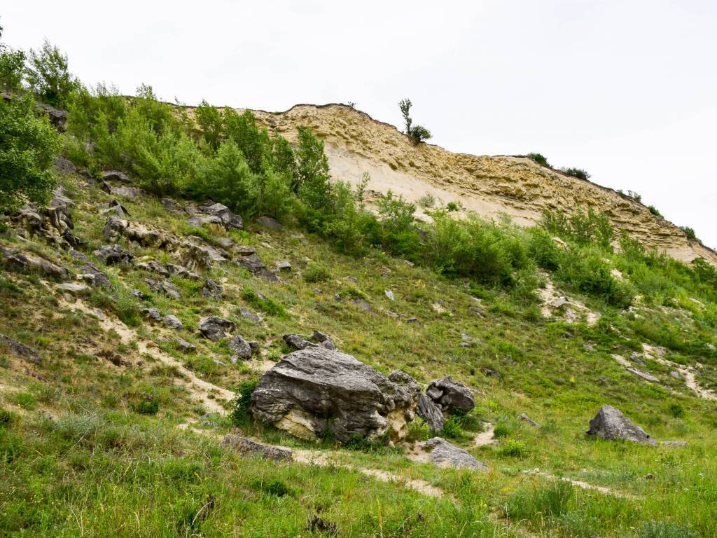
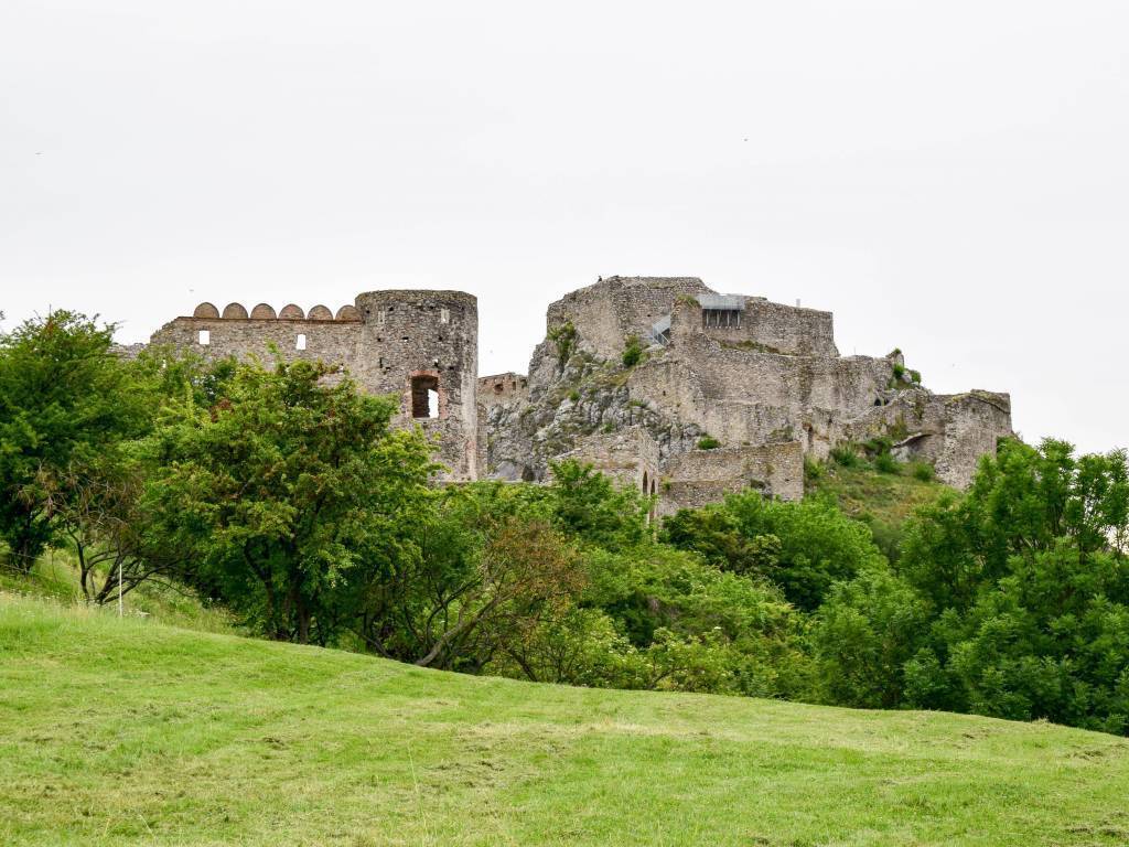
Mapa obejmuje część Małych Karpat - pasma rozciągającego się na północ od Bratysławy, do okolic Nowego Miasta nad Wagiem, z najpiękniekszym w tej części Słowacji zamkiem Czerwony Kamień. Małe Karpaty są regionem wypoczynkowym, turystycznym i sportowym, głównie dla mieszkańców Bratysławy i przedmieść. Uprawia się tu narciarstwo (ośrodki Piesok, Pezinská Baba, Brezová pod Bradlom). Szlaki turystyczne są liczne i malownicze. Najdłuższy z nich, czerwony, o długości 80 km, jest zwany Štefánikovą magistralą. Zaczyna się w Bratysławie na wzgórzu Kamzík, ze znaną wieżą telewizyjną, po czym biegnie na północ głównym grzbietem pasma przez całą jego długość. Kończy się na górze Bradlo, na której stoi monumentalny grobowiec gen. Štefánika projektu Dušana Jurkoviča, zbudowany w latach 1927-1928. Północne stoki obfitują w średniowieczne zamki i ich ruiny. Małe Karpaty leżą ponadto na granicy regionu etnograficznego Záhorie, charakteryzującego się rozwiniętą kulturą i sztuką ludową.

Rok aktualizacji: 2016/2017

Między Bratysławą a miastami Senec i Dunajska Streda
MAPA TURYSTYCZNA W APLIKACJI TRASEO
Między Bratysławą a miastami Senec i Dunajska Streda

Mapa prezentuje część południowo-zachodniej Słowacji, przy granicy z Austrią. Obejmuje okolice słowackiej stolicy oraz miast Senec i Dunajska Streda.

Okolice Brzecławia i Park Krajobrazowy Pálava
MAPA TURYSTYCZNA W APLIKACJI TRASEO
Okolice Brzecławia i Park Krajobrazowy Pálava

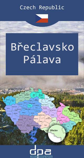
Mapa przedstawia fragment południowych Czech, na pograniczu z Austrią i ze Słowacją, na południe od Brna. Obejmuje m.in. posiadające bogatą historię miasto Brzecław, w którym można oglądać ruiny XVI-wiecznego zamku, Obszar Chronionego Krajobrazu Pálava, stanowiący rezerwat biosfery na mokradłach dolnej Dyi, oraz wpisany na listę światowego dziedzictwa UNESCO krajobraz kulturowy Lednice-Valtice.  

Rok wydania: 2016 / 2017.

Szigetköz - Waasen - Seewinkel
MAPA TURYSTYCZNA W APLIKACJI TRASEO
Szigetköz - Waasen - Seewinkel

Mapa przedstawia pogranicze węgiersko-austriacko-słowackie, od Bratysławy na północy do miasta Győr na południu. Zawiera treść przydatną rowerzystom, piechurom i amatorom sportów wodnych,

Czechy i Słowacja – mapa samochodowa
MAPA TURYSTYCZNA W APLIKACJI TRASEO
Czechy i Słowacja – mapa samochodowa

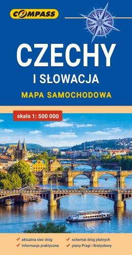
Mapa samochodowa Słowacji i Czech zawiera: aktualną sieć autostrad, dróg ekspresowych i głównych, z podziałem na dwupasmowe i jednopasmowe; drogi w budowie, numerację dróg oraz kilometraż. Na mapie zaznaczono: przejścia graniczne, Autostradowe Miejsca Obsługi Podróżnych, wybrane stacje benzynowe, parkingi i promy wodne, porty lotnicze, obszary leśne, parki narodowe, uzdrowiska, większe ośrodki narciarskie, obiekty na Liście UNESCO. Legenda w językach: polskim, angielskim, czeskim i słowackim.
Mapa dodatkowo zawiera:
- schemat dróg płatnych na Słowacji i w Czechach;
- wykaz węzłów na autostradach i drogach ekspresowych na Słowacji;
- plany Pragi i Bratysławy;
- schemat metra w Pradze;
- informacje praktyczne dla podróżujących samochodem po Słowacji i Czechach (m.in.: wybrane przepisy drogowe, wymagane dokumenty, obowiązkowe wyposażenie samochodu, rodzaje winiet).
Mapę offline można zakupić w aplikacji Traseo na urządzenia mobilne. Rok wydania 2020