Borderlands of rivers and history shapes the Hungary and Croatia segment of EuroVelo 13, where tranquil landscapes whisper tales of the past. Cycling close to the meandering Drava River, you will move through lush wetlands and forested border strips, observing riverbanks unchanged by time. Tiny villages punctuate the route, each offering rustic charm, local folk architecture and the warmth of rural communities. Along the route stretch the wine regions, with vineyards clinging to sunny slopes and cellars waiting to share their character. Along with natural beauty, visible remnants of Cold War fortifications, bunkers and border monuments remind you that this is no ordinary scenic ride, but a journey through memory and landscape.
What is the EuroVelo 13 Cycle route?
EuroVelo 13, also known as the Iron Curtain Trail, is a long‑distance cycling route that largely traces the former Iron Curtain which divided Europe during the Cold War. It is approximately 10,550 km long and runs through 20 European countries, from the Barents Sea in the north to the Black Sea in the south. It’s not just a scenic route but also a way to experience modern European history. The EuroVelo 13 cycle route is both a physical and reflective journey. You will see places of natural beauty and places of historical significance: old checkpoints, border installations, memorial sites and museums about the Cold War.
How long is this section of the route?
This section of the EuroVelo 13 cycle route is approximately 330 km long. It begins at the Hungarian-Croatian border near Letenye and ends in Csátalja, still within Hungary, after weaving along or near the Croatian border. The route is a mix of surfaces, mainly paved roads and cycle paths in or near towns, mostly rural roads with low-traffic, but also some gravel or dirt tracks, especially through agricultural areas, forest sections or paths along rivers. Most of this segment is signposted, especially near towns and tourist areas. Signage includes EuroVelo 13 route markers, often co-signed with local or regional routes.
How long does it take to complete this section of the route?
This section of the EuroVelo 13 cycle route takes the average cyclist between 4 to 5 days, at more relaxed pace. With frequent stops for sightseeing, it can take from 6 to 8 days to complete. The route is mostly flat to gently rolling, with no major mountain climbs, making it suitable for more recreational cyclists and beginners, as well as families with children. For those, it is advised to allow time to rest and enjoying scenery, and to plan for numerous stops and shorter daily distances.
Where to bike in Hungary?
There are several great cycling areas and routes in Hungary. Whether you are looking for a mix of lakeside loops, EuroVelo routes, mountain or mixed terrain or more relaxed countryside rides, Hungary has something for you. The most popular routes are loops around lakes such as Lake Balaton, Lake Tisza and Lake Velence. Many popular routes are very well developed, flat or gently rolling, with plenty of accommodation, restaurants and themed detours, making them accessible to cyclist of all skill levels.Routes from Budapest, along the river or through the hills, are also very popular, offering nice escapes close to the city with a mix of scenery.
Attractions along the route
This section of the EuroVelo 13 cycling route offers many interesting attractions, such as:
Szentborbás and Drávasztára
Villages located near the Drava River, providing direct access to riverside scenery, backwaters, wetlands, boat rentals and riverside campsites.
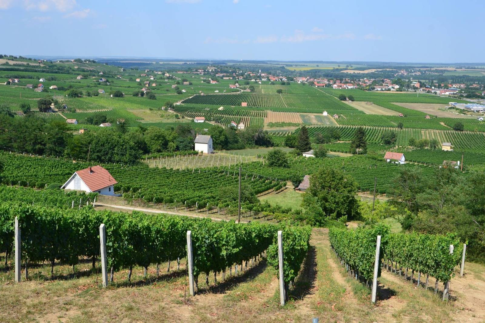
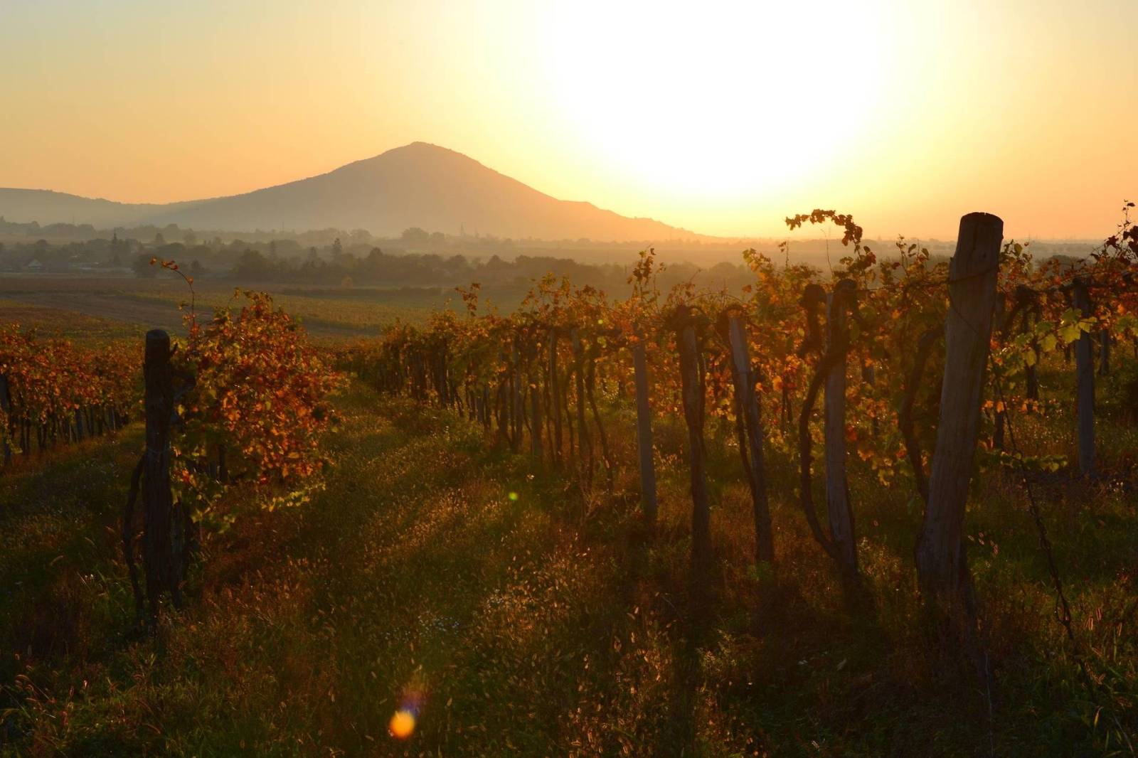
Villány
A region of Hungary, well known for its red wines. If you enjoy wine and vineyards, this is a great place for tasting and relaxing. Cycling through this vineyards region makes this one of the most scenic segments of the route.
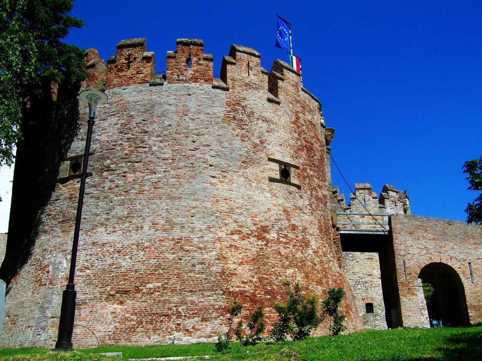
Siklós
Small town, close to the Villány wine region, famous for Siklós Castle, a fully restored medieval fortress.
Letenye
Small town with basic services and accommodation and a thermal bath, perfect for relaxing before or after the ride.
Tótszerdahely
Border villag near Letenye with traditional houses, and good example of multicultural border architecture.
Mohács
A short detour worth seeing. This historically significant town offers the Mohács Historical Memorial Site and Busó Festival Museum, which displays the masks and traditions from famous Hungarian Spring Carnival.
Csátalja
A quiet village with a few accommodations, close to natural wetlands and bird habitats.