


Daniel Łągiewkawierch
Charakterystyka trasy
2008-05-01
Ukraina, Ivano-Frankivs’ka Oblast’, Dzembronya

Długość trasy:
47 kmSuma przewyższeń:
1811 mSuma spadków:
1914 mOcena trasy:
2.9/6Komentarze
NA TYCH TRASACH PRZYDA CI SIĘ MAPOPRZEWODNIK LUB MAPA Z NASZEJ APLIKACJI
MAPA TURYSTYCZNA W APLIKACJI TRASEO
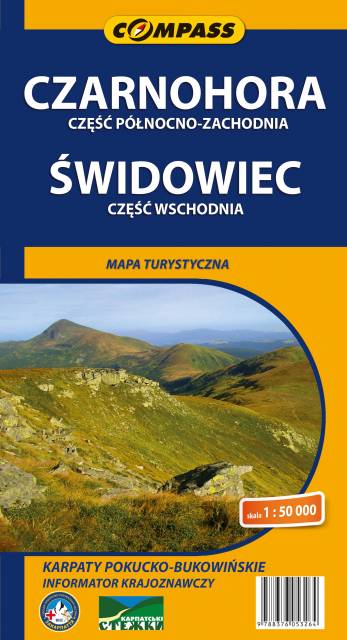
Czarnohora i Świdowiec
Mapa Czarnohory obejmuje obszar najwyższego masywu ukraińskich Karpat i całej Ukrainy z najwyższym szczytem – Howerlą (2061 m n.p.m.), jak również Połoninę Świdowiec – najwyższą i najbardziej rozległą wśród ukraińskich połonin z najwyższym szczytem pasma – Bliźnicą (1881 m n.p.m.). Jest to teren idealny na piesze kilkudniowe wędrówki. Znaczna część Czarnohory jest włączona do Karpackiego Parku Narodowego. Dla turystów najbardziej atrakcyjny jest odcinek grzbietu leżący między górami Howerla i Pop Iwan ze szczytami: Howerla, Breskuł, Pożyżewska, Turkuł, Rebra, Brebeneskuł, Czarna Góra – oddzielonymi płytkimi siodłami. Ze Świdowca można wyruszyć na kilkudniowe wędrówki po ogromnych połaciach pastwisk, podziwiając miejscami spektakularną rzeźbę kotłów polodowcowych z niewielkimi stawami na ich dnie.