


ArturArturro666666
Route characteristics
2019-07-25
Polska, mazowieckie, Karczew, powiat otwocki

Trip length:
14 kmTotal ascent:
624 mTotal descent:
611 mAverage time needed to complete the route:
2 h 22 minRoute rating:
1.4/6Comments
ON THESE ROUTES YOU WILL NEED A MAP GUIDE OR A MAP FROM OUR APP
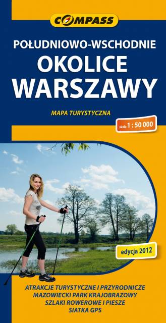
TOURIST MAP IN THE TRASEO APP
South-Eastern Warsaw Area
Map range: Zielonka to the north, suburban Warsaw to the west, Garwolin to the south, Stoczek Łukowski to the east. The region is known for numerous health resorts and large pin woods of Masovian Landscape Park. It is covered by network of walking and cycling trails, marked on the map.