Charakterystyka trasy

Komentarze
NA TYCH TRASACH PRZYDA CI SIĘ MAPOPRZEWODNIK LUB MAPA Z NASZEJ APLIKACJI
The map presents part of the Moravian-Silesian Beskids east from Valašské Meziříčí town and western part of the Maple Mountains, which is a mountain range of the Slovak-Moravian Carpathians. The region forms part of the border between the Czech Republic and Slovakia.
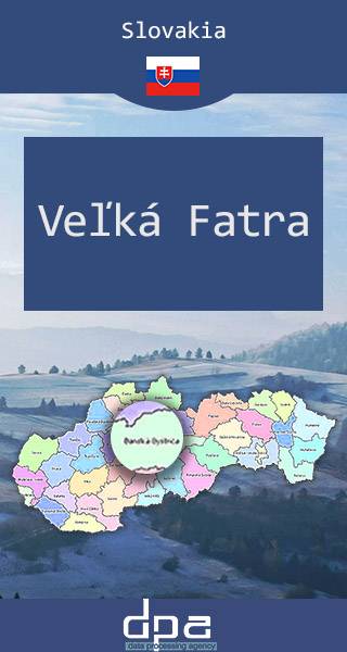
The Great Fatra (or Greater Fatra is a mountain range in the Western Carpathians in Slovakia. It lie to the southwest of the better known Malá (Lesser) Fatra mountains and are less developed, as well as, contrary to the name, being lower. The highest mountain is Ostredok at 1,592 m. Other notable summits of the largest Hôľna Fatra part are Krížna at 1,574.3 m and Ploská at 1,532.1 m, where the main ridge divides into two. Nearly 90% of the area is covered by forests. Most of the area was protected by the Veľká Fatra Protected Landscape Area since 1973, and the most valuable parts are included in the Veľká Fatra National Park since 2002. The rest of the former protected landscape area serves as a buffer zone now. There are several other tourist and skiing resorts in the range, e.g. one of the largest ski resorts in Slovakia - Skipark Ružomberok and Donovaly. The ruins of Blatnický and Sklabinský castles are located in this area. Also, the traditional architecture of Vlkolínec (a UNESCO's World Heritage Site) and Liptovské Revúce and the Ľubochňa and Turčianske Teplice spas can be found here.
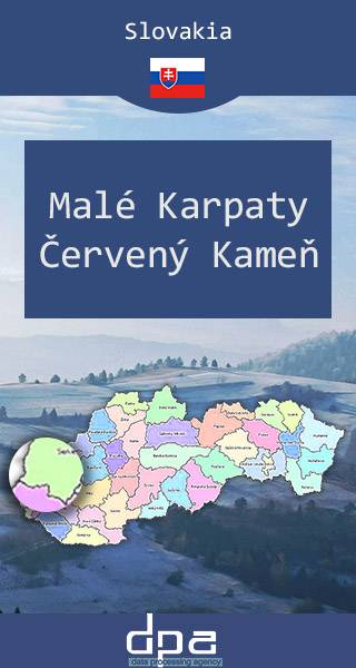
The map presents part of mountain range north from Bratislava, with famous castle in Červený Kameň. The mountains are situated in Western Slovakia, covering the area from Bratislava to Nové Mesto nad Váhom, and northeastern Austria. The Little Carpathians are bordered by Záhorie Lowland in the west and the Danubian Lowland in the east. The Little Carpathians were declared a protected area under the name Little Carpathians Protected Landscape Area. The area is rich in flora and fauna diversity and contains numerous castles. The Little Carpathians are a popular tourist destination in the Western Slovakia and the mountains are used for hiking, cycling, tramping, backpacking, automobile and motorcycle tourism, skiing, cross-country skiing and other winter sports. The mountain range contains a dense network of trails and the recreational infrastructure is relatively well developed, especially in the south. The Little Carpathians are popular as a destination place for the inhabitants of Bratislava and other larger cities in the region. Since the Middle Ages, the area is known for its wines and wine-making traditions. Well known centers of local wine-making include Svätý Jur, Modra and Pezinok. Main tourist centers include the Slovak capital Bratislava, Pezinská Baba (halfway between Pezinok and Pernek) and Zochova chata (near Modra).
Published: 2016/2017