

Charakterystyka trasy

Komentarze
NA TYCH TRASACH PRZYDA CI SIĘ MAPOPRZEWODNIK LUB MAPA Z NASZEJ APLIKACJI
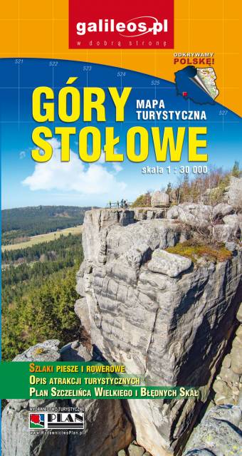
Mapa turystyczna Gór Stołowych w skali 1:30 000, zaktualizowana w terenie. Na mapie oznaczono czasy przejść. Znajdziemy tu szlaki turystyczne, rowerowe i piesze oraz najważniejsze informacje o charakterze turystycznym, a także informacje praktyczne. Rok wydania 2021
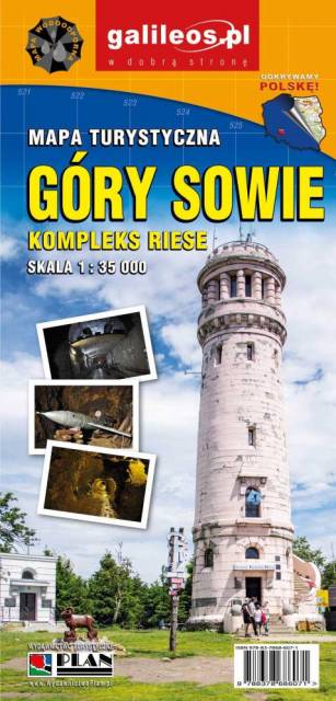
Mapa Gór Sowich Wydawnictwa Galileos z aktualnym przebiegiem szlaków turystycznych, zarówno pieszych jak i rowerowych. Wraz z czasem przejść. Zasięg mapy na północy wyznacza Świdnica, na wschodzie Bielawa, na południu Srebrna Góra i Nowa Ruda, na zachodzie Jedlina Zdrój. Rok wydania 2020
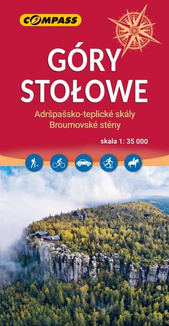
Mapa turystyczna Gór Stołowych przedstawia niezwykle malowniczy zakątek SUdetów. Góry Stołowe położone są w Sudetach Środkowych, na styku z Sudetami Wschodnimi. Mapa przedstawia obszar zamknięty na zachodzie przez czeski Hronov, na południu Duszniki-Zdrój, na wschodzie Szalejów Górny oraz na północy Police. Na mapie również czeskie Góry Stołowe: Adršpašsko-teplické skály i Broumovské stěny. Rok wydania 2023
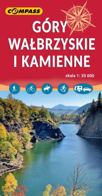
Mapa obejmuje Góry Wałbrzyskie, Góry Kamienne i Adszprasko-Teplickie Skały po czeskiej stronie. Na mapie są wszystkie elementy potrzebne turyście do poruszania się w tym ciekawym terenie. Podane odległości i czasy przejść pomogą zaplanować wycieczkę. Rok wydania 2023
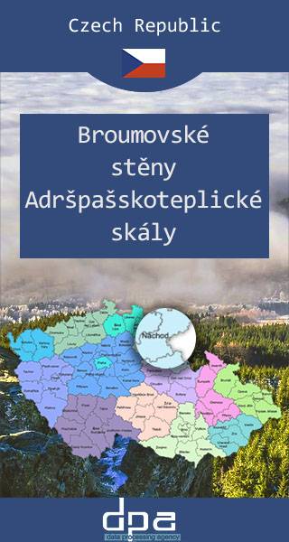
Mapa obejmuje bardzo atrakcyjną turystycznie czeską część Gór Stołowych. Podobnie jak w polskiej części masywu, także ten region obfituje w przeróżne ciekawe formacje skalne. Ciekawym szczytem Broumowskich Ścian jest leżąca nieopodal Koruna z punktem widokowym i interesującymi formacjami skalnymi na szczycie, natomiast za największą atrakcję uchodzi góra Hvězda (674 m n.p.m.), na której szczycie, na skalnej krawędzi, znajduje się barokowa kaplica Matki Boskiej Śnieżnej, wykonana z piaskowca ciosowego (zbudowana na podstawie pięcioramiennej gwiazdy). Miasta skalne znajdujące się w Adršpašskoteplickich skálach są jednym z najbardziej znanych piaskowcowych terenów wspinaczkowych na świecie. Między labiryntami form skalnych przebiega płatna trasa turystyczna niewymagająca żadnej wprawy przy chodzeniu po górach, składająca się z wygodnych schodków, poręczy, drabin i miejscami sztucznie wybudowanych chodników i platform. W pobliżu znajduje się też Teplickie Skalne Miasto – nieco mniej znane od Adršpašskoteplickich skál, lecz rozleglejsze, wyższe i bardziej dzikie.
Rok wydania: 2016/2017
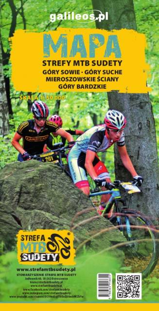
Mapa przedstawia zbiór 26 górskich tras Strefy MTB Sudety, w tym tras singletrack, enduro i torów pumptrack, wiodących po terenach Gór Sowich, Suchych oraz Kamiennych. Dodatkowo na mapie zaznaczono punkty dostępu do tras Strefy, serwisy i myjnie rowerowe oraz certyfikowane punkty noclegowe i gastronomiczne Strefy MTB.
Mapa tras rowerowych MTB swym zasięgiem obejmuje obszar od Boguszowa-Gorców na północnym zachodzie, po Bardo na południowym wschodzie. Ukształtowanie terenu pokazano przy pomocy warstwic o cięciu co 20 m.
Rok wydania: 2018