
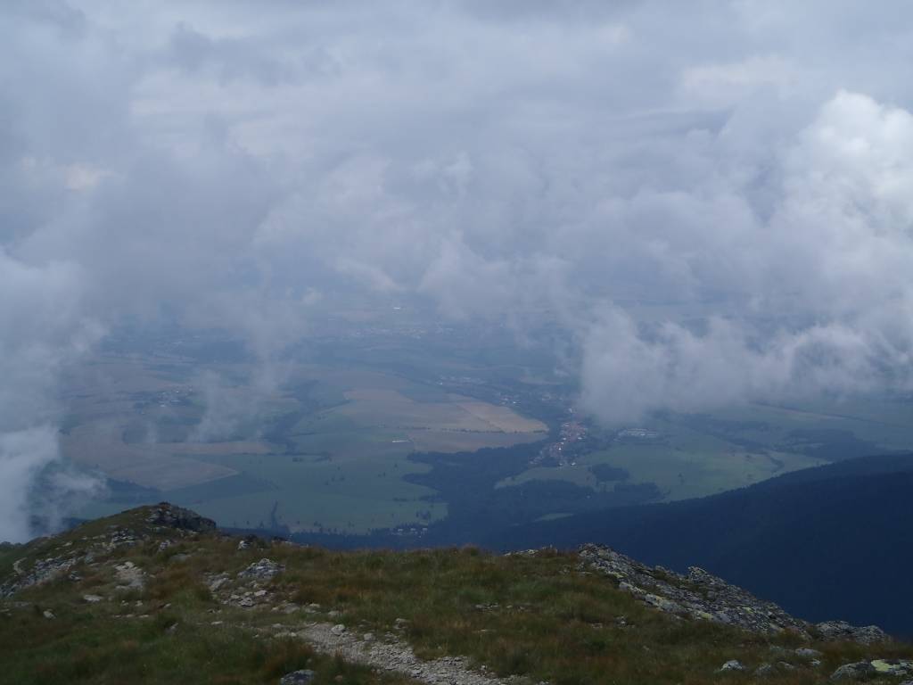
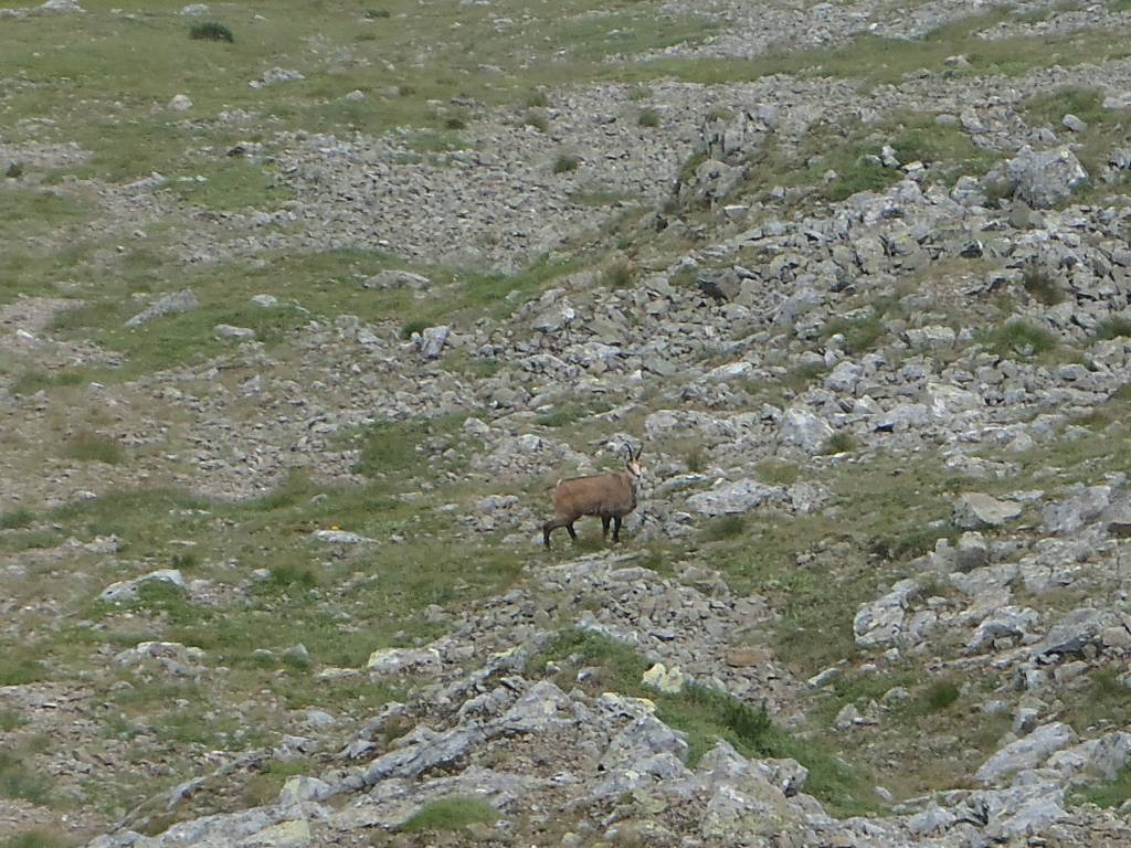
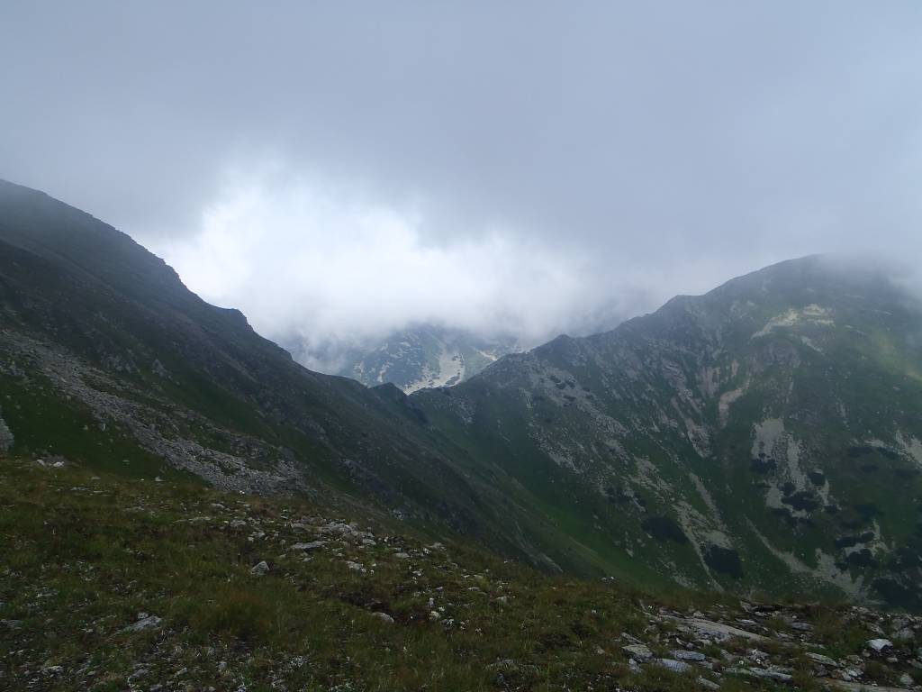

Charakterystyka trasy

Komentarze
NA TYCH TRASACH PRZYDA CI SIĘ MAPOPRZEWODNIK LUB MAPA Z NASZEJ APLIKACJI
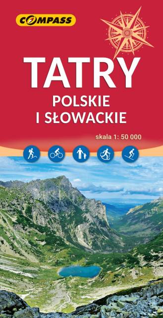
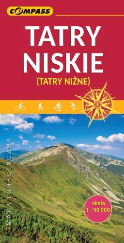
Mapa Tatry Polskie i Słowackie wydawnictwa Compass swoim zasięgiem obejmuje obszar Tatr Wysokich, Bielskich i Zachodnich leżących po stronie zarówno polskiej jak i słowackiej. Mapa Tatr przedstawia atrakcje turystyczne i przyrodnicze, szlaki turystyczne oraz wyciągi narciarskie.
Najpopularniejszym celem wędrówek turystów są Tatry Wysokie, których charakterystycznym elementem krajobrazu są: doliny U-kształtne, kotły, pokrywy morenowe, ostre i wąskie szczyty oraz grzbiety, zwane turniami. Szczyty Tatr Zachodnich są niższe i bardziej łagodne. Występują tu zjawiska krasowe, efektem czego są liczne jaskinie, wywierzyska, żłobki krasowe i leje krasowe. Znajduje się tutaj również wiele dróg wspinaczkowych dla taterników.
Mapa Tatr posiada cieniowanie, zastosowane w celu uzyskania wrażenia plastyczności rzeźby terenu. Rok wydania: 2023
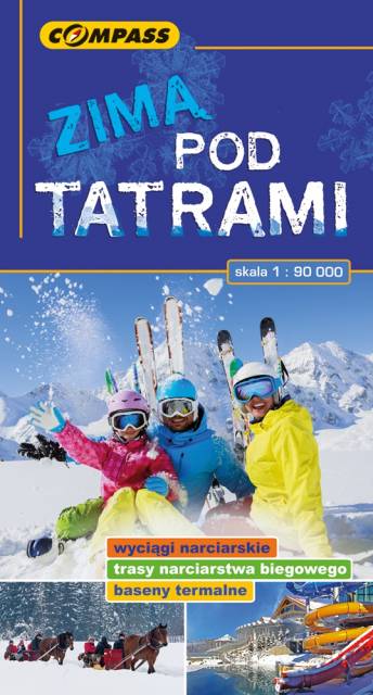
Mapa Tatr polskich i słowackich wraz z kompleksową treścią dla uprawiających sporty zimowe. Naniesione są ośrodki narciarskie wraz z ich charakterystyką i z podziałem na rodzaj akceptowanych w nich biletów, trasy narciarskie skitourowe i biegowe, tory saneczkowe, atrakcje dla dzieci, baseny termalne. Na mapie znajdziemy także informację o tym, które obszary Tatr zamknięte są na zimę dla ruchu turystycznego.
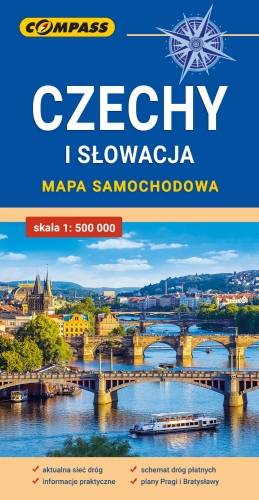
Mapa samochodowa Słowacji i Czech zawiera: aktualną sieć autostrad, dróg ekspresowych i głównych, z podziałem na dwupasmowe i jednopasmowe; drogi w budowie, numerację dróg oraz kilometraż. Na mapie zaznaczono: przejścia graniczne, Autostradowe Miejsca Obsługi Podróżnych, wybrane stacje benzynowe, parkingi i promy wodne, porty lotnicze, obszary leśne, parki narodowe, uzdrowiska, większe ośrodki narciarskie, obiekty na Liście UNESCO. Legenda w językach: polskim, angielskim, czeskim i słowackim.
Mapa dodatkowo zawiera:
- schemat dróg płatnych na Słowacji i w Czechach;
- wykaz węzłów na autostradach i drogach ekspresowych na Słowacji;
- plany Pragi i Bratysławy;
- schemat metra w Pradze;
- informacje praktyczne dla podróżujących samochodem po Słowacji i Czechach (m.in.: wybrane przepisy drogowe, wymagane dokumenty, obowiązkowe wyposażenie samochodu, rodzaje winiet).
Mapę offline można zakupić w aplikacji Traseo na urządzenia mobilne. Rok wydania 2020