


strusio8strusio8
Charakterystyka trasy
2015-04-09
Grajów

Długość trasy:
6.1 kmSuma przewyższeń:
216 mSuma spadków:
216 mŚredni czas potrzebny na pokonanie trasy:
2 h 1 minOcena trasy:
1.4/6Komentarze
NA TYCH TRASACH PRZYDA CI SIĘ MAPOPRZEWODNIK LUB MAPA Z NASZEJ APLIKACJI
MAPA TURYSTYCZNA W APLIKACJI TRASEO
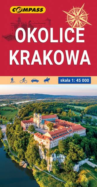
Krakow region
The map in detailed scale depicts the most interesting recreational terrains near Krakow, including Krakow Valleys Landscape Park, Ojców National Park, Niepołomice Forest, Wieliczka Foothills, Wadowice, Myślenice. Map range: Myślenice to the south, Sułoszowa to the north, Wadowice to the west, Bochnia to the east.