Charakterystyka trasy

Komentarze
NA TYCH TRASACH PRZYDA CI SIĘ MAPOPRZEWODNIK LUB MAPA Z NASZEJ APLIKACJI
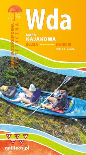
Mapa przedstawia szlak kajakowy rzeką Wdą od miejscowości Klanin do Świecia. Na mapie zaznaczono kilometraż rzeki oraz obiekty istotne dla kajakarza takie jak miejsca niebezpieczne, przeszkody na trasie spływu, pola biwakowe. Mapa jest zorientowana zgodnie z kierunkiem płynięcia.
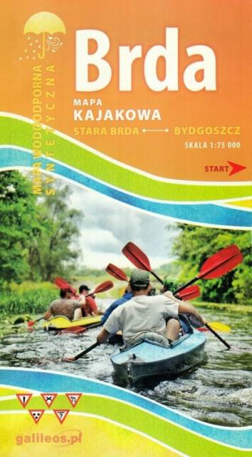
Mapa Brda przedstawia szlak kajakowy rzeką Brdą, od Tucholi do Bydgoszczy. Na mapie zaznaczono kilometraż rzeki oraz obiekty istotne dla kajakarza takie jak miejsca niebezpieczne, przeszkody na trasie spływu, pola biwakowe.
Mapa jest zorientowana zgodnie z kierunkiem płynięcia.
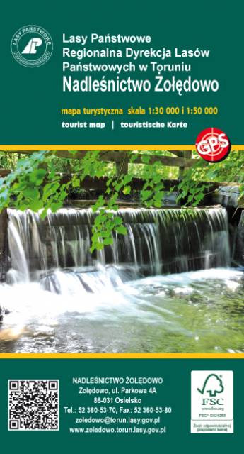
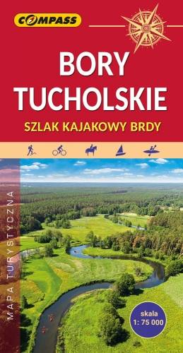
Mapa Borów Tucholskich przedstawia jest obszar, który jest jednym z największych kompleksów sosnowych w Polsce. Rozciąga się on się w dorzeczu Brdy i Wdy oraz w obrębie Równiny Tucholskiej i Równiny Charzykowskiej. Granice mapy wyznaczają: Wdzydze Tucholskie i Starogard Gdański na północy, Widno i Chojnice na zachodzie, Wierzchucin na południu i Warlubie na wschodzie. Rok wydania: 2024

Aktualizowana w terenie mapa krajoznawcza Ziemi Chełmińskiej. Na mapie zaznaczono w postaci ikon najważniejsze atrakcje turystyczne regionu. Mapa obejmuje swym zasięgiem Chełmno, Toruń, Chełmżę, Świecie, Grudziądz, Golub-Dobrzyń oraz Bydgoszcz. Rok wydania 2017