


Paweł Stolarskipastolarski
Charakterystyka trasy
2016-02-27

Długość trasy:
22 kmSuma przewyższeń:
422 mSuma spadków:
428 mŚredni czas potrzebny na pokonanie trasy:
59 minOcena trasy:
1.6/6Komentarze
NA TYCH TRASACH PRZYDA CI SIĘ MAPOPRZEWODNIK LUB MAPA Z NASZEJ APLIKACJI
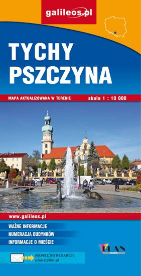
MAPA TURYSTYCZNA W APLIKACJI TRASEO
Tychy, Pszczyna i okolice
Mapa Pszczyny, Tych i okolic ograniczony jest przez Oświęcim na wschodzie i Żory na zachodzie, południowa część mapy to Jezioro Goczałkowickie. Na mapie zaznaczono informacje przydatne turyście i podano przebiegi szlaków pieszych i rowerowych. Wyróżniono miejscowości godne zwiedzania i miejsca szczególnie interesujące aktywnych.
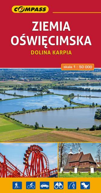
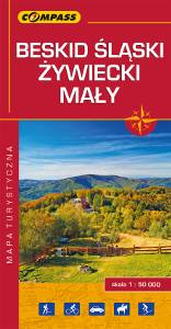
MAPA TURYSTYCZNA W APLIKACJI TRASEO
Beskid Śląski, Żywiecki i Mały
Mapa turystyczna Beskidu Śląskiego, Żywieckiego i Małego - zostały zaznaczone na niej najpotrzebniejsze dla turystów informacje: przebiegi szlaków i atrakcje turystyczne. Z mapy można korzystać będąc offline, po zakupie wybiera się ją jako jeden z podkładów mapowych, widać pozycję użytkownika na mapie. To świetna alternatywa dla map drukowanych. Rok wydania: 2018