


tomstartomstar
Route characteristics
2015-05-23

Trip length:
58 kmTotal ascent:
273 mTotal descent:
268 mAverage time needed to complete the route:
3 h 8 minRoute rating:
1.9/6Comments
ON THESE ROUTES YOU WILL NEED A MAP GUIDE OR A MAP FROM OUR APP

TOURIST MAP IN THE TRASEO APP
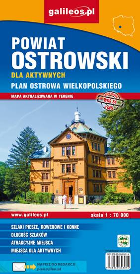
Ostrów Wielkopolski County
The map depicts the Ostrów Wielkopolski County in central Poland. Most interesting places are highlighted with a yellow frame. Cycling, walking nad didactic trails are marked in the map, as well as monuments, other tourist attractions, fisheries, accomodation facilities, stud farms, high rope courses, marinas, tennis courts, shooting ranges, sports halls, swimming pools and bathing areas.