


Anastazja12Anastazja12
Route characteristics
2023-09-14

Trip length:
27 kmTotal ascent:
719 mTotal descent:
737 mAverage time needed to complete the route:
4 h 21 minRoute rating:
3.6/6Comments
ON THESE ROUTES YOU WILL NEED A MAP GUIDE OR A MAP FROM OUR APP
TOURIST MAP IN THE TRASEO APP
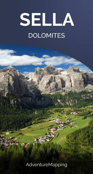
Sella Group
The Sella group is a plateau-shaped massif in the Dolomites mountains of northern Italy. The Sella lies north of the Marmolada and to the east of the Langkofel. The highest peak is Piz Boè at 3,151 m above sea level. The Sella lies between the four Ladin valleys of Badia, Gherdëina, Fascia, and Fodom and is divided between the provinces of South Tyrol, Trentino and Belluno. It can be driven around by car crossing the Campolongo Pass, Pordoi Pass, Sella Pass, and Gardena Pass. In winter it is possible to ski around the entire massif by using the Sella Ronda ski lift carousel. (wikipedia.com)
TOURIST MAP IN THE TRASEO APP
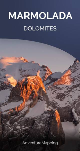
Marmolada
Marmolada is a mountain in northeastern Italy and the highest mountain and one of the most popular tourist destination of the Dolomites. It lies between the borders of Trentino and Veneto. The mountain is located about 100 kilometres north-northwest of Venice, from which it can be seen on a clear day. On the north side there is a comparatively flat glacier, the only large glacier in the Dolomites.