


Charakterystyka trasy

Komentarze
NA TYCH TRASACH PRZYDA CI SIĘ MAPOPRZEWODNIK LUB MAPA Z NASZEJ APLIKACJI
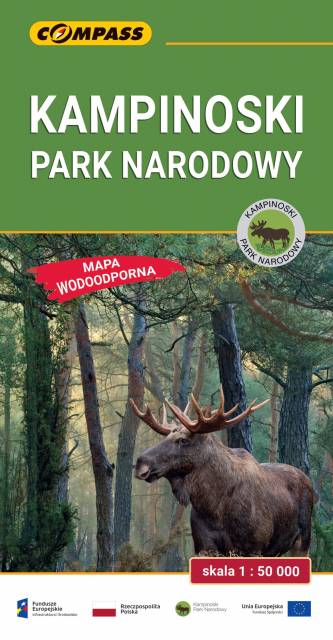
Mapa Kampinoskiego Parku Narodowego obejmuje cały obszar Parku (wraz z enklawami) oraz tereny przyległe. Zasięg mapy od północy ogranicza dolina Wisły, od zachodu Bzura, a od wschodu aglomeracja warszawska. Zasięg mapy wyznaczają: Nowy Dwór Mazowiecki na północy, Sochaczew na zachodzie, Pruszków na południu i Warszawa oraz Legionowo na wschodzie. Wydanie: 2024
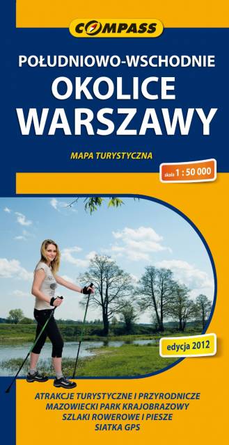
Mapa południowych okolic Warszawy w skali 1:50 000, na mapie przedstawiono obszar od śródmieścia Warszawy na północy, po Grójec na południu. Na zachodzie zasięg mapy wyznaczają Ożarów Mazowiecki i Pruszków, na wschodzie - Garwolin. Na mapie znajdziemy szlaki piesze i rowerowe oraz rezerwaty w okolicach Piaseczna, Pruszkowa, Józefowa, Konstancina-Jeziornej, Otwocka, Karczewa, Mińska Mazowieckiego, Góry Kalwarii.
Zawarto tu w całości Chojnowski Park Krajobrazowy i Mazowiecki Park Krajobrazowy. Rok wydania 2024