


Charakterystyka trasy

Komentarze
NA TEJ TRASIE PRZYDA CI SIĘ MAPA Z NASZEJ APLIKACJI
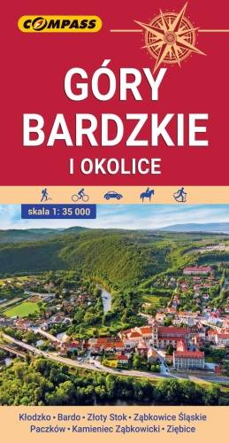
Mapa przedstawia najdalej na wschód wysunięte pasmo górskie w Sudetach Środkowych, a także dodatkowo część Gór Sowich i Gór Złotych. Zasięg mapy wyznaczają: Ząbkowice Śląskie na północy, Ołdrzychowice Kłodzkie i Złoty Stok na południu, Wolibórz na zachodzie i Paczków na wschodzie. Na mapie znalazły się także plany miast: Kłodzko centrum, Bardo, Złoty Stok, Ząbkowice Śląskie, Paczków, Kamieniec Ząbkowicki, Ziębice. Na mapie zastosowano cieniowanie w celu uzyskania wrażenia plastyczności rzeźby terenu. Mapę offline można zakupić w aplikacji Traseo na urządzenia mobilne. Rok wydania 2021
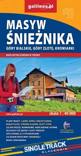
The map covers the Śnieżnik Mountains and some other mountains ranges in the Eastern Sudetes, spreading Polish-Czech border: Bialskie Mountains, Golden Mountains, Krowiarki. Tourist attractions, as well as cycling, walking skiing and horse trails are marked on the map. Most interesting places are highlighted with a yellow frame.
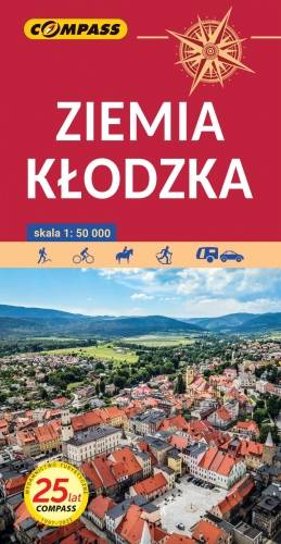
The map presents the region of Kłodzko Land (Ziemia Kłodzka) in the Sudety mountains, western Poland. It consists of the Kłodzko Valley and the surrounding Sudety mountains. Map range: Złoty Stok and Javornik to the east, Kudowa Zdrój and the pass of Stołowe Mountains to the west, Ząbkowice Ślaskie to the north and Kraliky town to the south.
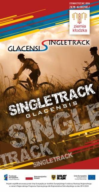
This tourist map shows the area of Klodzko Land (the Polish part of the Glacensis Euroregion) with the network of new bicycle routes Singletrack Glacensis, located in the Bardzkie, Złote, and Śnieżnik Mountains. The routes lead from the Wilcza Pass through Bardo, Złoty Stok, Lądek-Zdrój, Stronie Śląskie and Międzygórze to Jodłowo. The map highlights and describes attractions, interesting localities, tourist information points, nature reserves and landscape parks, bicycle services, repair and e-bike charging stations and rest shelters.
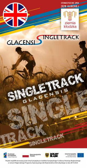
The tourist map presents the area of the Kłodzko Land (Polish part of the Glacensis Euroregion) with a network of new cycling trails called Singletrack Glacensis, located in the Bardzkie Mountains, Złote and the Śnieżnik Massif. The trails lead from Wilcza Pass through Bardo, Złoty Stok, Lądek-Zdrój, Stronie Śląskie and Międzygórze to Jodłowa. The map features and describes attractions, interesting towns, tourist information points, reserves and landscape parks, bicycle services, repair stations, e-bike charging stations and rest areas.