
Charakterystyka trasy

Komentarze
NA TEJ TRASIE PRZYDA CI SIĘ MAPA Z NASZEJ APLIKACJI
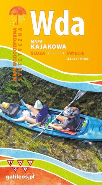
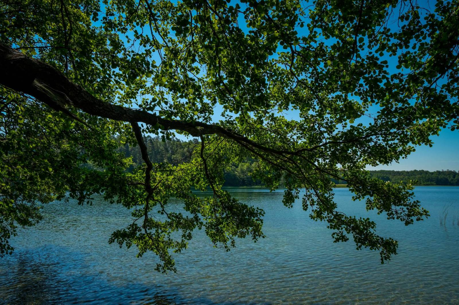
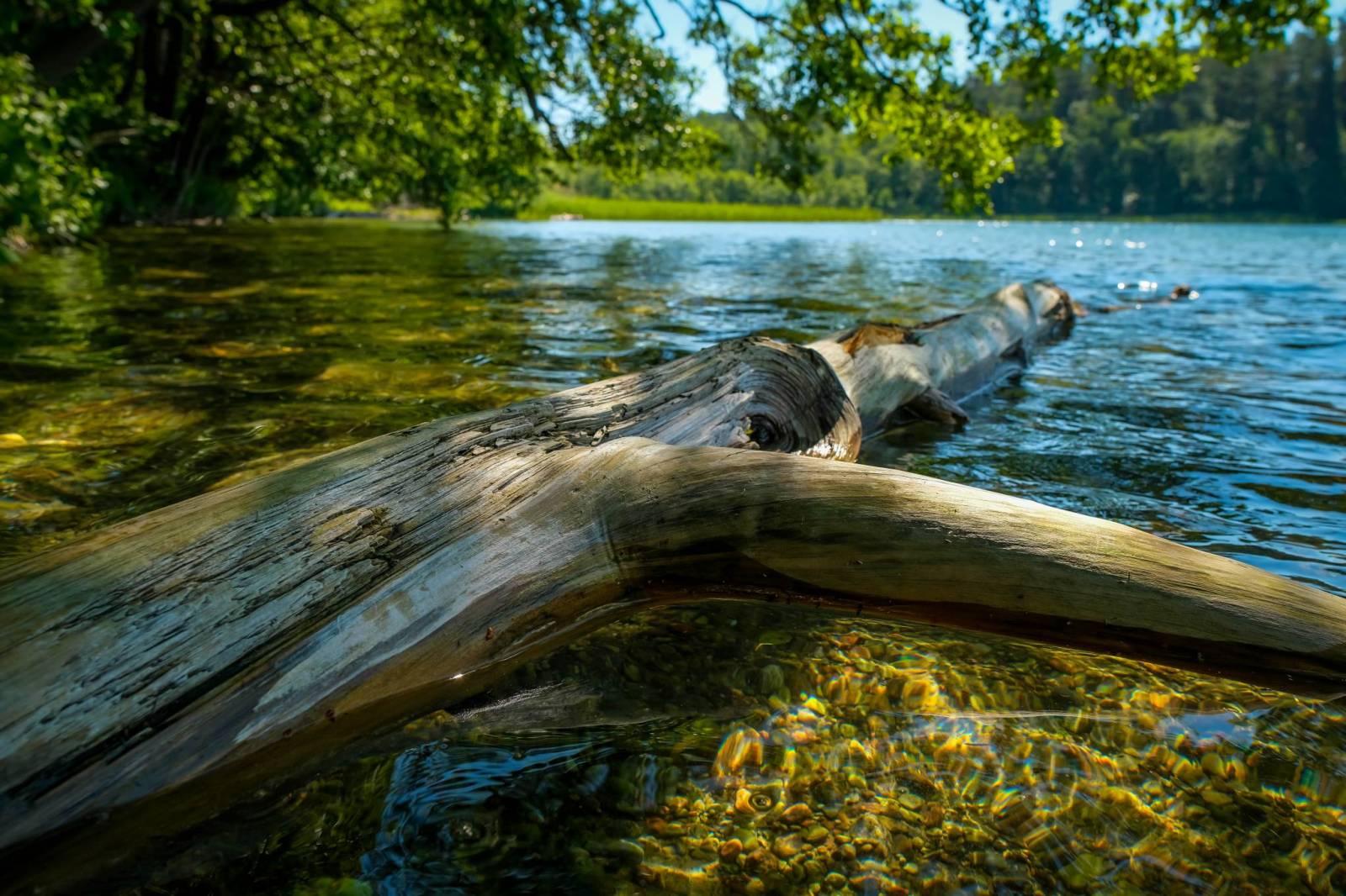
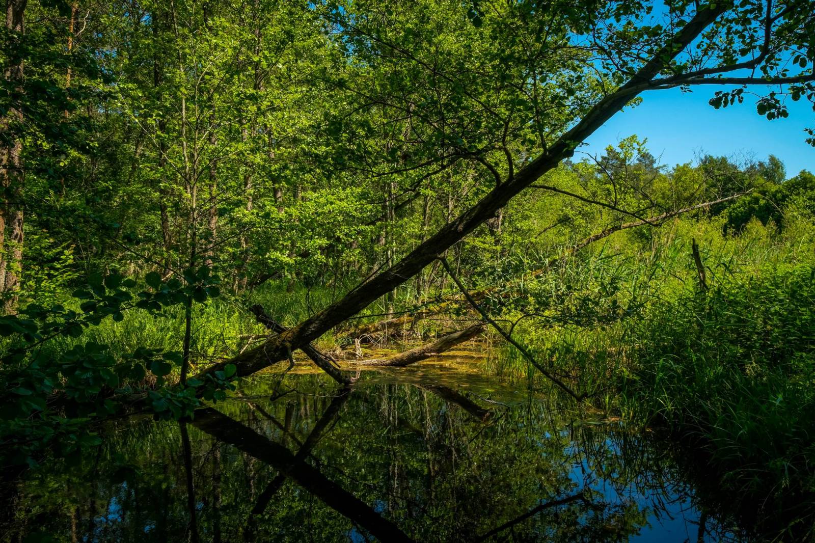
Mapa przedstawia szlak kajakowy rzeką Wdą od miejscowości Klanin do Świecia. Na mapie zaznaczono kilometraż rzeki oraz obiekty istotne dla kajakarza takie jak miejsca niebezpieczne, przeszkody na trasie spływu, pola biwakowe. Mapa jest zorientowana zgodnie z kierunkiem płynięcia.

The map of Kociewie and Powiśle in the western part covers the area enclosed by Skarszewo in the west, Kwidzyn in the south, Malbork in the east and Tczew in the north. The map provides a detailed depiction of the area, including trails and tourist attractions. On the map of Powiśle and Kociewie you will find, among others, the Powiśle Castle Route, the Grzymisław Route, EuroVelo 9 and the Kopernikowski Route.
Kociewie is an ethnographic and cultural region in Gdańsk Pomerania, located on the left bank of the Vistula River in the Wda and Wierzyca river basins, covering the eastern part of the Tuchola Forest. Approximately Kociewie is located in the area of the present Starogardzki, Tczewski and northern part of Świecki counties, inhabited by approximately 350,000 people. Some of the region's inhabitants speak a Kocievian dialect.
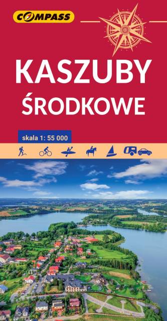
Kashubia is an area in eastern Pomerania, a region of north-western Poland. In this characteristic post-glacial landscape with hills rising up to 656 feet above sea level, there are almost 250 lakes. At the same time, it is also one of the largest forest areas in Poland. Located west of Gdańsk and the mouth of the Vistula river, it is inhabited by members of the Kashubian ethnic group. The map depicts the middle part of the region, the Tuchola Forest and part of the Tricity Landscape Park near Gdańsk.
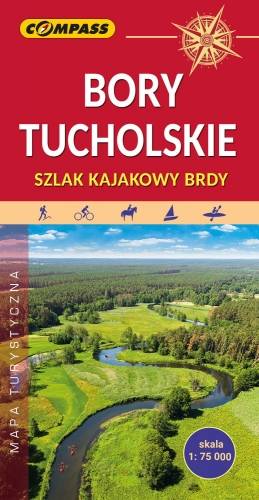
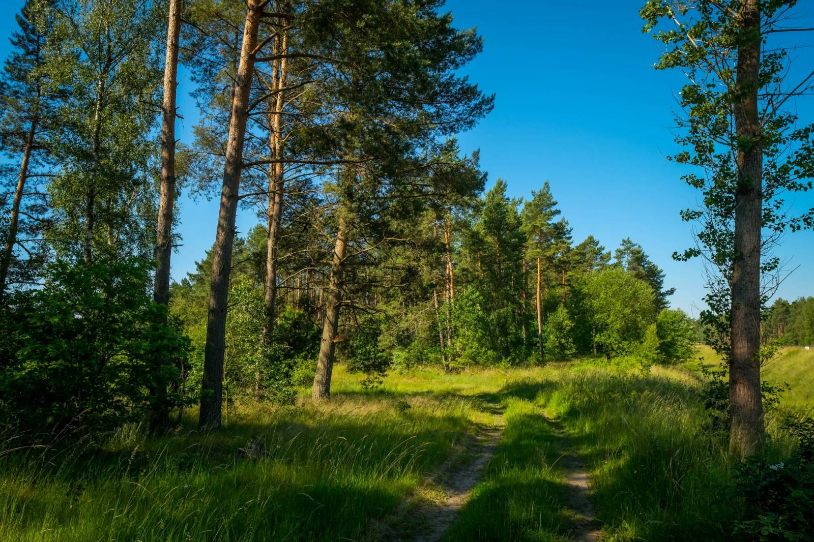
The Tuchola Forest (Bory Tucholskie) is a large pine woods near the town of Tuchola in northern Poland, which lies between Brda and Wda Rivers. The area is one of the biggest forests in Poland and Central Europe, and it is protected by the Tuchola Forest National Park. The map range: Wdzydze Tucholskie and Starogard Gdański to the north, Widno and Chojnice to the west, Wierzchucin to the south and Warlubie to the east.
Mapa obejmuje Kaszubski, Wdzydzki i Zaborski Park Krajobrazowy oraz Park Narodowy Bory Tucholskie. Najważniejsze miejscowości które znalazły się namapie to: Kartuzy, Ostrzyce, Szymbark, Bytów, Kościerzyna, Brusy, Swornegacie, Charzykowy, Chojnice i Człuchów. Na mapie zaznaczono miejscowości, drogi, zabytki, ważniejsze noclegi, szlaki piesze, rowerowe i kajakowe z kilometrażem, przystanie i kąpieliska.