
LenaMichalskaNa Traseo od maja 2024
CHARAKTERYSTYKA TRASY
2024-05-13
Polska, pomorskie, Kościeleczki

2535 km
0 m
0 m
Łatwy
3.1/6
Komentarze
NA TEJ TRASIE PRZYDA CI SIĘ MAPA Z NASZEJ APLIKACJI
MAPA TURYSTYCZNA W APLIKACJI TRASEO
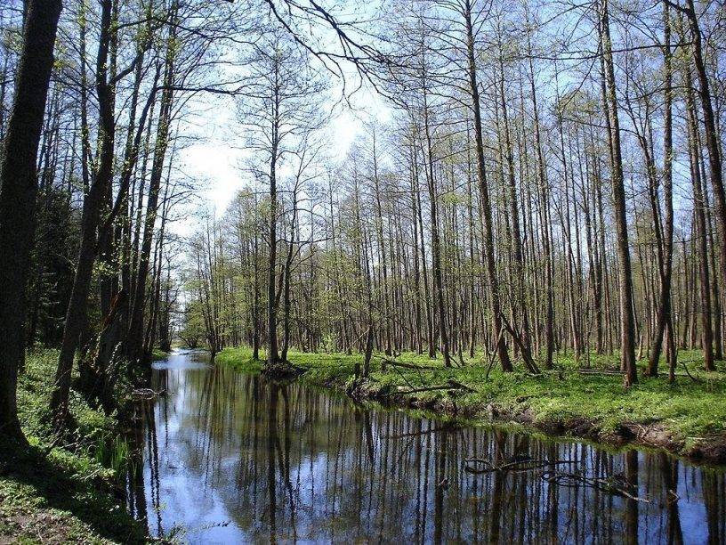
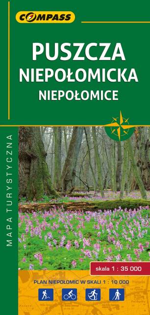
Niepołomice Forest
The map presents the large forest area east from Kraków. This is one of the most popular recreational area near this big city, also called "green lungs" of Kraków. It's a perfect place for outdoor activities, such as strolling, cycling and cross country skiing. Tourists interested in history can visit the royal castle from XIV century in Niepołomice - Polish kings used to hunt in the area.
The map range: Wawrzeńczyce to the north, Kraków to the west and Bochnia to the south-east.
Update: 2017
MAPA TURYSTYCZNA W APLIKACJI TRASEO
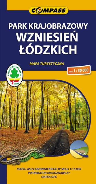
Łódź Hills Landscape Park
Łódź Hills Landscape Park is a protected area in central Poland, established in 1996, covering an area of 137.67 square kilometres (53.15 sq mi). The Park lies within Łódź Voivodeship: in Brzeziny County (Gmina Brzeziny, Gmina Dmosin), Łódź East County (Gmina Nowosolna) and Zgierz County (Gmina Stryków, Gmina Zgierz). Within the Landscape Park are three nature reserves.