category-icon

Wieże ciśnień trasa dziewiąta

135 km
9 h 39 min
1.9 km
Ruda Śl. Bytom, Chorzów

CHARAKTERYSTYKA TRASY

2018-07-22
Ruda Śl. Bytom, Chorzów
category-icon
135 km
1916 m
1637 m
Trudny
9 h 39 min
3.8/6
Kolejna wycieczka po Górnym śląsku w poszukiwaniu wież ciśnień.

Komentarze

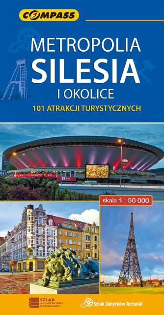
NA TEJ TRASIE PRZYDA CI SIĘ MAPA Z NASZEJ APLIKACJI

Świętochłowice. Plan miasta
MAPA TURYSTYCZNA W APLIKACJI TRASEO
Świętochłowice. Plan miasta

Plan Świętochłowic – skala 1: 9 000 ze spisem ulic. Plan aktualizowany w terenie. Na planie zaznaczono między innymi rodzaje nawierzchni dróg, szkoły, numeracje posesji. Plan obejmuje miasto w granicach administracyjnych. 

Area of Tychy and Pszczyna
MAPA TURYSTYCZNA W APLIKACJI TRASEO
Area of Tychy and Pszczyna

The map range: Oświęcim to the east, Żory to the west, Goczałkowickie Lake to the south. The map presents information useful for tourists, walking and cycling trails, tourist attractions. The most interesting places are highlighted with a yellow frame.

Gliwice Area
MAPA TURYSTYCZNA W APLIKACJI TRASEO
Gliwice Area
The map covers part of the Silesian Voivodeship in southern Poland: Gliwice city and its surroundings. Lot of information useful for tourists is marked on the map: monuments, accomodation facilities, protected areas, cycling and walking trails. The most interesting places are highlighted with a yellow frame.
Rybnik Region
MAPA TURYSTYCZNA W APLIKACJI TRASEO
Rybnik Region

The map range: Żory in Poland to the east, Karviná in Czech Republic to the south, Wodzisław Śląski (Poland) and Ostrava suburbs (Czech Republic) to the west, and Gliwice suburbs (Poland) to the north. Tourist attractions, cycling and walking trails, boundaries of protected areas, as well as accomodation facilities are marked on the map.

Upper Silesian Metropolitan Area
MAPA TURYSTYCZNA W APLIKACJI TRASEO
Upper Silesian Metropolitan Area
The map in detailed scale presents part of Upper Silesia - historical and geographical region situated in southern Poland. The Upper Silesian metropolitan area lies within the Upper Silesian Coal Basin. It is characterized by a rich tradition of folklore, many industrial monuments, and some green areas. Cycling, walking and didactic trails are marked on the map, as well as other interesting information, e.g. historical borders of Polnad - from 1914 and 1939. The map range: Tarnowskie Góry to the north, Tychy to the south, Gliwice to the west and Jaworzno to the east.
Euroregion Praděd
MAPA TURYSTYCZNA W APLIKACJI TRASEO
Euroregion Praděd

Turistická mapa Euroregionu Praděd zahrnuje území česko-polského příhraničí: na české straně okresy Jeseník a Bruntál, na polské straně Opolské vojvodství. Speciálně zpracovaný kartografický podklad obsahuje nezbytné informace pro aktivní turistiku v přeshraniční oblasti: pěší, jezdecké, cyklistické stezky a další významné objekty infrastruktury cestovního ruchu. 

Mapa byla zpracována v rámci projektu „E-bike moderní turistika" spolufinancovaného z prostředků Evropského fondu pro regionální rozvoj a ze státního rozpočtu. „Překračujeme hranice"