category-icon

Wieże ciśnień i drewniane kościółki

105 km
7 h 58 min
7.5 km
Tarnowskie Góry-Lubliniec

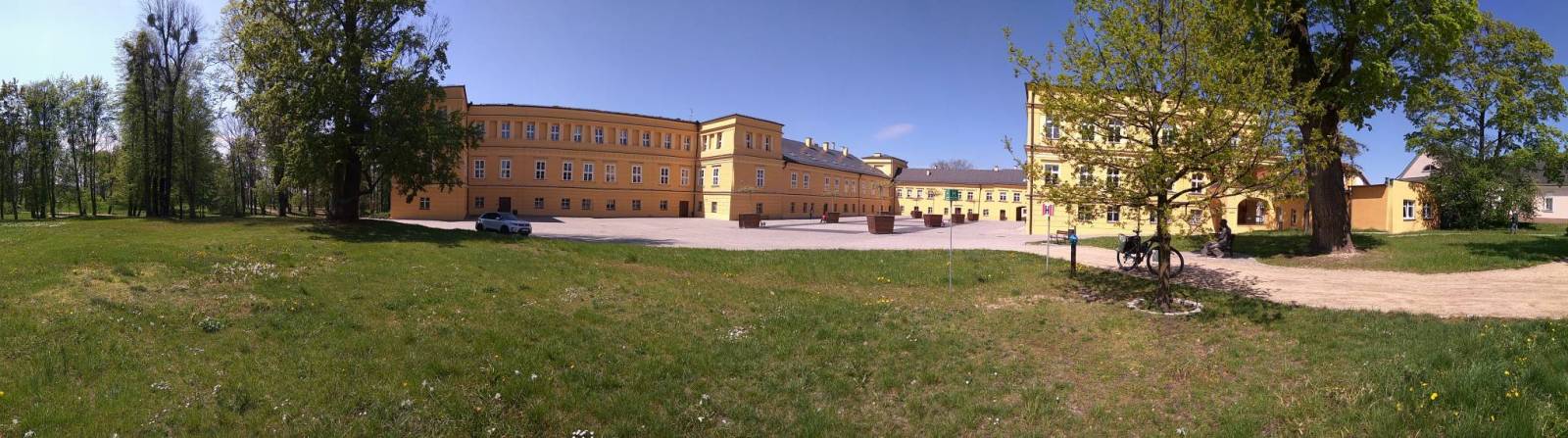
CHARAKTERYSTYKA TRASY

2019-05-01
Tarnowskie Góry-Lubliniec
category-icon
105 km
7532 m
7532 m
Średni
7 h 58 min
4.9/6
Wyjazd samochodem do Parku w Reptach i stamtąd trasa na Lubliniec, Kalety, Miasteczko śl. do Tarnowskich Gór. Celem wypadu jak wcześniejsze trasy były wieże cisnień i zabytkowe kościoły drewniane, oprócz tego parę Pałaców i zamek w Starych Tarnowicach. Wypad bardzo udany szlaki i tarasy rowerowe na całej długości bardzo dobre, zdarzały się odcinki paruset metrowe z piaskiem , ale bez większych problemów do przejechania.

Komentarze

NA TEJ TRASIE PRZYDA CI SIĘ MAPA Z NASZEJ APLIKACJI

Gliwice Area
MAPA TURYSTYCZNA W APLIKACJI TRASEO
Gliwice Area
The map covers part of the Silesian Voivodeship in southern Poland: Gliwice city and its surroundings. Lot of information useful for tourists is marked on the map: monuments, accomodation facilities, protected areas, cycling and walking trails. The most interesting places are highlighted with a yellow frame.
Częstochowa Region
MAPA TURYSTYCZNA W APLIKACJI TRASEO
Częstochowa Region

The map covers west suburbs of Częstochowa, Upper Liswarta Forests Landscape Park and Lubliniec County. Tourist attracions, cycling and walking trails, as well as protected areas and natural monuments are marked on the map.

Upper Silesian Metropolitan Area
MAPA TURYSTYCZNA W APLIKACJI TRASEO
Upper Silesian Metropolitan Area
The map in detailed scale presents part of Upper Silesia - historical and geographical region situated in southern Poland. The Upper Silesian metropolitan area lies within the Upper Silesian Coal Basin. It is characterized by a rich tradition of folklore, many industrial monuments, and some green areas. Cycling, walking and didactic trails are marked on the map, as well as other interesting information, e.g. historical borders of Polnad - from 1914 and 1939. The map range: Tarnowskie Góry to the north, Tychy to the south, Gliwice to the west and Jaworzno to the east.
Euroregion Pradziad
MAPA TURYSTYCZNA W APLIKACJI TRASEO
Euroregion Pradziad

The tourist map of the Pradziad Euroregion covers the area of the Polish-Czech border region: the Opolskie voivodeship on the Polish side and the Jeseník and Bruntál regions on the Czech side. A specially developed cartographic base contains necessary information for active tourism in the cross-border region: hiking trails, horse riding trails, cycle routes and others.

The map was produced under the project "E-bike modern tourism" co-financed by the European Regional Development Fund and the state budget. "We cross borders".


Euroregion Praděd
MAPA TURYSTYCZNA W APLIKACJI TRASEO
Euroregion Praděd

Turistická mapa Euroregionu Praděd zahrnuje území česko-polského příhraničí: na české straně okresy Jeseník a Bruntál, na polské straně Opolské vojvodství. Speciálně zpracovaný kartografický podklad obsahuje nezbytné informace pro aktivní turistiku v přeshraniční oblasti: pěší, jezdecké, cyklistické stezky a další významné objekty infrastruktury cestovního ruchu. 

Mapa byla zpracována v rámci projektu „E-bike moderní turistika" spolufinancovaného z prostředků Evropského fondu pro regionální rozvoj a ze státního rozpočtu. „Překračujeme hranice"

Opole and Opole Voivodeship
MAPA TURYSTYCZNA W APLIKACJI TRASEO
Opole and Opole Voivodeship

The map covers the Opole Voivodeship in 1:190 000 scale and Opole city in 1:20 000 scale. On the map there are depicted present courses of roads, borders of counties and municipalities, petrol stations, hotels, parkings and monuments.