

CHARAKTERYSTYKA TRASY

Komentarze
NA TEJ TRASIE PRZYDA CI SIĘ MAPA Z NASZEJ APLIKACJI
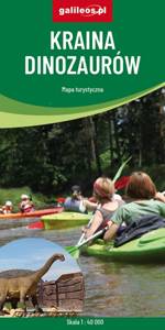
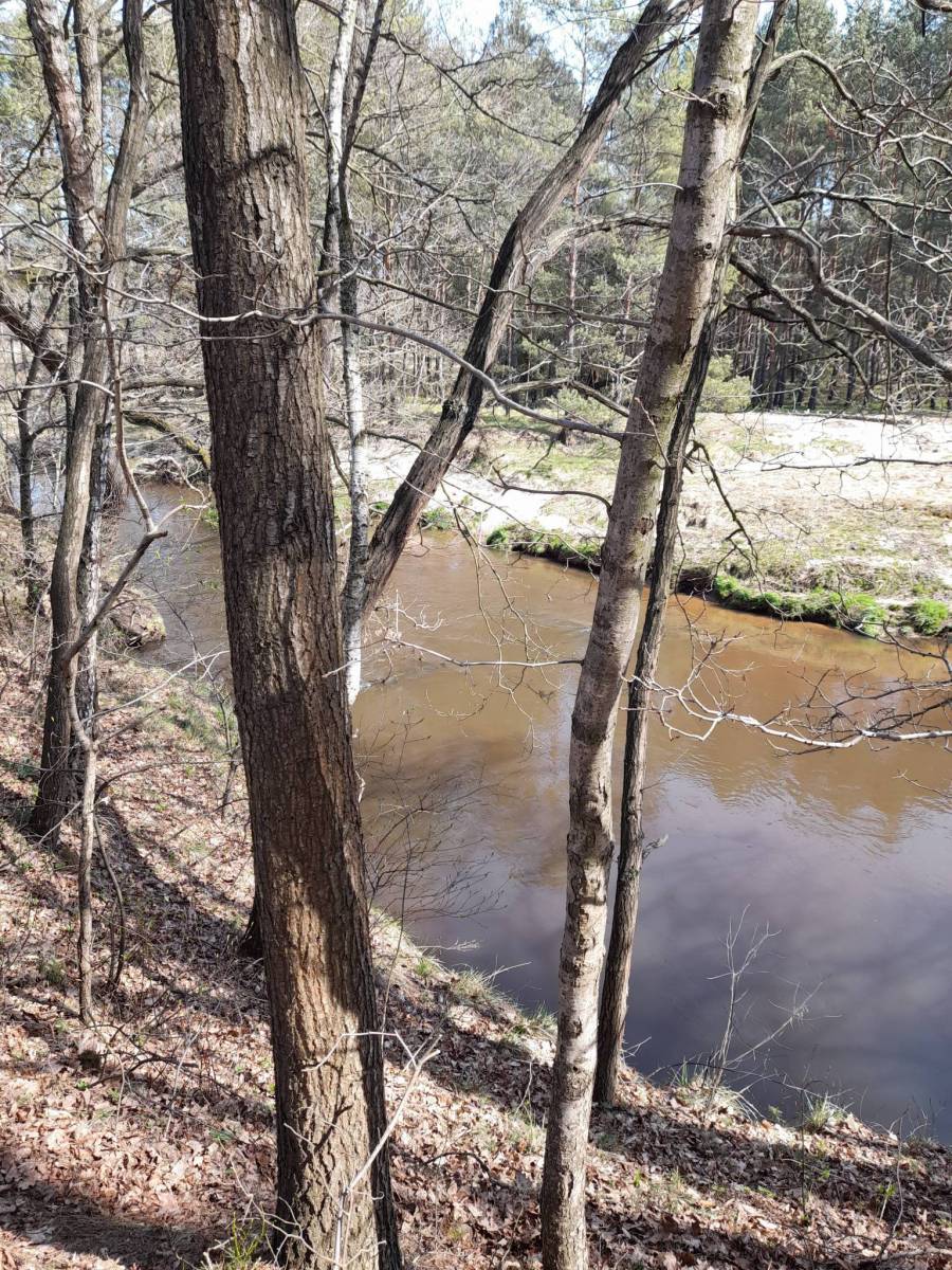
Kraina Dinozaurów to obszar ograniczony miejscowościami: Krupski Młyn, Dobrodzień, Zagwiździe, Opole. W centrum mapy znajduje się Jezioro Turawskie z zaznaczonymi wieloma ośrodkami. Obok Jeziora jest miejscowość Krasiejów, gdzie odkryto skamienieliny dinozaurów, na bazie tych wykopalisk utworzono „Park Krasiejów” z wieloma atrakcjami. Przez środek tego terenu przepływa rzeka Mała Panew – świetna do uprawiania kajakarstwa. Obszar ten jest bogaty w ciekawe zakątki, obiekty przyrodnicze i turystyczne. Zaznaczono wszystkie szlaki : piesze, rowerowe , konne i kajakowe.
Mapa została przygotowana tylko dla urządzeń cyfrowych, nie ma odpowiednika w wersji papierowej.

The tourist map of the Pradziad Euroregion covers the area of the Polish-Czech border region: the Opolskie voivodeship on the Polish side and the Jeseník and Bruntál regions on the Czech side. A specially developed cartographic base contains necessary information for active tourism in the cross-border region: hiking trails, horse riding trails, cycle routes and others.
The map was produced under the project "E-bike modern tourism" co-financed by the European Regional Development Fund and the state budget. "We cross borders".

Turistická mapa Euroregionu Praděd zahrnuje území česko-polského příhraničí: na české straně okresy Jeseník a Bruntál, na polské straně Opolské vojvodství. Speciálně zpracovaný kartografický podklad obsahuje nezbytné informace pro aktivní turistiku v přeshraniční oblasti: pěší, jezdecké, cyklistické stezky a další významné objekty infrastruktury cestovního ruchu.
Mapa byla zpracována v rámci projektu „E-bike moderní turistika" spolufinancovaného z prostředků Evropského fondu pro regionální rozvoj a ze státního rozpočtu. „Překračujeme hranice"
