
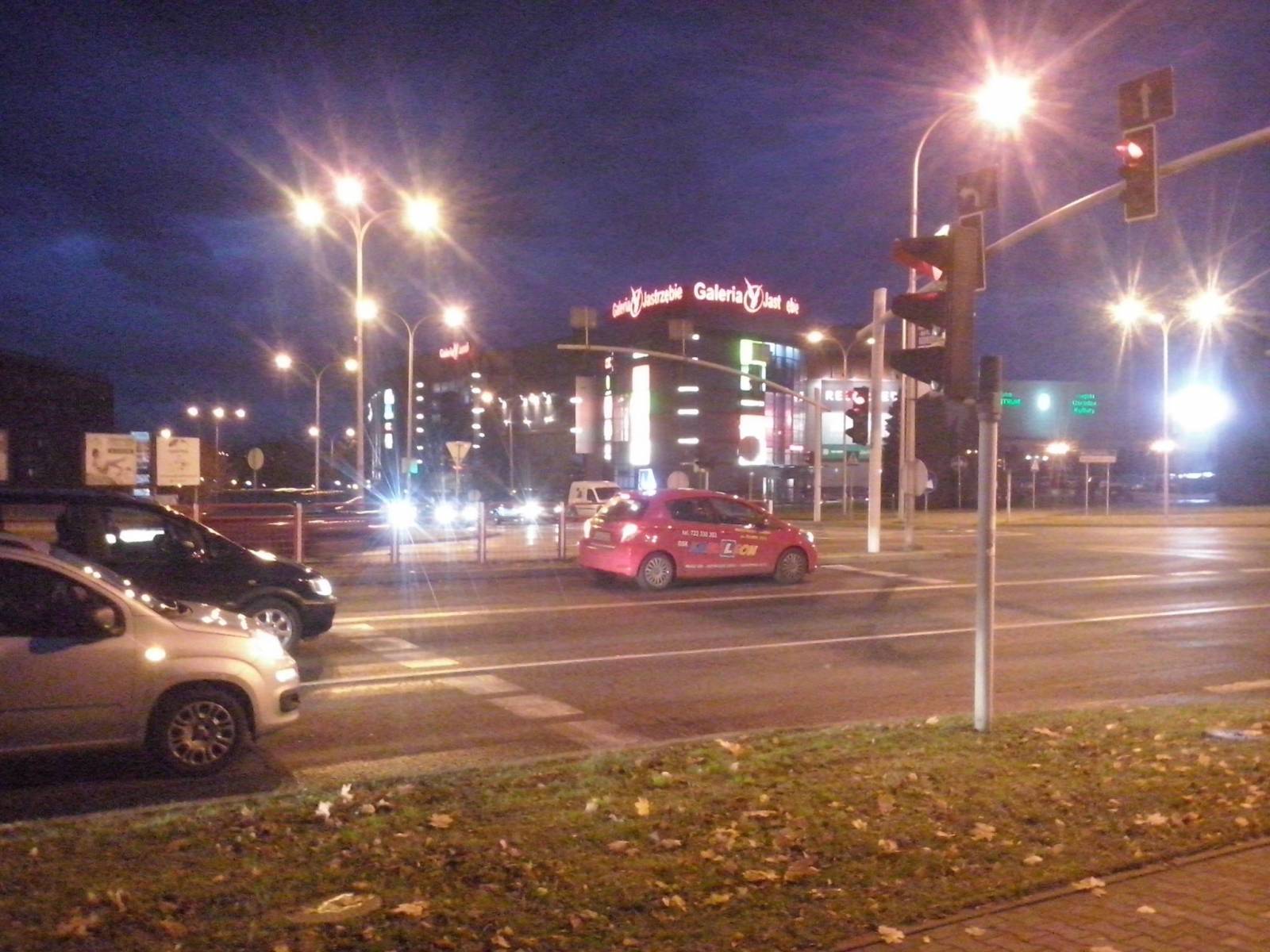


CHARAKTERYSTYKA TRASY

Komentarze
NA TEJ TRASIE PRZYDA CI SIĘ MAPA Z NASZEJ APLIKACJI
The map range: Oświęcim to the east, Żory to the west, Goczałkowickie Lake to the south. The map presents information useful for tourists, walking and cycling trails, tourist attractions. The most interesting places are highlighted with a yellow frame.
The map range: Żory in Poland to the east, Karviná in Czech Republic to the south, Wodzisław Śląski (Poland) and Ostrava suburbs (Czech Republic) to the west, and Gliwice suburbs (Poland) to the north. Tourist attractions, cycling and walking trails, boundaries of protected areas, as well as accomodation facilities are marked on the map.
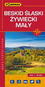
The map depicts part of the Polish Carpathian Mountains in Silesia region: Beskid Śląski (Silesian Beskids), Beskid Żywiecki (Żywiec Beskids) and Beskid Mały (Small Beskids). The Polish part of the range includes protected areas, such as Silesian Beskids Landscape Park. Hiking tracks and tourist attractions are marked on the map.
Update: 2014

Turistická mapa Euroregionu Praděd zahrnuje území česko-polského příhraničí: na české straně okresy Jeseník a Bruntál, na polské straně Opolské vojvodství. Speciálně zpracovaný kartografický podklad obsahuje nezbytné informace pro aktivní turistiku v přeshraniční oblasti: pěší, jezdecké, cyklistické stezky a další významné objekty infrastruktury cestovního ruchu.
Mapa byla zpracována v rámci projektu „E-bike moderní turistika" spolufinancovaného z prostředků Evropského fondu pro regionální rozvoj a ze státního rozpočtu. „Překračujeme hranice"

The tourist map of the Pradziad Euroregion covers the area of the Polish-Czech border region: the Opolskie voivodeship on the Polish side and the Jeseník and Bruntál regions on the Czech side. A specially developed cartographic base contains necessary information for active tourism in the cross-border region: hiking trails, horse riding trails, cycle routes and others.
The map was produced under the project "E-bike modern tourism" co-financed by the European Regional Development Fund and the state budget. "We cross borders".
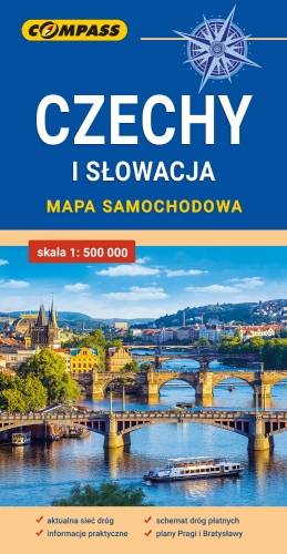
Mapa samochodowa Słowacji i Czech zawiera: aktualną sieć autostrad, dróg ekspresowych i głównych, z podziałem na dwupasmowe i jednopasmowe; drogi w budowie, numerację dróg oraz kilometraż. Na mapie zaznaczono: przejścia graniczne, Autostradowe Miejsca Obsługi Podróżnych, wybrane stacje benzynowe, parkingi i promy wodne, porty lotnicze, obszary leśne, parki narodowe, uzdrowiska, większe ośrodki narciarskie, obiekty na Liście UNESCO. Legenda w językach: polskim, angielskim, czeskim i słowackim.
Mapa dodatkowo zawiera:
- schemat dróg płatnych na Słowacji i w Czechach;
- wykaz węzłów na autostradach i drogach ekspresowych na Słowacji;
- plany Pragi i Bratysławy;
- schemat metra w Pradze;
- informacje praktyczne dla podróżujących samochodem po Słowacji i Czechach (m.in.: wybrane przepisy drogowe, wymagane dokumenty, obowiązkowe wyposażenie samochodu, rodzaje winiet).
Mapę offline można zakupić w aplikacji Traseo na urządzenia mobilne. Rok wydania 2020