


Charakterystyka trasy

Komentarze
NA TEJ TRASIE PRZYDA CI SIĘ MAPA Z NASZEJ APLIKACJI
Szczegółowa mapa turystyczna z uwzględnieniem atrakcji, zabytków, noclegów, gastronomii oraz innych miejsc przydatnych turyście. Zawiera nazwy ulic w miejscowościach oraz szlaki turystyczne wraz z kilometrażem. Idealna gdy urlop spędzasz w Zawoni bądź wybierasz się zdobyć najwyższy szczyt Beskidów – Babią Górę zaliczaną do Korony Gór Polskich.
Rok wydania: 2018
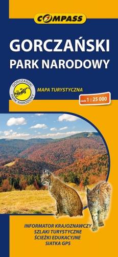
Mapa szczegółowo przedstawia obszar całego Gorczańskiego Parku Narodowego wraz z enklawami. Na mapie, poza typową treścią turystyczną, zaznaczono: zasięgi lasów i borów górnoreglowych i dolnoreglowych, starodrzewia świerkowe, jodłowe i bukowe, polany szczególnie atrakcyjne przyrodniczo, osobliwości przyrodnicze, szałasy (zwykłe, zabytkowe, będące własnością GPN, inne), a także wiele innych interesujących elementów. Na mapie zastosowano cieniowanie w celu uzyskania wrażenia plastyczności rzeźby terenu. Całość uzupełniają: informator teleadresowy oraz fotografie. Mapa powstała przy współpracy z Gorczańskim Parkiem Narodowym. Mapę offline można zakupić w aplikacji Traseo na urządzenia mobilne. Rok wydania 2020
Szczegółowa mapa turystyczna Pilska i okolic z uwzględnieniem atrakcji, zabytków, noclegów, gastronomii oraz innych miejsc przydatnych turyście. Zawiera wszystkie znakowane szlaki turystyczne piesze, rowerowe, ścieżki dydaktyczne wraz z kilometrażem. Obejmuje swym zasięgiem wycieczki między Korbielowem a Ujsołami miedzy innymi po takich szczytach jak Boraczy Wierch, Rysieńka, Kozi Wierch, Trzy Kopce, Palenica, Pięć Kopców i Pilsko – drugi pod względem wysokości (po Babiej Górze) szczyt w Beskidzie Żywieckim.
Rok wydania: 2018
The map of the commune of Krościenko nad Dunajcem covers the area of three mountain ranges: Pieniny, Gorce and Radziejowa Range of Beskid Sądecki. Hiking trails have been marked here along with the given time and mileage. With tourists in mind, locations of monuments and tourist attractions were also marked. With tourists in mind, locations of monuments and tourist attractions were also marked. The map contains historical paths around Krościenko nad Dunajcem as well as routes to 11 mushrooms, which are situated in distinct landscape points of the commune.
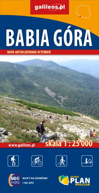
The map shows the eastern part of the Beskid Żywiecki with the Babia Góra National Park. The range of the map is marked by: Stryszawa in the north, Magurka (1'114 m asl) in the west, Kiczory in the south and Zubrzyca Górna in the east.
Babia Góra (1'725 m asl) has attracted the attention of travellers and researchers alike, and fascinated writers and poets for centuries. Not without a reason the mountain top was called Diablak, it was said that evil powers had its headquarters there. Among all Polish mountains, Babia Góra is second only to the peaks of the Tatra Mountains in terms of height. Its characteristic feature is the asymmetry of its slopes: the southern slopes descending towards Orava are relatively gentle in relation to the steep and precipitous northern slopes, clearly visible from Zawoja, which are referred to as the 'great break of Babia Góra'. At the northern foot of Babia Góra there is Zawoja, the largest village in Poland in terms of area. It is an attractive holiday resort and an ideal base for exploring the Babia Góra Range. On the map, shading was applied in order to obtain a more impressive image of the terrain. The offline map can be purchased in the Traseo application for mobile devices. Year of publication 2021