category-icon

Wypad do Rewy

74 km
6 h 20 min
357 m
Rewa

CHARAKTERYSTYKA TRASY

2018-04-08
Rewa
category-icon
74 km
357 m
343 m
Łatwy
6 h 20 min
4.5/6
Wycieczka rowerowa z Sopotu do Rewy. Trasa biegnie częściowo przez TPK, później boczne drogi na Kazimierz i do Rewy. Powrót przez Pogórze, zjazd serpentyną i już Gdynia. Wycieczka na luzie w dobrym towarzystwie. Polecam tą trasę.

Komentarze

NA TEJ TRASIE PRZYDA CI SIĘ MAPA Z NASZEJ APLIKACJI

Tricity Landscape Park
MAPA TURYSTYCZNA W APLIKACJI TRASEO
Tricity Landscape Park

Tricity Landscape Park is a protected area in northern Poland, in the Pomeranian Voivodeship, close to Gdynia and Gdańsk. Cycling, walking and horse trails are marked on the map, as well as other information useful for tourists.

Mierzeja Helska
MAPA TURYSTYCZNA W APLIKACJI TRASEO
Mierzeja Helska

Tourist map of Mierzeja Helska and surroundings with current hiking and cycling routes. The map includes: Jastarnia, Władysławowo, Kuźnica, Hel, Jurata, Jastrzębia Góra, Karwia, Chałupy, Jurata and Puck area. Year of publication 2016

Mierzeja Wislana i Zuławy Wislane
MAPA TURYSTYCZNA W APLIKACJI TRASEO
Mierzeja Wislana i Zuławy Wislane
Kashubian Baltic Coast
MAPA TURYSTYCZNA W APLIKACJI TRASEO
Kashubian Baltic Coast

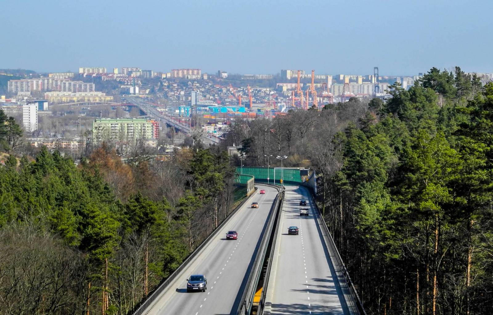
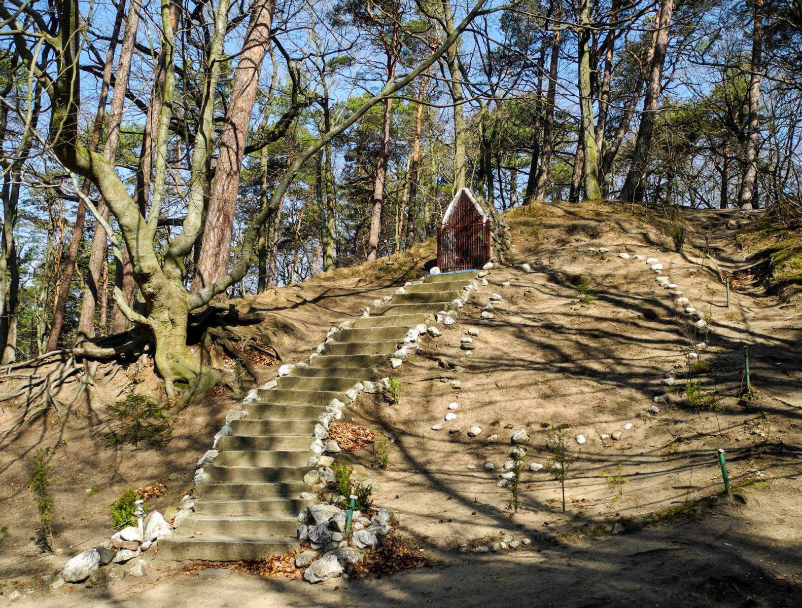
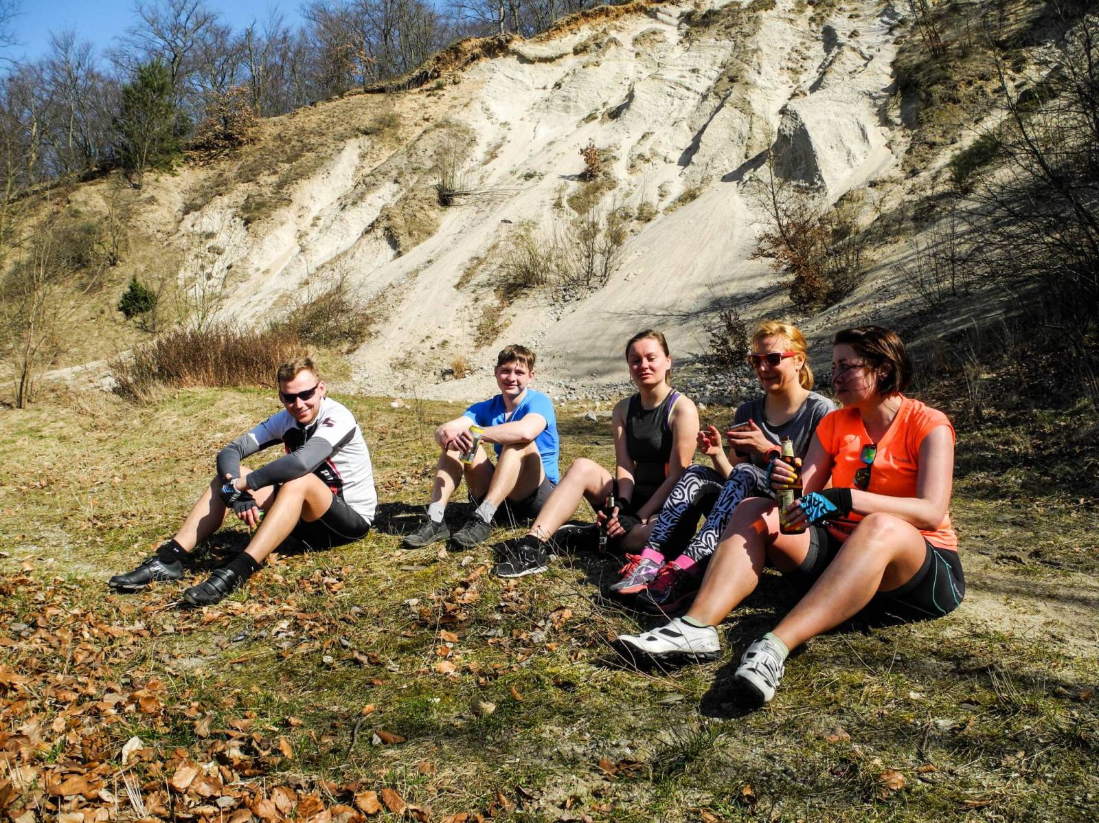
Kashubian Lake District is a region in nothern Poland, largely populated by Kashubians, from which the name of the region originates. In this characteristic post-glacial landscape with hills rising up to 656 feet above sea level, there are almost 250 lakes. At the same time, it is also one of the largest forest areas in Poland. All the hiking and walking routes, tourist attractions, fortifications and lighthouses are marked on the map.

Central Kashubia
MAPA TURYSTYCZNA W APLIKACJI TRASEO
Central Kashubia

Kashubia is an area in eastern Pomerania, a region of north-western Poland. In this characteristic post-glacial landscape with hills rising up to 656 feet above sea level, there are almost 250 lakes. At the same time, it is also one of the largest forest areas in Poland. Located west of Gdańsk and the mouth of the Vistula river, it is inhabited by members of the Kashubian ethnic group. The map depicts the middle part of the region, the Tuchola Forest and part of the Tricity Landscape Park near Gdańsk.

Pomorskie. Zamki i pałace
MAPA TURYSTYCZNA W APLIKACJI TRASEO
Pomorskie. Zamki i pałace

Mapa województwa pomorskiego na której zaznaczono za pomocą ilustracji zamki, dwory i pałace w województwie pomorskim. Mapa zawiera aktualną sieć dróg. Łącznie uwzględniono 121 miejsc wartych odwiedzenia.

Miejscowości na trasie