


CHARAKTERYSTYKA TRASY

Komentarze
NA TEJ TRASIE PRZYDA CI SIĘ MAPA Z NASZEJ APLIKACJI
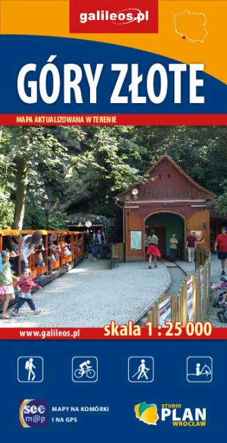
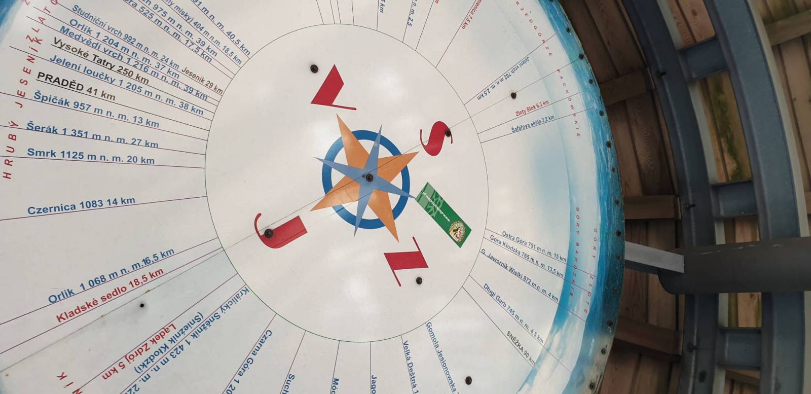
Szczegółowa mapa turystyczna Gór Złotych z uwzględnieniem atrakcji, zabytków, noclegów, gastronomii oraz innych miejsc przydatnych turyście. Zawiera wszystkie znakowane szlaki turystyczne piesze, rowerowe, ścieżki dydaktyczne wraz z kilometrażem. Obejmuje swym zasięgiem pasmo Gór Złotych oraz takie miejscowości jak Paczków, Javornik, Złoty Stok, Lądek Zdrój, Stronie Śląskie.
Rok wydania: 2018
The Golden Mountains are a mountain range in the Eastern Sudetes, spreading over the Polish-Czech border. Map range: Paczków to the north (Poland), Jeseník to the south (Czech Republic), Oldrzychowice Kłodzkie to the west (Poland) and Jarnołtów to the east (Poland). Tourist attractions, as well as cycling and walking trails are marked on the map.
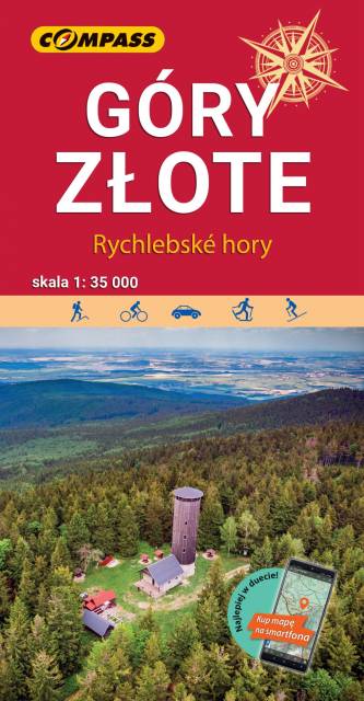
The Golden Mountains are a mountain range in the Eastern Sudetes, spreading over the Polish-Czech border. The map range: Złoty Stok and Paczków to the north, Trzebieszowice to the west, Jesenik to the south and Sławnowice to the east. Tourist attractions, as well as cycling and walking trails are marked on the map.
Update: 2017
The map covers the Śnieżnik Mountains and some other mountains ranges in the Eastern Sudetes, spreading Polish-Czech border: Bialskie Mountains, Golden Mountains, Krowiarki. Tourist attractions, as well as cycling, walking skiing and horse trails are marked on the map. Most interesting places are highlighted with a yellow frame.
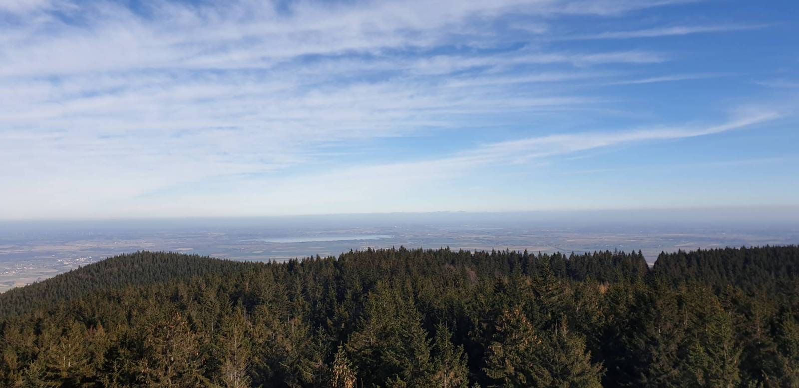
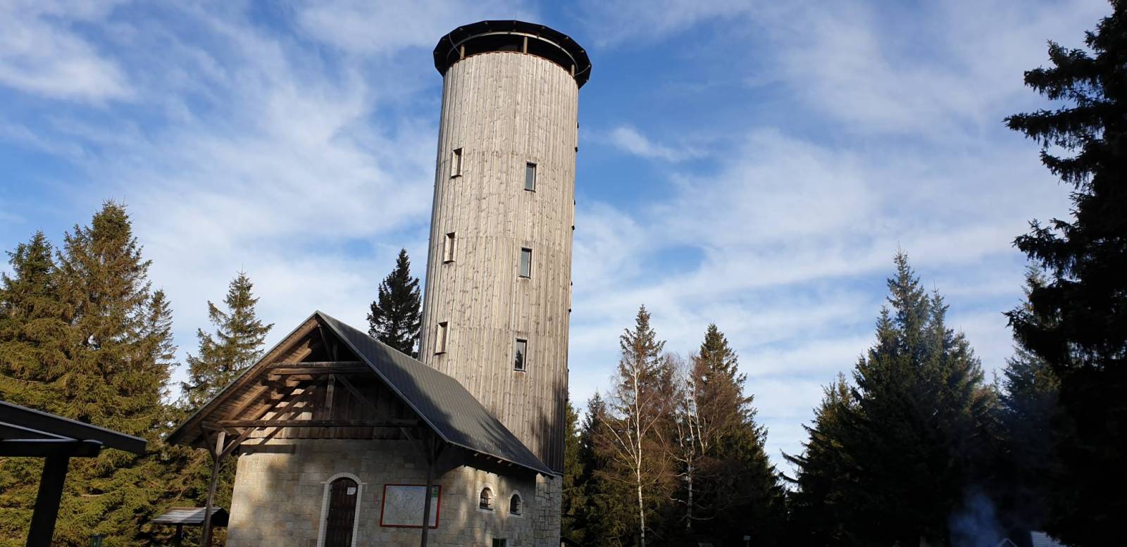
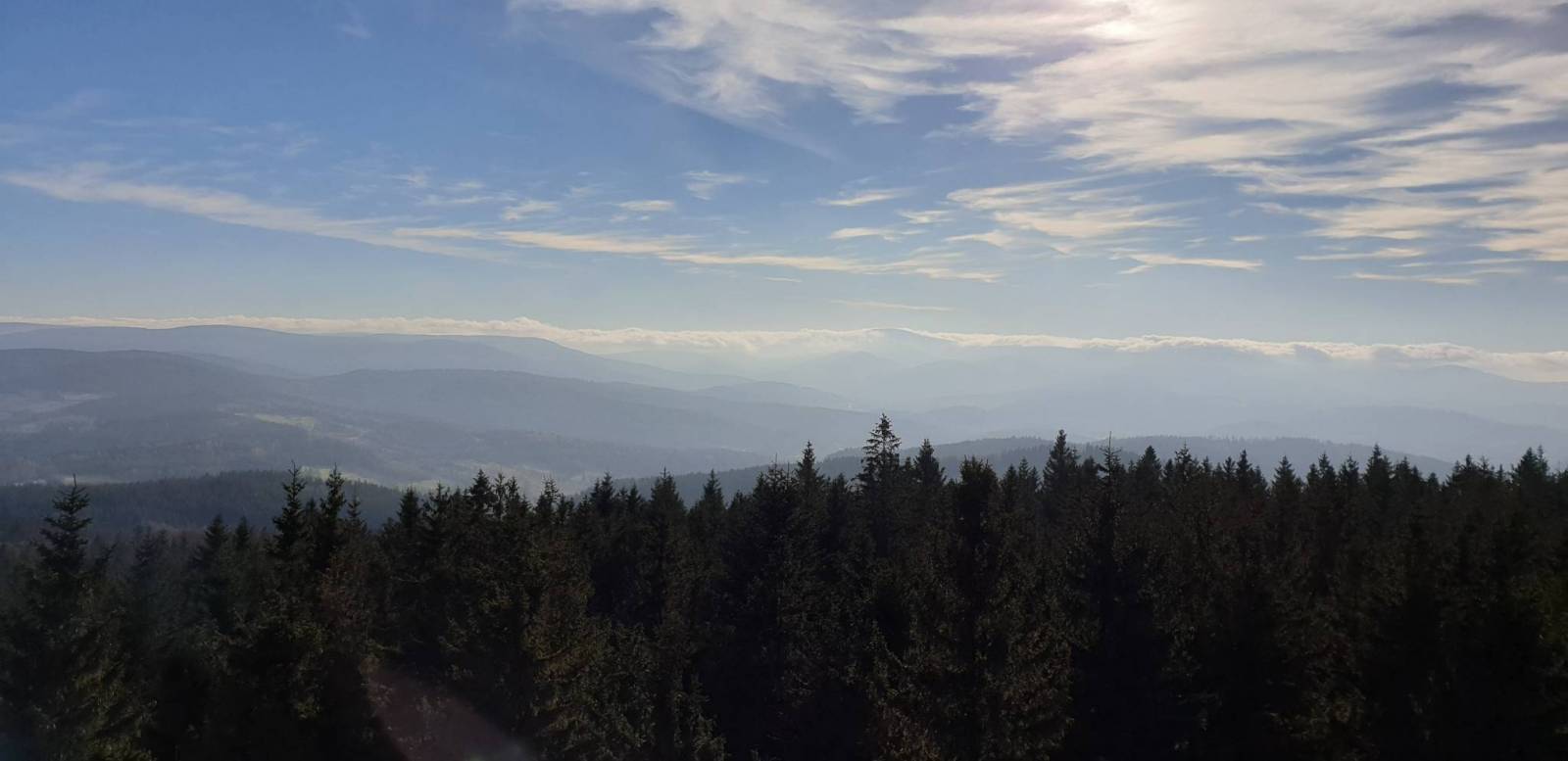
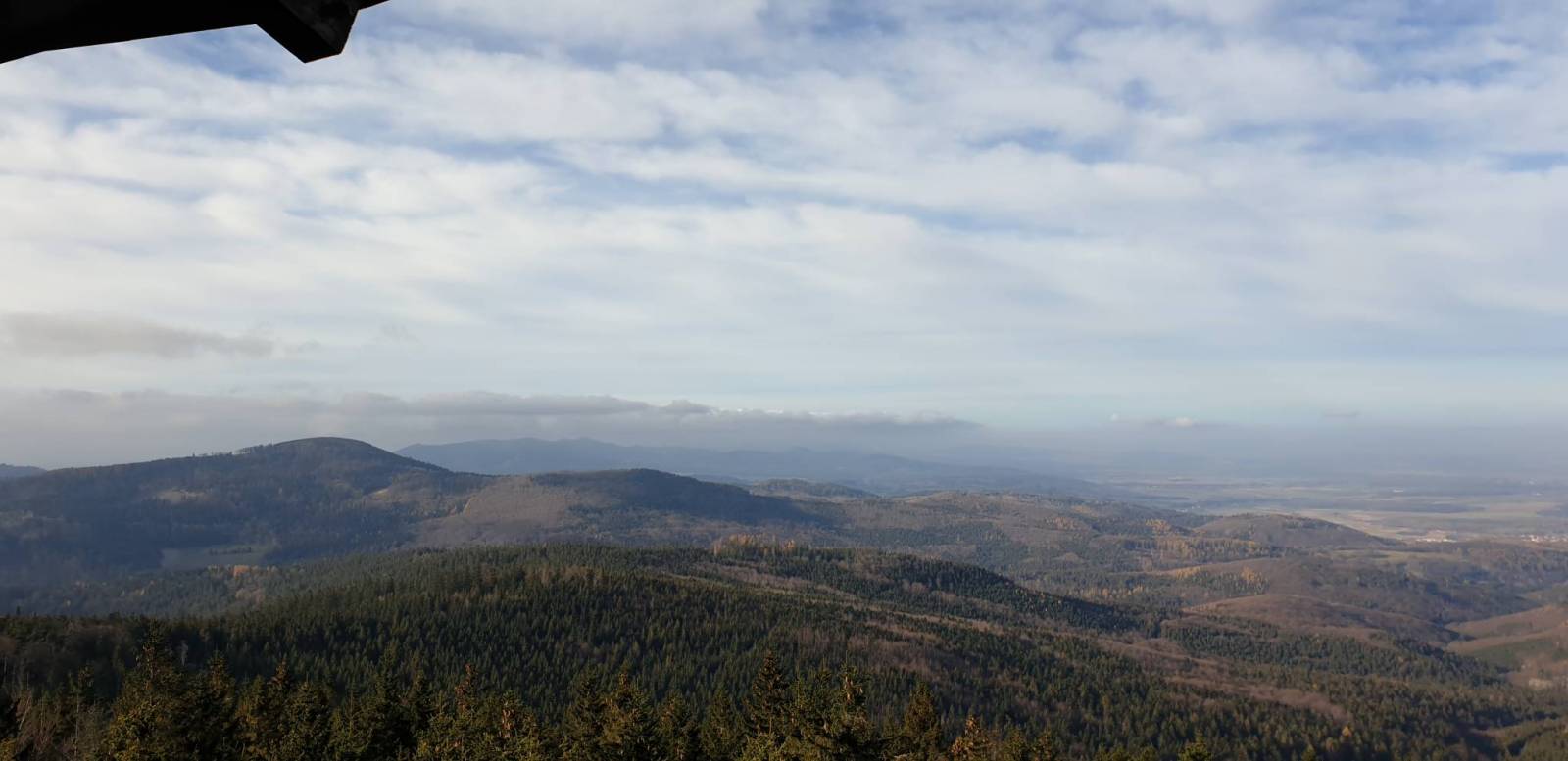
High Ash Mountains is a mountain range of Eastern Sudetes in northern Moravia and Czech Silesia. It is the second highest mountain range in the Czech Republic. Its best known natural sights include Praděd, its highest mountain, the powerful pumped storage plant Dlouhé stráně, the natural reserve Rejvíz, with moss lakes, the town of Jeseník – Priessnitz spa, and the Devil Stones (Čertovy kameny). The Golden Mountains are one of the longest mountains ranges in Sudetes. The most popular town here is Złoty Stok, where the ancient mine of gold can be visited.
The map presents the region of Kłodzko Land (Ziemia Kłodzka) in the Sudety mountains, western Poland. It consists of the Kłodzko Valley and the surrounding Sudety mountains. Map range: Złoty Stok and Javornik to the east, Kudowa Zdrój and the pass of Stołowe Mountains to the west, Ząbkowice Ślaskie to the north and Kraliky town to the south.