category-icon

Wycieczka do Marczowa

59 km
5 h 13 min
1 km
Jelenia Góra

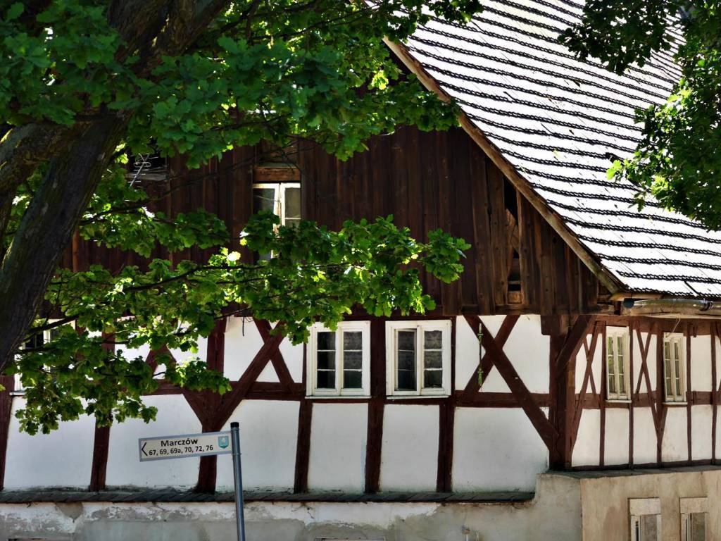
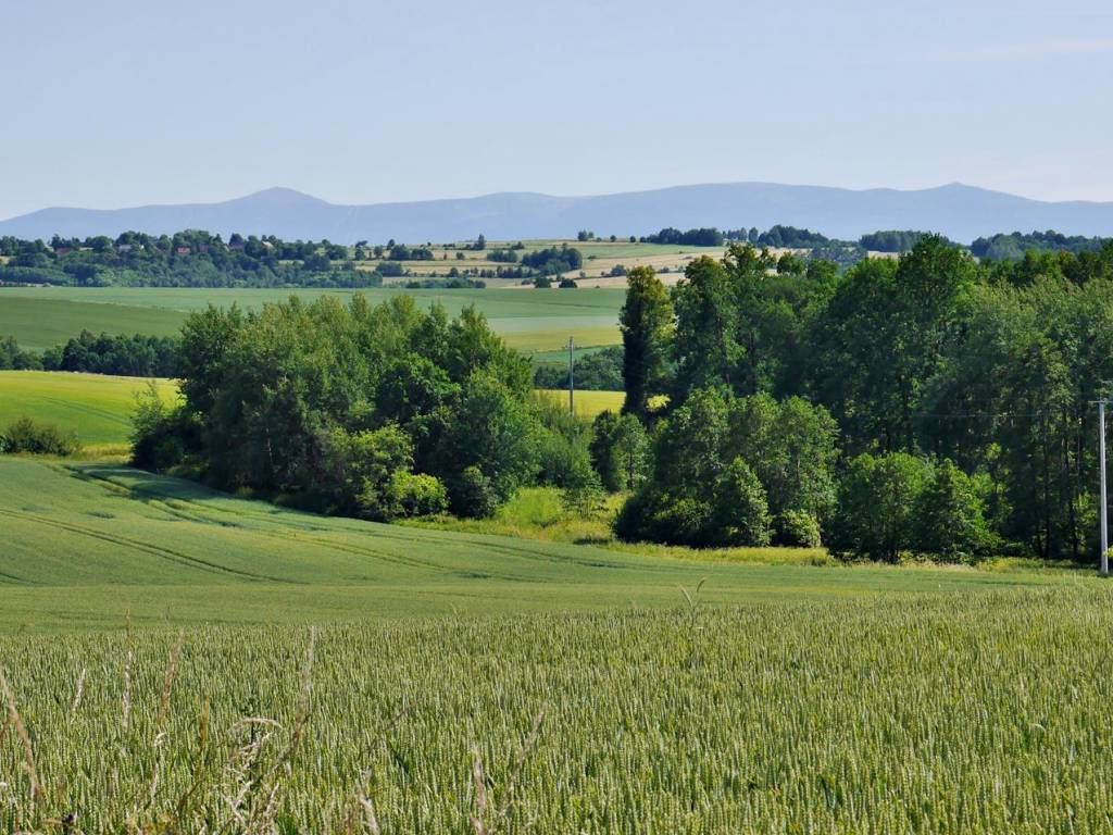
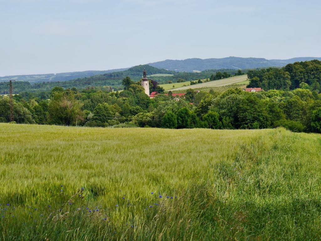
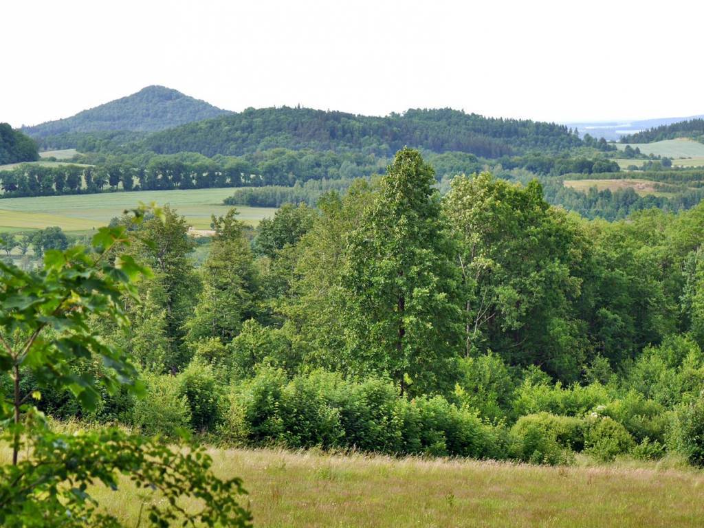
CHARAKTERYSTYKA TRASY

2017-06-21
Jelenia Góra
category-icon
59 km
1053 m
1086 m
Średni
5 h 13 min
3.7/6
Trasa: Jelenia Góra - Siedlęcin - Strzyżowiec - Nielestno - Wleń - Łupki - Marczów - Przeździedza - Bystrzyca - Bełczyna - Rząśnik - Janówek - Czernica - Płoszczynka - Jeżów Sudecki - Jelenia Góra.

Komentarze

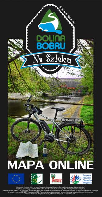
NA TEJ TRASIE PRZYDA CI SIĘ MAPA Z NASZEJ APLIKACJI

Valley of Palaces and Gardens
MAPA TURYSTYCZNA W APLIKACJI TRASEO
Valley of Palaces and Gardens

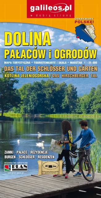
The Valley of Palaces and Gardens is a very detailed tourist map covering the area of Jeleniogórska Valley and a part of Rudawy Janowickie and Kaczawskie Mountains. The map indicates the walking time on individual tourist trails. Year of publication 2019

Dolina Bobru
MAPA TURYSTYCZNA W APLIKACJI TRASEO
Dolina Bobru

Mapa Doliny Bobru zasięgiem obejmująca obszar od Jeleniej Góry do Bolesławca. Na mapie zaznaczono szlaki turystyczne piesze i rowerowe oraz ważniejsze atrakcje turystyczne. 

Jizera Mountains
MAPA TURYSTYCZNA W APLIKACJI TRASEO
Jizera Mountains

Jizera Mountains are part of the Western Sudetes on the border between the Czech Republic and Poland. The map range: Liberec to the west (Czech Republic), Gryfów Śląski to the north, Dolina Bobru Landscape Park to the east. Szklarska Poręba, Jakuszyce and Harrachov resorts are also on the map.

Ziemia Kłodzka - by bike
MAPA TURYSTYCZNA W APLIKACJI TRASEO
Ziemia Kłodzka - by bike

Map of bicycle routes in Ziemia Kłodzka. The most important natural and tourist attractions as well as practical information are marked here. Year of publication 2020

Dolina Bobru
MAPA TURYSTYCZNA W APLIKACJI TRASEO
Dolina Bobru

Mapa Doliny Bobru, zaktualizowana w ternie. Obejmuje obszar od Jeleniej Góry na południu do Bolesławca na północy. Na mapie Doliny zaznaczono szlaki turystyczne piesze i rowerowe oraz najważniejsze atrakcje turystyczne. Rok wydania 2021

Kaczawskie Mountains and Kaczawskie Piedmont
MAPA TURYSTYCZNA W APLIKACJI TRASEO
Kaczawskie Mountains and Kaczawskie Piedmont

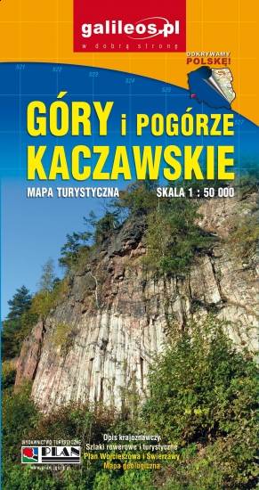
Góry Kaczawskie are a mountain range in the Western Sudetes in Poland, in the Lower Silesian Voivodeship. The highest peak is Skopiec (724 m). Map range: Legnica to the north and Jelenia Góra to the south. It depicts also area of the Dolina Bobru Landscape Park and the Chełmy Landscape Park. Tourist attractions, as well as cycling and walking trails are marked on the map.

Miejscowości na trasie