

JurekNa Traseo od stycznia 2014
CHARAKTERYSTYKA TRASY
2017-08-02
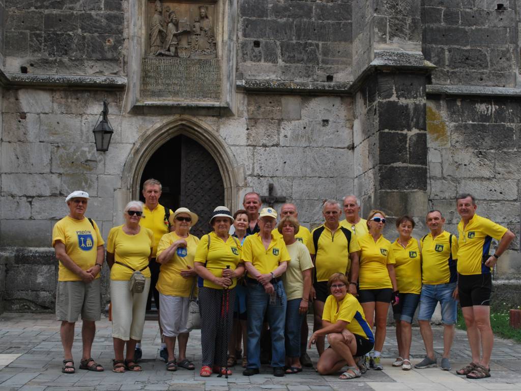
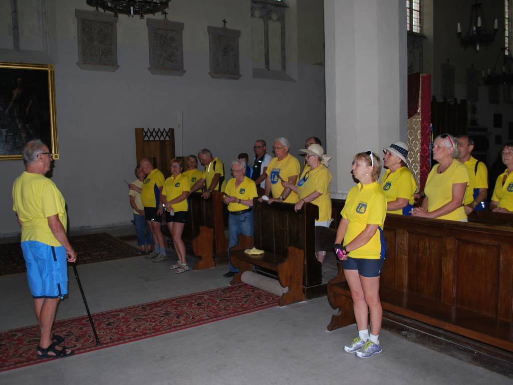
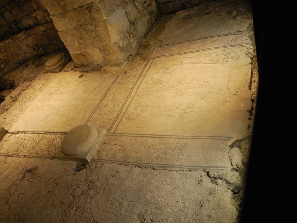
Wiślica

43 km
936 m
882 m
Łatwy
2.5/6
Komentarze
NA TEJ TRASIE PRZYDA CI SIĘ MAPA Z NASZEJ APLIKACJI
MAPA TURYSTYCZNA W APLIKACJI TRASEO
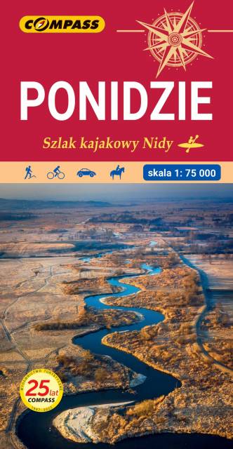
Ponidzie
The map depicts a region in the Świętokrzyskie Voivodeship, along the lower and middle Nida river. The valley is marked by numerous meadows and pastures, and its main urban centers are ancient Lesser Poland towns of Pinczow, Wislica and Nowy Korczyn. The map range: Chęciny to the north, Proszowice to the south, Jędrzejów to the west nad Staszów to the east. The map presents also Chańcza artificial lake, which is a perfect place for water sports and recreation.