
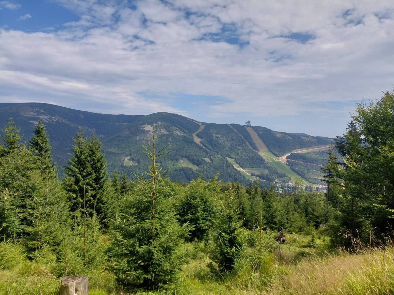


CHARAKTERYSTYKA TRASY

Komentarze
NA TEJ TRASIE PRZYDA CI SIĘ MAPA Z NASZEJ APLIKACJI
Mapa obejmuje obszar Masywu Śnieżnika. Na mapie zaznaczono informacje przydatne turyście, jak zabytki, noclegi, granice obszarów chronionych. W miejscowościach opisano nazwy głównych ulic. Podano aktualne przebiegi szlaków pieszych i rowerowych, łącznie z kilometrażem. Rok wydania 2021
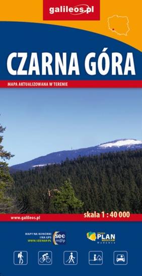
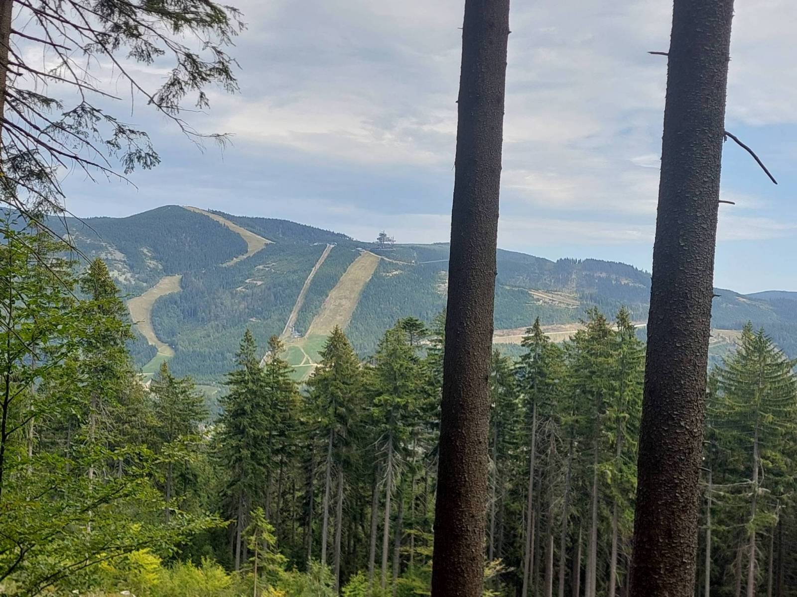
Mapa Czarnej Góry i okolic. Zakres mapy ograniczony jest miejscowościami: Stronie Śląskie, Bystrzyca Kłodzka, Międzylesie i Stare Miasto w Czechach. Znajduje się tu popularny ośrodek narciarski. Na mapie zaznaczono szlaki piesze i rowerowe (z długościami), konne, a także ścieżki przyronicze. Jest oznaczona baza noclegowa i gastronomiczna.
Mapa została wydana jdunie w formie cyfrowej – brak dostępnej wersji papierowej.
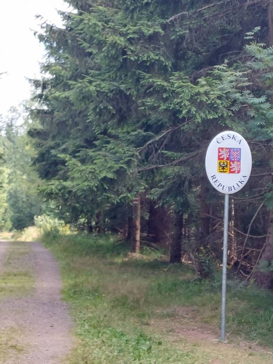
The map presents one of the highest mountains range in Sudetes, on the Polish-Czech border. It also covers part of Golden Mountains and the town of Stronie Śląskie. The region is perfect not only for hikers or cyclists, but also for skiers, horse riders, rocky climbers and fishermen. The map range: Bystrzyca Kłodzka to the north-west, Międzylesie to the south-west, Jindrichov to the south-east.
Update: 2017
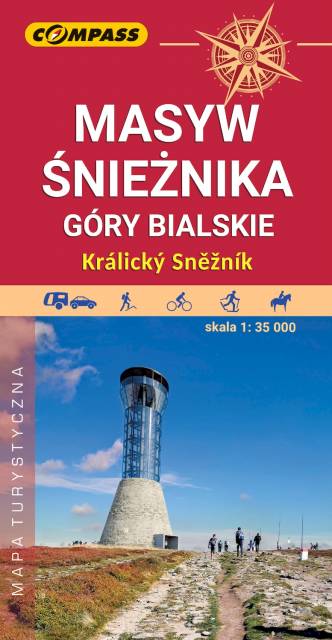
The map covers the Śnieżnik Mountains and some other mountains ranges in the Eastern Sudetes, spreading Polish-Czech border: Bialskie Mountains, Golden Mountains, Krowiarki. Tourist attractions, as well as cycling, walking skiing and horse trails are marked on the map. Most interesting places are highlighted with a yellow frame.
High Ash Mountains is a mountain range of Eastern Sudetes in northern Moravia and Czech Silesia. It is the second highest mountain range in the Czech Republic. Its best known natural sights include Praděd, its highest mountain, the powerful pumped storage plant Dlouhé stráně, the natural reserve Rejvíz, with moss lakes, the town of Jeseník – Priessnitz spa, and the Devil Stones (Čertovy kameny). The Golden Mountains are one of the longest mountains ranges in Sudetes. The most popular town here is Złoty Stok, where the ancient mine of gold can be visited.
The map presents the region of Kłodzko Land (Ziemia Kłodzka) in the Sudety mountains, western Poland. It consists of the Kłodzko Valley and the surrounding Sudety mountains. Map range: Złoty Stok and Javornik to the east, Kudowa Zdrój and the pass of Stołowe Mountains to the west, Ząbkowice Ślaskie to the north and Kraliky town to the south.