

CHARAKTERYSTYKA TRASY

Komentarze
NA TEJ TRASIE PRZYDA CI SIĘ MAPA Z NASZEJ APLIKACJI
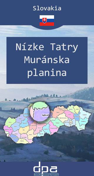
The Low Tatras is a mountain range of the Inner Western Carpathians in central Slovakia. It is located south of the Tatras proper, from which it is separated by the valleys of the Váh and Poprad rivers. The valley formed by the Hron River is situated south of the Low Tatras range. The ridge runs west-eastwards and is about 80 km long. The highest peaks of the Low Tatras are located in its western part. Ďumbier is the highest mountain at 2,042 m. Its neighbour Chopok (2,024 m) is accessible by a chairlift, and it is the most visited place in the Low Tatras. The map also presents western part of Muránska planina region.
Published: 2016/2017
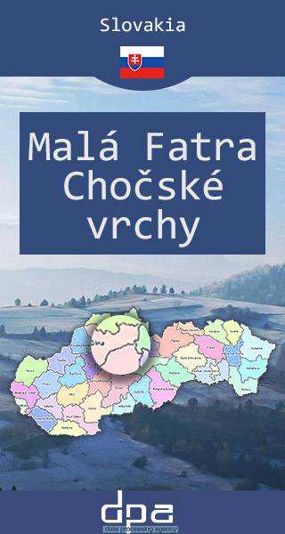
Malá Fatra is a mountain range in the north-west of Central Slovakia. The highest peak is Veľký Kriváň at 1,709 m. With many hiking trails and ski resorts the Malá Fatra range is one of the most popular tourist destination in Slovakia. The Dierový potok stream created a complex of canyons, waterfalls and cascades in that area. Šútovo Waterfall is the highest waterfall in Malá Fatra and has a vertical drop of 38 m. Popular centres for winter sports are Vrátna dolina and Štefanová. Other tourism centres are the villages of Terchová, where the Slovak national hero Juraj Jánošík was born and Zázrivá, where the traditional Slovak sheep cheese delicacy known as korbáčiky is made. One of the most popular ski areas in Slovakia outside the Tatras is the Martinské hole resort situated between the Veľká lúka Mountain and the town of Martin. The map also presents The Choč Mountains with the highest peak Veľký Choč at 1 611 metres above sea level. Veľký Choč is well-known because of a beautiful panoramic view spreading from the peak. Year: 2016 / 217.
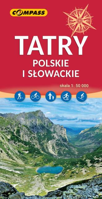
The highest mountains in Poland and Slovakia are the only part of the Carpathians that present extremely Alpine characteristics. It is one of the most important tourist regions in Poland and Slovakia, which is the destination of thousands of tourists each year. The Tatra National Park is a protected area entered in UNESCO's World Network of Biosphere Reserves. The maps depicts three internal mountain chains: High Tatras, Western Tatras and Belianske Tatras. All the hiking routes, tourist attractions and ski resorts are marked on the map.
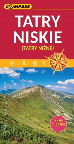
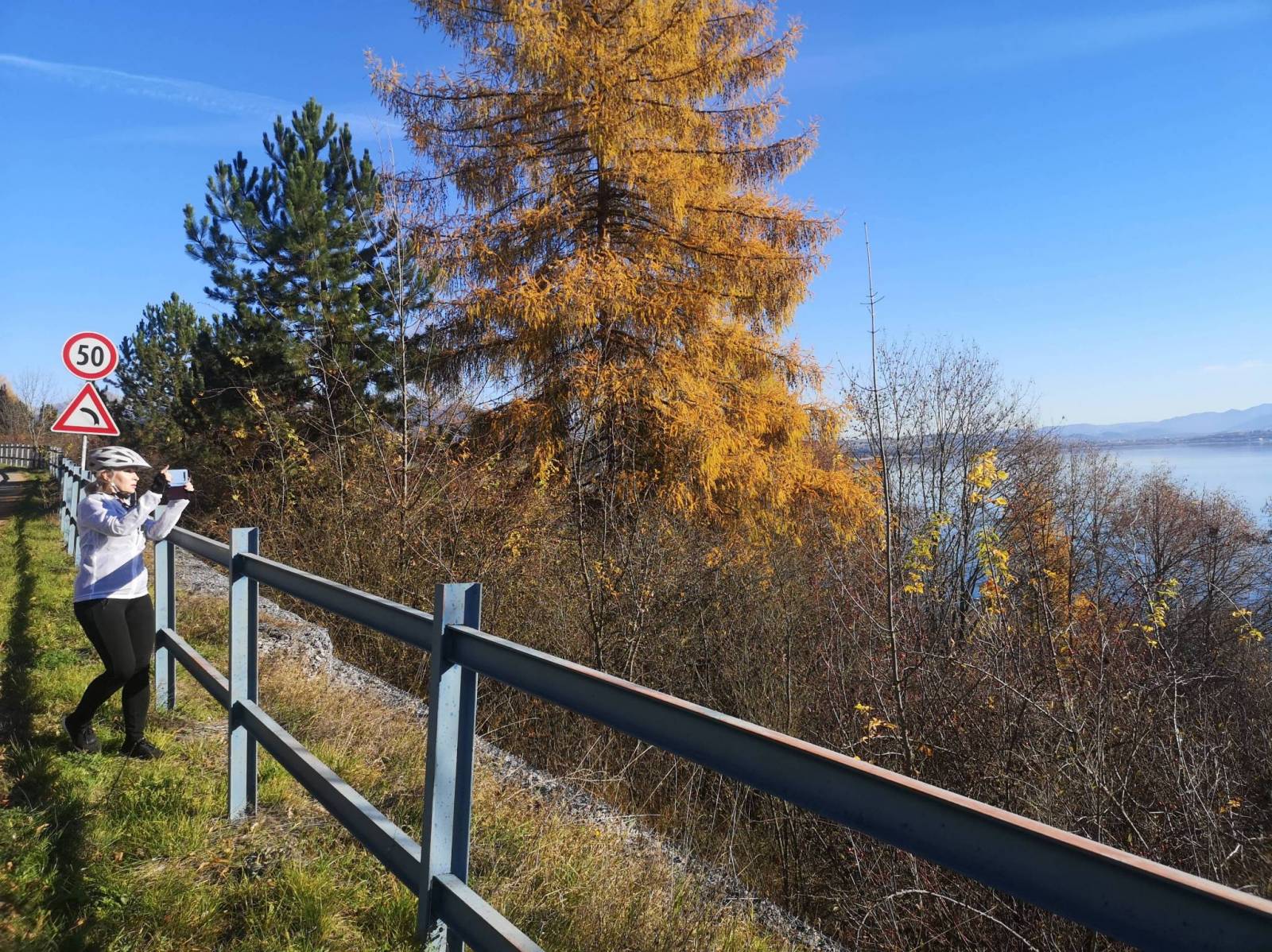
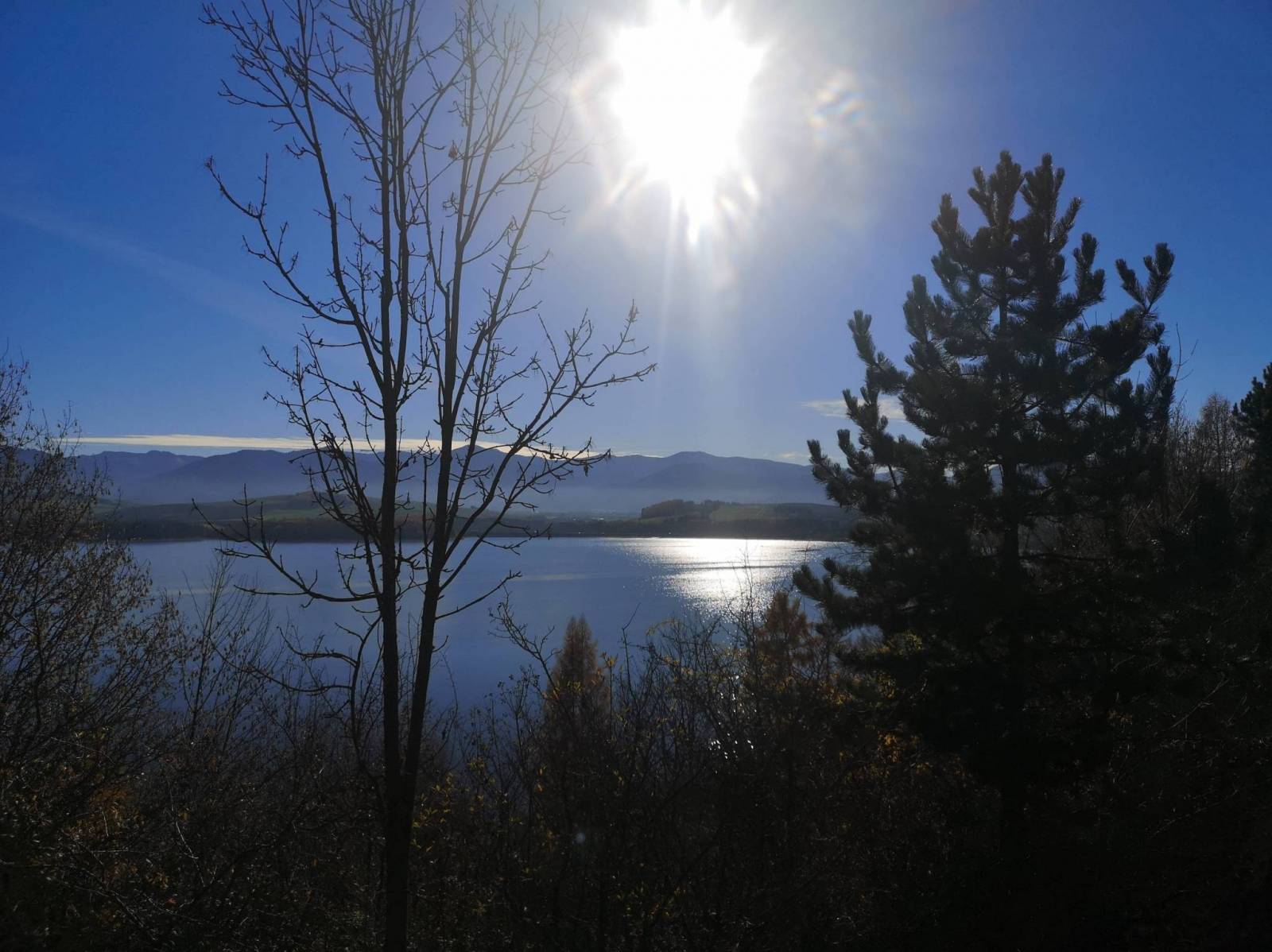
Nízke Tatry (The Low Tatras) is a mountain range of the Western Carpathians in central Slovakia. It is protected by the Low Tatras National Park. The region is a popular tourist destination, with many ski resorts, hiking and cross-country skiing trails.
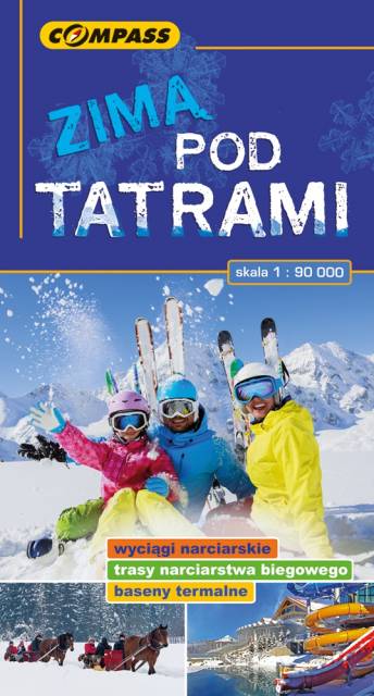
The map covers the region of the Polish and Slovak Tatra Mountains, presenting detailed information about ski resorts, back-country ski trails, ice-skaing and sleighing centers, children friendly places and thermal resorts. Hiking routes are also marked on the map.
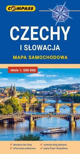
Mapa samochodowa Słowacji i Czech zawiera: aktualną sieć autostrad, dróg ekspresowych i głównych, z podziałem na dwupasmowe i jednopasmowe; drogi w budowie, numerację dróg oraz kilometraż. Na mapie zaznaczono: przejścia graniczne, Autostradowe Miejsca Obsługi Podróżnych, wybrane stacje benzynowe, parkingi i promy wodne, porty lotnicze, obszary leśne, parki narodowe, uzdrowiska, większe ośrodki narciarskie, obiekty na Liście UNESCO. Legenda w językach: polskim, angielskim, czeskim i słowackim.
Mapa dodatkowo zawiera:
- schemat dróg płatnych na Słowacji i w Czechach;
- wykaz węzłów na autostradach i drogach ekspresowych na Słowacji;
- plany Pragi i Bratysławy;
- schemat metra w Pradze;
- informacje praktyczne dla podróżujących samochodem po Słowacji i Czechach (m.in.: wybrane przepisy drogowe, wymagane dokumenty, obowiązkowe wyposażenie samochodu, rodzaje winiet).
Mapę offline można zakupić w aplikacji Traseo na urządzenia mobilne. Rok wydania 2020