

CHARAKTERYSTYKA TRASY

Komentarze
NA TEJ TRASIE PRZYDA CI SIĘ MAPA Z NASZEJ APLIKACJI
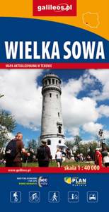
Wielka Sowa to najbadziej popularny i najliczniej odwiedzany szczyt w Górach Sowich, jednocześnie jest to również najwyższy szczyt tego pasma Sudetów - 1015 m. n.p.m. Na szczycie Wielkiej Sowy odbywają się różne imprezy, zloty czy pikniki. Mapa obejmuje teren ograniczony miejscowościami: Walim, Pieszyce, Dzierżoniów, Jugów. Zaznaczono na niej aktualny przebieg szlaków turystycznych pieszych i rowerowych z ich długościami. Na mapie naniesiono ośrodki noclegowe i restauracje. Siatka geograficzna zgodna z GPS oparta na układzie WGS-84.
Mapa została przygotowana tylko dla urządzeń cyfrowych, nie ma odpowiednika w wersji papierowej.
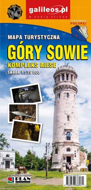
Mapa Gór Sowich Wydawnictwa Galileos z aktualnym przebiegiem szlaków turystycznych, zarówno pieszych jak i rowerowych. Wraz z czasem przejść. Zasięg mapy na północy wyznacza Świdnica, na wschodzie Bielawa, na południu Srebrna Góra i Nowa Ruda, na zachodzie Jedlina Zdrój. Rok wydania 2020

The Owl Mountains (Polish: Góy Sowie, Czech: Soví hory) are a mountain range in the Central Sudetes in south-western Poland. They run between the historic Lower Silesian region and Kłodzko Land. The highest peaks are Wielka Sowa (1,014 m) and Kalenica (964 m) with its viewing tower. The range includes a protected area called The Owl Mountains Landscape Park. The mountains are covered by a network of tourist trails, marked on the map.
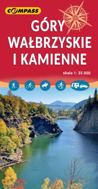
The Wałbrzyskie Mountains and The Stone Mountains are mountain ranges in the Central Sudetes on the border of the Czech Republic and Poland. The map also presents Adršpašskoteplické skály in Czech Republic, which is famous tourist destination.
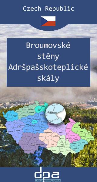
The Broumovsko Region and Adršpach-Teplice Rocks are an unusual set of sandstone formations in northeastern Bohemia, Czech Republic. The Adršpach-Teplice Rocks have been protected as a national nature reserve since 1933, and since 1991 the whole adjacent region of Broumovsko has enjoyed the status of protected landscape area. Tourists may visit the rocks via a number of marked trails. The area is a popular destination for rock climbers. In recent years, it has become a focus for the high-risk climbing-related sport of rock jumping. The area is also one of the largest permanent breeding sites of peregrine falcon in Europe, as they are protected here under federal law. Some areas have been designated off limits to climbers and hikers to make sure the birds aren't disturbed.
Update: 2016/2017
