
CHARAKTERYSTYKA TRASY

Komentarze
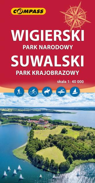
NA TEJ TRASIE PRZYDA CI SIĘ MAPA Z NASZEJ APLIKACJI
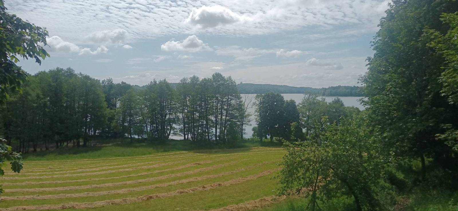
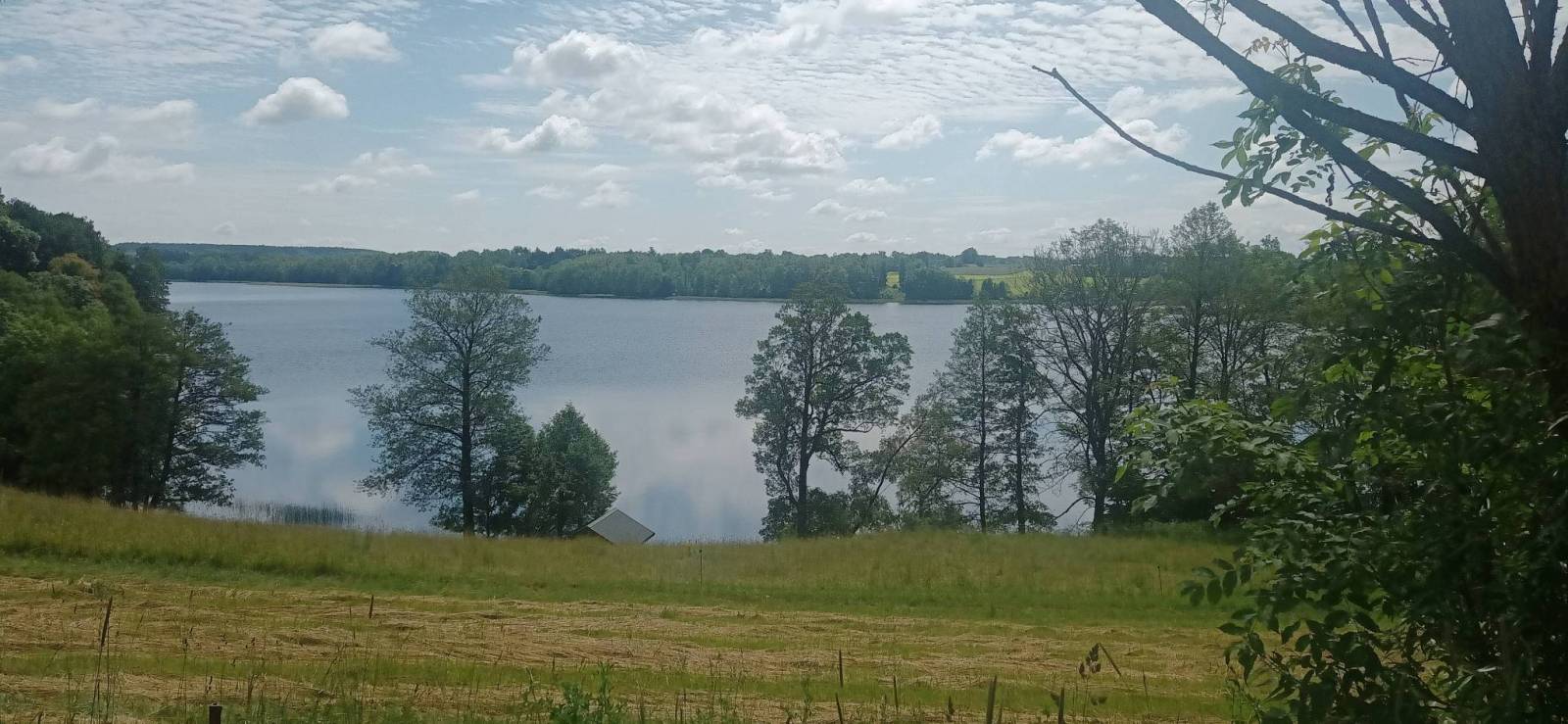
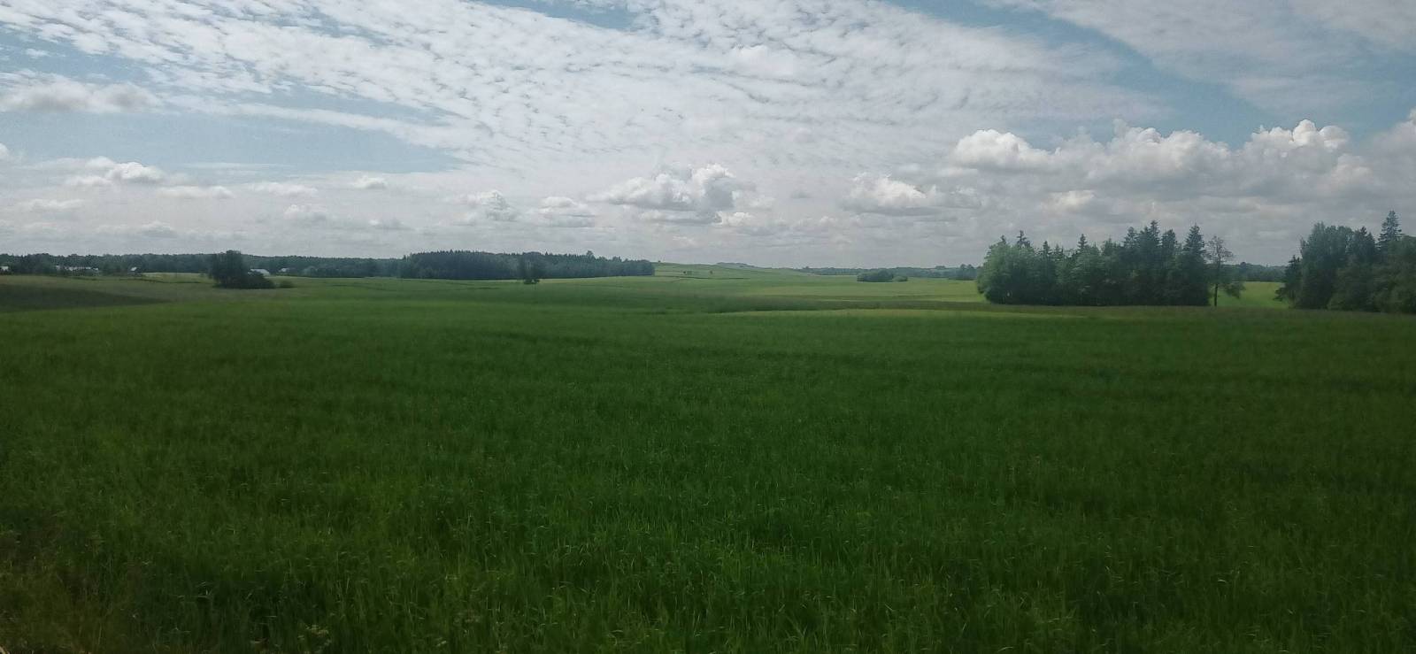
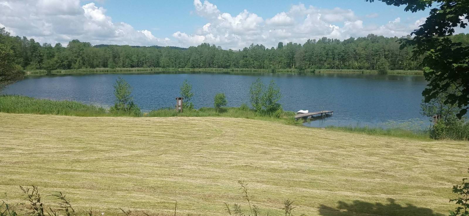
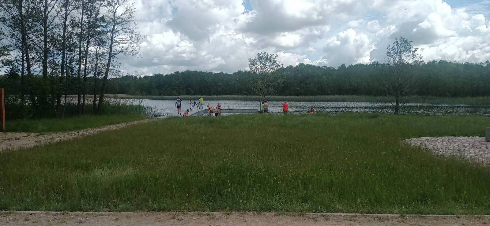
Wigry National Park is a National Park in Podlaskie Voivodeship in north-eastern Poland. It covers parts of the Masurian Lake District and Augustów Primeval Forest (Puszcza Augustowska). It is named after lake Wigry, the largest of the Park's many lakes. The Park’s landscape was to a large extent shaped by a glacier which covered this region around 12,000 years ago. Southern part is flat and is mainly covered with a forest, which is part of the broader Puszcza Augustowska.
The Park is famous for its numerous lakes.
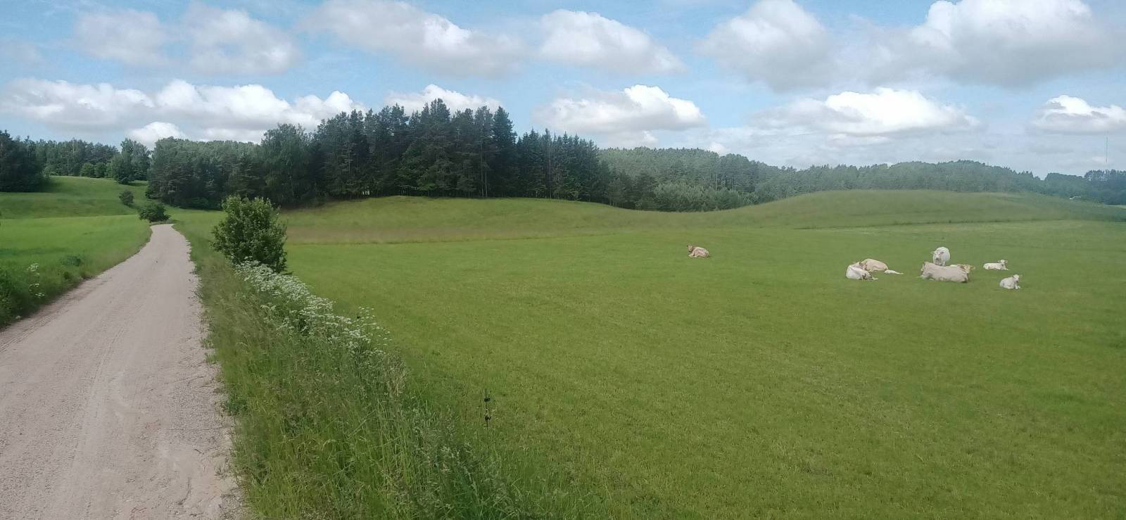
Suwałki Landscape Park is a protected area in north-eastern Poland in Suwałki County (Gmina Jeleniewo, Gmina Przerośl, Gmina Rutka-Tartak, Gmina Wiżajny). Within the Landscape Park are three nature reserves.
(wikipedia.org)
The map range: Wiżajny to the north, Skajzgiry to the west, Blizno lake to the south and Pogorzelec to the east.
Update: 2017
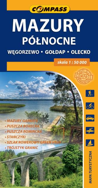
The map covers the borderland of Masuria spreading from Węgorzewo to the contact point of three borders: Polish, Lithuanian and Russian, and the part of Hunchbacked Masuria spreadind below Olecko. The map range: Polish and Russian border to the north, Węgorzewo to the west, Kruklanki and Gąski to the south, Bakałarzewo to the east. There are all well-known tourist attractions marked on the map, e.g. Puszcza Borecka (Borki's Forest), Puszcza Romincka (Romincka Forest), Stańczyki, where two large railway viaducts can be seen, and Gołdap health resort. Cyclists will find on the map the detailed track of Green Velo - the longest cycling route in Poland.