
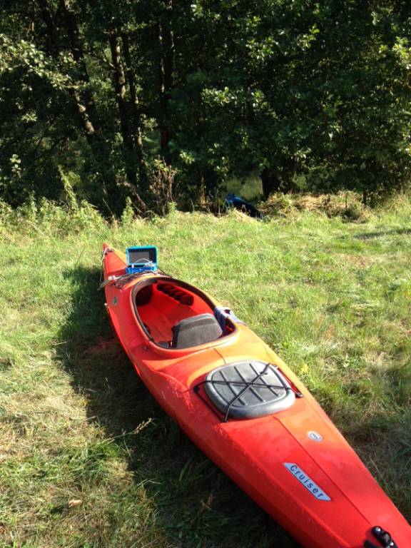
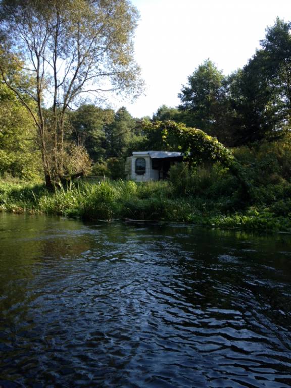
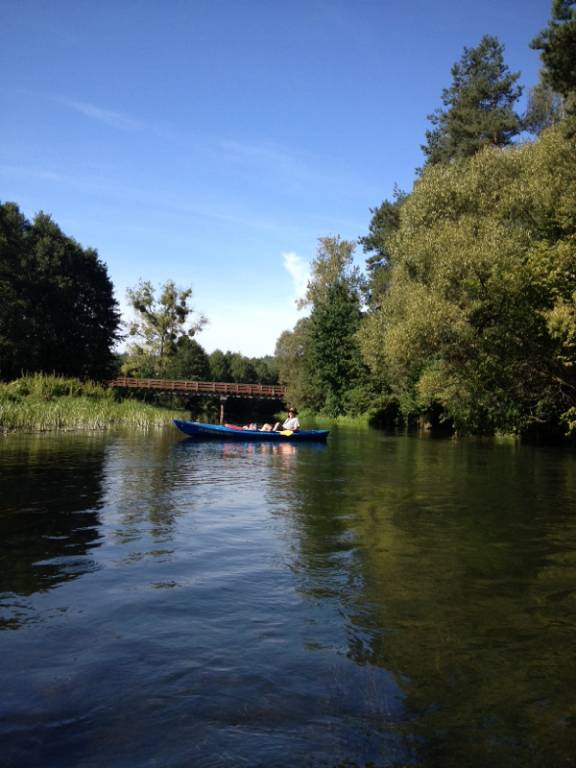

CHARAKTERYSTYKA TRASY

Komentarze
NA TEJ TRASIE PRZYDA CI SIĘ MAPA Z NASZEJ APLIKACJI
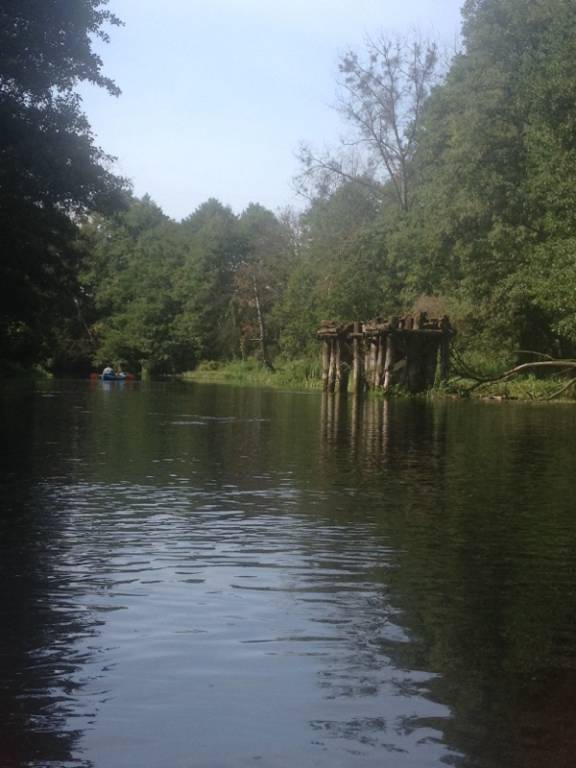
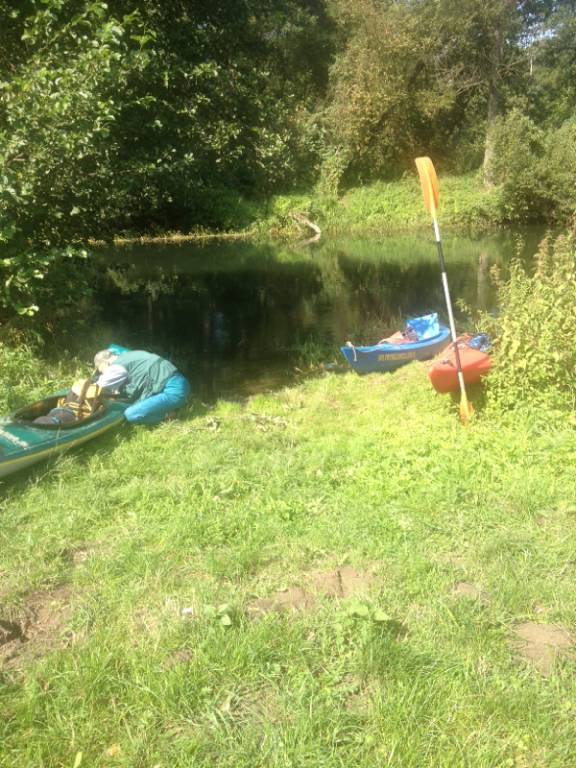
Brodnica Landscape Park (Brodnicki Park Krajobrazowy) is a protected area in north-central Poland. It is shared between two voivodeships: Kuyavian-Pomeranian Voivodeship and Warmian-Masurian Voivodeship. Within Kuyavian-Pomeranian Voivodeship. Within the Landscape Park are seven nature reserves.
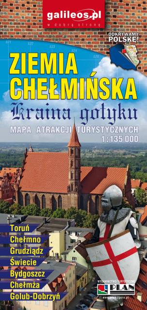
An updated map of Ziemia Chełmińska. The most important tourist attractions of the region are marked on the map as icons. The map covers Chełmno, Toruń, Chełmża, Świecie, Grudziądz, Golub-Dobrzyń and Bydgoszcz. Year of publication 2017
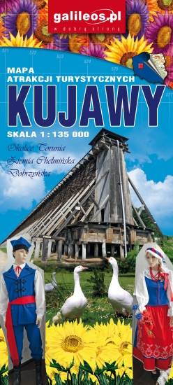
Kujawy is a historical region in north-central Poland, situated on the left bank of Vistula, east from Noteć River and Lake Gopło. The region is characterized by a rich tradition of folklore. The map is dedicated mainly for tourists with cars. Most interesting places are presented with coloured graphic symbols.