
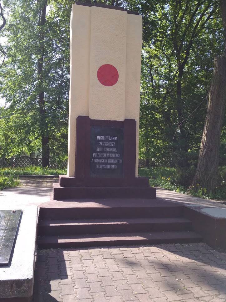
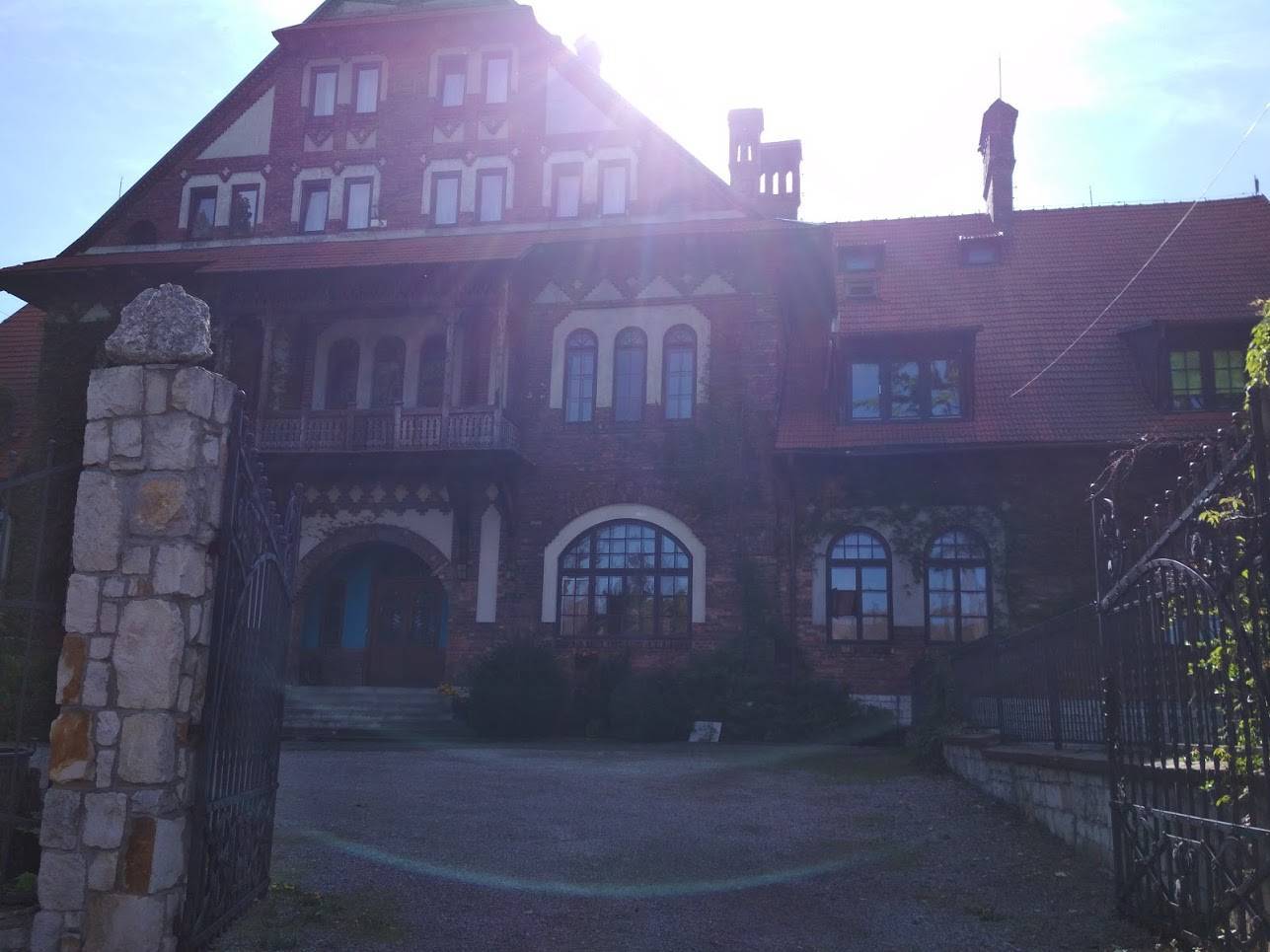

peanekNa Traseo od sierpnia 2013
CHARAKTERYSTYKA TRASY
2018-05-01
Sosnowiec

81 km
492 m
502 m
Łatwy
6 h 38 min
4.6/6
Komentarze
NA TEJ TRASIE PRZYDA CI SIĘ MAPA Z NASZEJ APLIKACJI
MAPA TURYSTYCZNA W APLIKACJI TRASEO
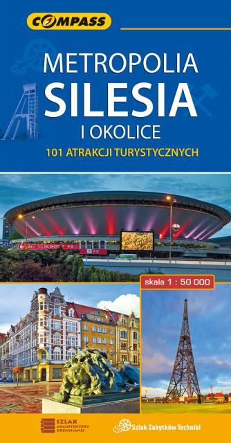
Upper Silesian Metropolitan Area
The map in detailed scale presents part of Upper Silesia - historical and geographical region situated in southern Poland. The Upper Silesian metropolitan area lies within the Upper Silesian Coal Basin. It is characterized by a rich tradition of folklore, many industrial monuments, and some green areas. Cycling, walking and didactic trails are marked on the map, as well as other interesting information, e.g. historical borders of Polnad - from 1914 and 1939. The map range: Tarnowskie Góry to the north, Tychy to the south, Gliwice to the west and Jaworzno to the east.
MAPA TURYSTYCZNA W APLIKACJI TRASEO
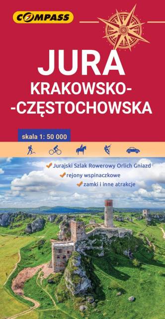
Polish Jurassic Highland
The Kraków-Częstochowa Upland (Polish Jurassic Highland) extends in south-central Poland, between the cities of Kraków, Częstochowa and Wieluń. It is a hilly landscape with Jurassic limestone rocks, cliffs, valleys and nearly 220 caves. One of the most attractive recreational terrain in Poland, Ojców National Park, belongs to the region.