


CHARAKTERYSTYKA TRASY

Komentarze
NA TEJ TRASIE PRZYDA CI SIĘ MAPA Z NASZEJ APLIKACJI
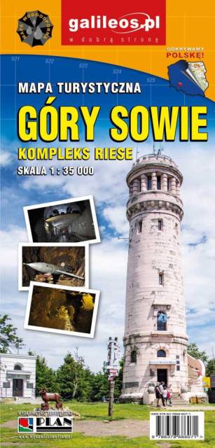
Mapa Gór Sowich Wydawnictwa Galileos z aktualnym przebiegiem szlaków turystycznych, zarówno pieszych jak i rowerowych. Wraz z czasem przejść. Zasięg mapy na północy wyznacza Świdnica, na wschodzie Bielawa, na południu Srebrna Góra i Nowa Ruda, na zachodzie Jedlina Zdrój. Rok wydania 2020

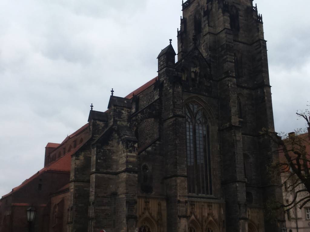
The Owl Mountains (Polish: Góy Sowie, Czech: Soví hory) are a mountain range in the Central Sudetes in south-western Poland. They run between the historic Lower Silesian region and Kłodzko Land. The highest peaks are Wielka Sowa (1,014 m) and Kalenica (964 m) with its viewing tower. The range includes a protected area called The Owl Mountains Landscape Park. The mountains are covered by a network of tourist trails, marked on the map.
The Wałbrzyskie Mountains and The Stone Mountains are mountain ranges in the Central Sudetes on the border of the Czech Republic and Poland. The map also presents Adršpašskoteplické skály in Czech Republic, which is famous tourist destination.

Map in detailed scale range: Wrocław city center to the east, Środa Śląska to the west, Słupice, Kełczyn, Oleszna and Radzików to the south, Ligota Piękna, Gosławice and Brodno to the north. A lot of information useful for tourists is marked on the map: monuments, accomodation facilities, protected areas, cycling and walking trails, as well as street names and the type of road surface.