category-icon

Skalne Miasto Adršpach i Teplickie Skały.

115 km
10 h 12 min
4.2 km
Polska, dolnośląskie, Zieleniec, Duszniki-Zdrój, Góry Bystrzyckie i Orlickie, powiat kłodzki

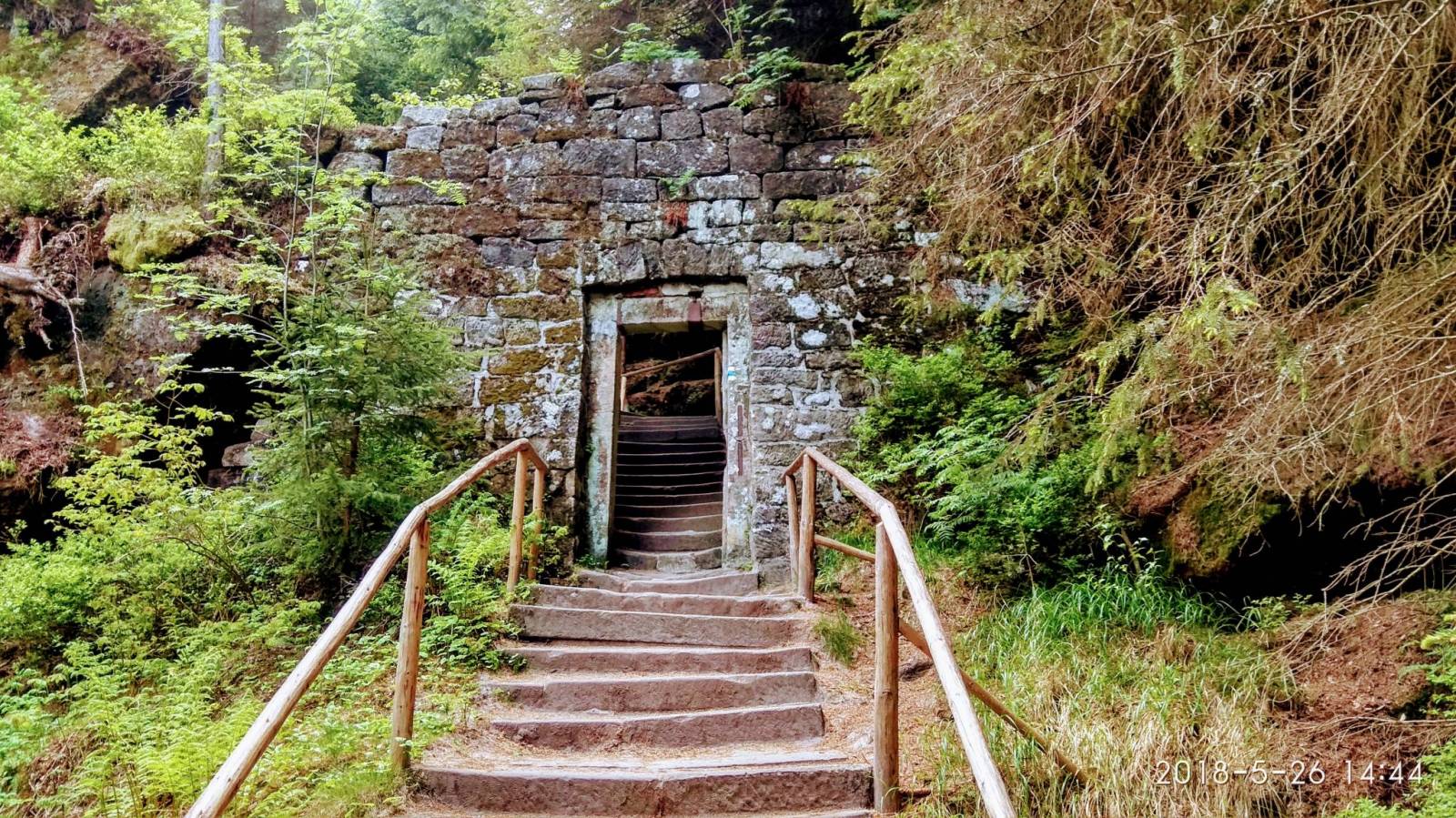
CHARAKTERYSTYKA TRASY

2018-05-26
Polska, dolnośląskie, Zieleniec, Duszniki-Zdrój, Góry Bystrzyckie i Orlickie, powiat kłodzki
category-icon
115 km
4191 m
4209 m
Średni
10 h 12 min
5.3/6
Dzień drugi wycieczki, dzisiaj zwiedzanie Skalnego Miasta Adršpach i Teplickich Skał. Wyjazd autokarem o godz. 08.30. Wpierw wstąpiliśmy do Ardspachu, jest to miejsce mniej wymagające za to widoki pojawiają się zaraz po przekroczeniu bramy wejściowej, jest piękne szmaragdowe jeziorko z rybkami, strzeliste skały, dwa wodospady oraz małe jeziorko, w skałach tych jak i Teplickich można się dopaczyć różnych ciekawych kształtów przypominające jakieś formy np., dzban, ząb, głowę. Jedynym mankamentem, to dużo turystów. Teplickie skały to zdecydowanie inne miejsce, bardziej wymagające, ale równie przepiękne. Są tam wąskie przejścia z kładkami pomiędzy ścianami skał, są miejsca gdzie panuje orzeźwiający chłód, a nawet pozostałości śniegu. Teplickie skały odwiedził sam J.W. Goethe. Do hotelu wróciliśmy nieco wcześniej, bo o godz. 17.30. Pogoda piękna. Więcej: https://www.janham.cba.pl/index.php?option=com_content&view=article&id=101:maj-2018&catid=2&Itemid=220

Komentarze

NA TEJ TRASIE PRZYDA CI SIĘ MAPA Z NASZEJ APLIKACJI

Stołowe Mountains
MAPA TURYSTYCZNA W APLIKACJI TRASEO
Stołowe Mountains

An updated tourist map of Stołowe Mountains in the scale 1:30 000. Time of walking through the trail is marked. It includes hiking, cycling and walking trails and the most important tourist and practical information. Year of publication 2021

Stołowe Mountains
MAPA TURYSTYCZNA W APLIKACJI TRASEO
Stołowe Mountains

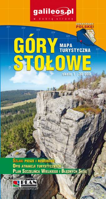
Stołowe Mountains are a mountain range situated south-east of the Krkonoše Mountains. The Polish part, with the highest peak Szczeliniec Wielki (919 m), is protected as the Stołowe Mountains National Park. Map range: Hronov to the west (Czech Republic) Duszniki-Zdrój to the south, Szalejów Górny to the east and Police to the north (Poland).

Gory Bystrzyckie i Orlickie
MAPA TURYSTYCZNA W APLIKACJI TRASEO
Gory Bystrzyckie i Orlickie
Bystrzyckie Mountains and Orlickie Mountains
MAPA TURYSTYCZNA W APLIKACJI TRASEO
Bystrzyckie Mountains and Orlickie Mountains

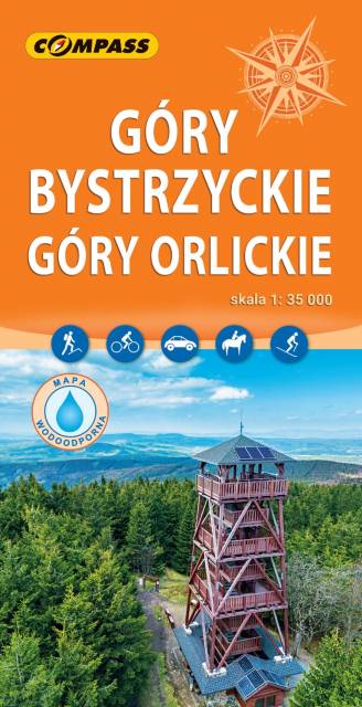
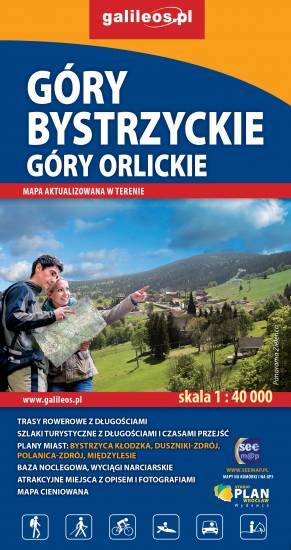
The map presents The Bystrzyckie Mountains and The Orlickie Mountains, with Polanica Zdrój and Duszniki health resorts, ski resorts in Zieleniec and Deštne. The mountain ranges are located in the Central Sudetes, spreading over Polish-Czech border. Tourist attractions, cycling and walking trails, protected areas borders, as well as other information useful for tourists (e.g. accomodation, restaurants, ski lifts) are marked on the map. The most interesting places are highlighted with a yellow frame.

Wałbrzyskie Mountains and Stone Mountains
MAPA TURYSTYCZNA W APLIKACJI TRASEO
Wałbrzyskie Mountains and Stone Mountains

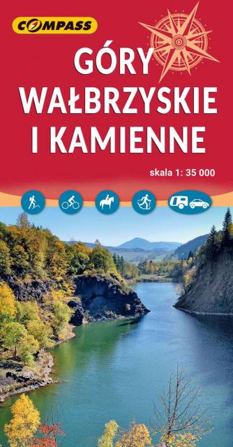
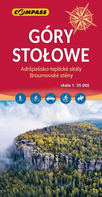
The Wałbrzyskie Mountains and The Stone Mountains are mountain ranges in the Central Sudetes on the border of the Czech Republic and Poland. The map also presents Adršpašskoteplické skály in Czech Republic, which is famous tourist destination.

Broumovsko Region, Adršpach-Teplice Rocks
MAPA TURYSTYCZNA W APLIKACJI TRASEO
Broumovsko Region, Adršpach-Teplice Rocks

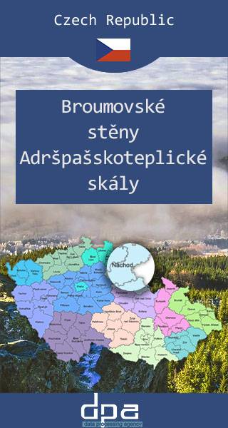
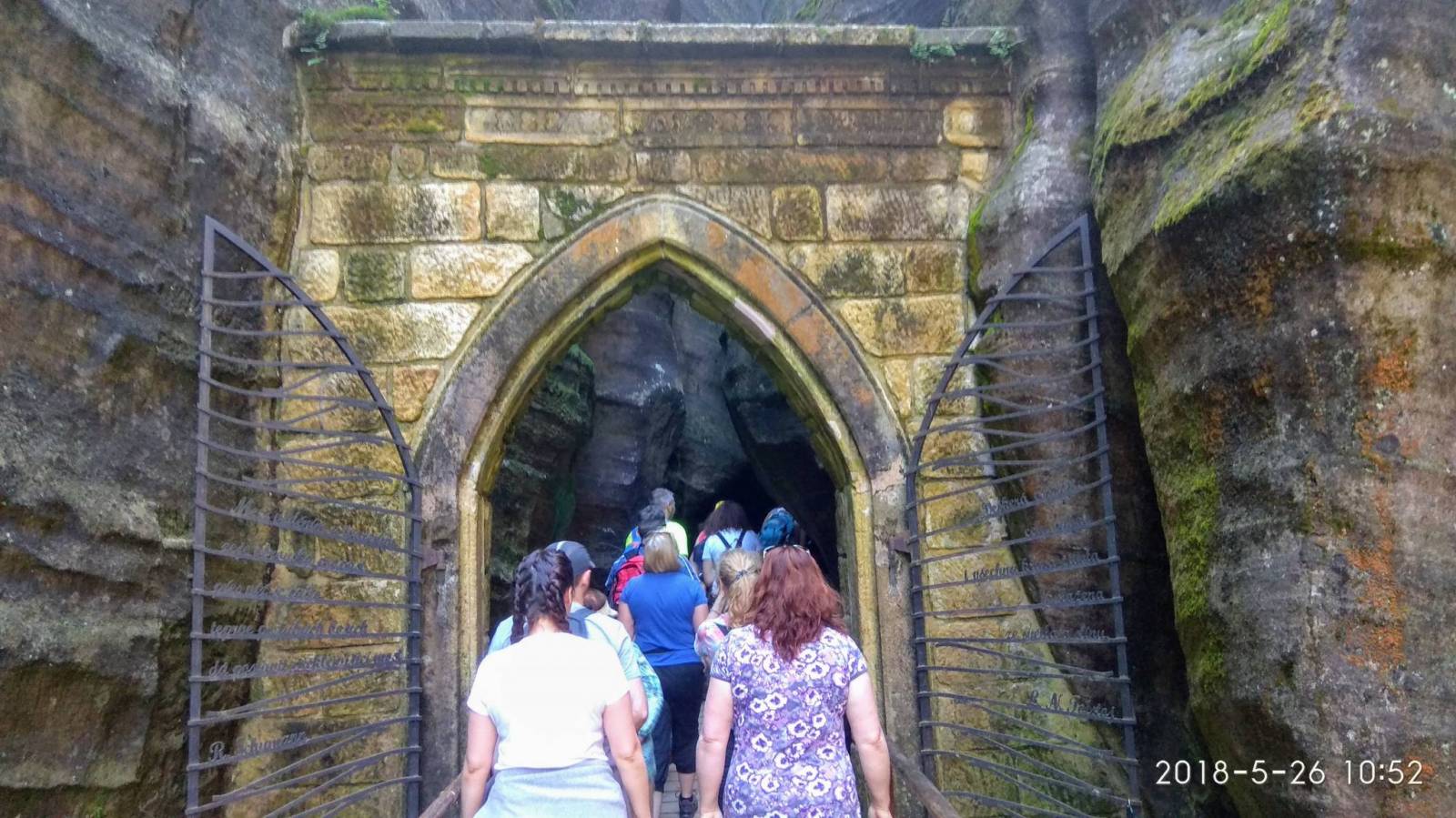
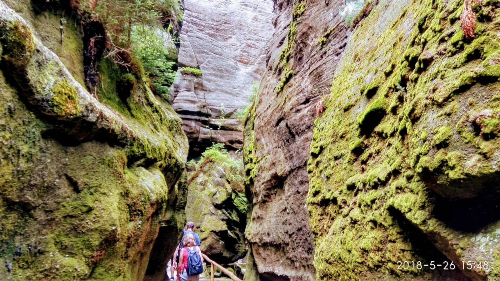
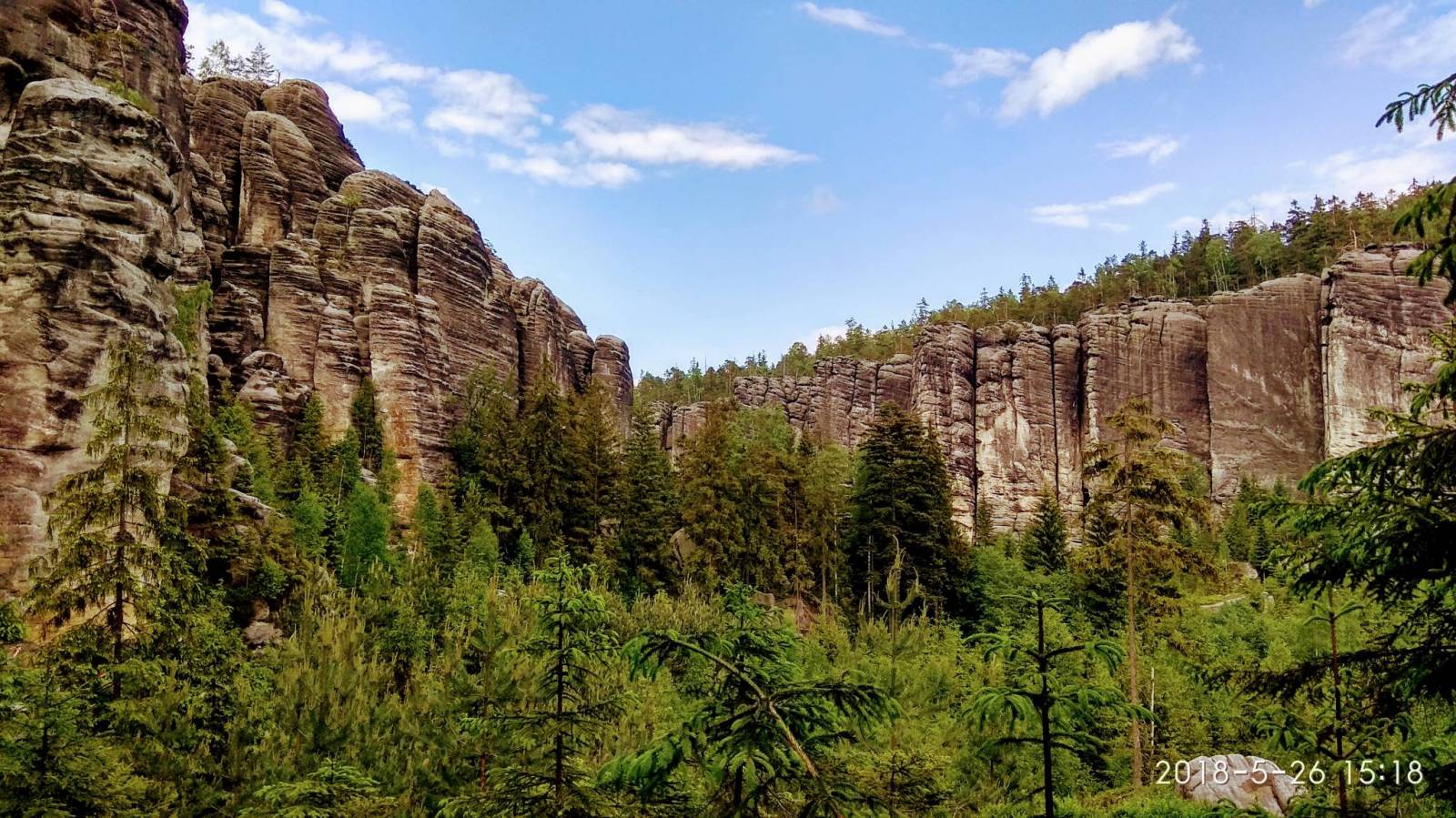
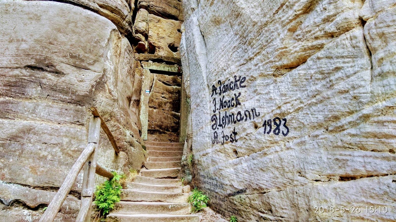
The Broumovsko Region and Adršpach-Teplice Rocks are an unusual set of sandstone formations in northeastern Bohemia, Czech Republic. The Adršpach-Teplice Rocks have been protected as a national nature reserve since 1933, and since 1991 the whole adjacent region of Broumovsko has enjoyed the status of protected landscape area. Tourists may visit the rocks via a number of marked trails. The area is a popular destination for rock climbers. In recent years, it has become a focus for the high-risk climbing-related sport of rock jumping. The area is also one of the largest permanent breeding sites of peregrine falcon in Europe, as they are protected here under federal law. Some areas have been designated off limits to climbers and hikers to make sure the birds aren't disturbed.

Update: 2016/2017


Miejscowości na trasie