

CHARAKTERYSTYKA TRASY

Komentarze
NA TEJ TRASIE PRZYDA CI SIĘ MAPA Z NASZEJ APLIKACJI
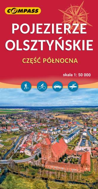
The map depicts northern part of the Olsztyńskie Lakeland in northern Poland, part of the Iławskie Lakeland, the Mrągowskie Lakeland, and the Garb Lubawski. The hilly region full of lakes and forests is perfect for sailors, cyclists and hikers. Medieval Teutonic castles - e.g. in w Olsztyn, Reszel, Dobre Miasto, Morąg - are also great attractions in the area. The map range: Lubomino and Dobre Miasto to the north, Reszel and Sorkwity to the east, Olsztyn to the south and Morąg to the west.
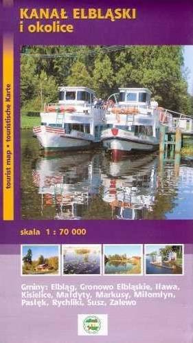
Elbląg Canal is a canal in Poland, in Warmian-Masurian Voivodeship, 80.5 km in length, which runs southward from Lake Drużno (connected by the river Elbląg to the Vistula Lagoon), to the river Drwęca and lake Jeziorak. Today it is used mainly for recreational purposes. It is considered one of the most significant monuments related to the history of technology and was listed by Unesco as a world heritage site. In Poland it has recently been named one of the Seven Wonders of Poland. The canal was also named one of Poland's official national Historic Monuments (Pomnik historii), as designated January 28, 2011. Its listing is maintained by the National Heritage Board of Poland.
Update: 2012
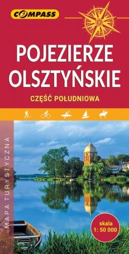
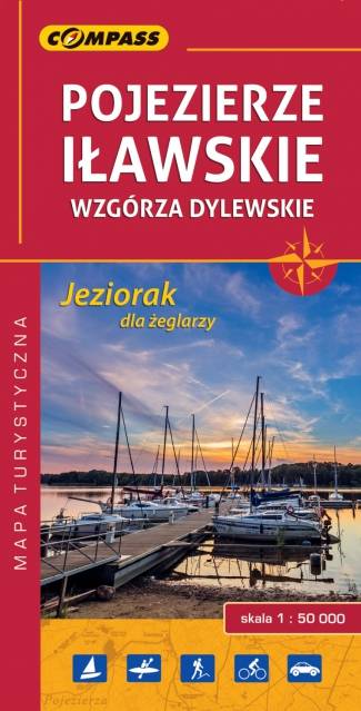
The map depicts southern part of the Olsztyńskie Lakeland in northern Poland, the part of the Iławskie Lakeland, the Mrągowskie Lakeland, and the Garb Lubawski. The hilly region full of lakes and forests is perfect for sailors, cyclists and hikers. Medieval Teutonic castles, Museum of Folk Architecture in Olsztynek, Shrine of Virgin Mary in Gietrzwałd and the Elbląg Canal are also great tourist attractions here.
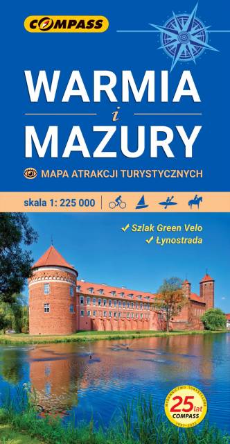
Mapa samochodowo-krajoznawcza, przedstawia obszar województwa warmińsko-mazurskiego. Zasięg mapy wyznaczają: granica polsko-rosyjska na północy, Elbląg na zachodzie, Ostrołęka na południu i Grajewo na wschodzie. Warmia i Mazury to region o niezwykłej różnorodności przyrodniczej, unikalnym ukształtowaniu terenu i dużym nagromadzeniem zabytków historycznych. Niniejsze wydawnictwo to ogólna mapa poglądowa rozległego obszaru, jakim są Warmia i Mazury. Dedykowana jest zwłaszcza turystom zmotoryzowanym. Przedstawiono na niej aktualną sieć dróg, wybraną bazę noclegową oraz propozycje najciekawszych atrakcji regionu. Wśród nich znajdują się: zamki, pałace, kościoły, muzea, zabytki techniki, obiekty militarne, cuda przyrody, wyróżniające się miejsca widokowe i panoramy. Mapę offline można zakupić w aplikacji Traseo na urządzenia mobilne. Rok wydania 2022
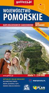
Mapa całego województwa pomorskiego z aktualnym przebiegiem dróg. Opisano ich numerację i kilometraż, zaznaczono również stacje paliw. Miejsca ciekawe, warte odwiedzenia podkreślono kolorem żółtym. Mapa posiada opisaną siatkę geograficzną WGS 84 przez co można ją zastosować do urządzeń z GPSem. Na rewersie umieszczono indeks miejscowości (miasta, wsie, przysiółki, duże dzielnice) oraz mapki tematyczne z podziałem administracyjnym, kodami pocztowymi, ochroną przyrody i krainami goegraficznymi.