

CHARAKTERYSTYKA TRASY

Komentarze
NA TEJ TRASIE PRZYDA CI SIĘ MAPA Z NASZEJ APLIKACJI
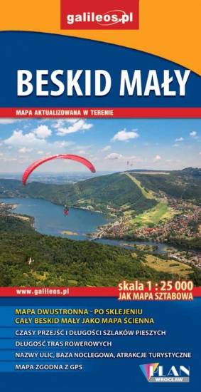
The map depicts part of the Polish Carpathian Mountains, near Wadowice, where John Paul II was born. The highest peak here is Czupel (930 m). The map range: Bielsko-Biała to the west, Sucha Beskidzka to the east, Wadowice to the north and Żywiec to the south.
Last update: 2017
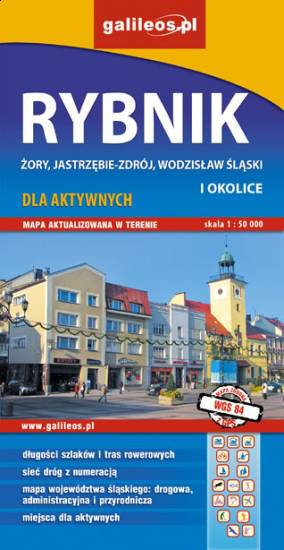
The map range: Oświęcim to the east, Żory to the west, Goczałkowickie Lake to the south. The map presents information useful for tourists, walking and cycling trails, tourist attractions. The most interesting places are highlighted with a yellow frame.
The map range: Żory in Poland to the east, Karviná in Czech Republic to the south, Wodzisław Śląski (Poland) and Ostrava suburbs (Czech Republic) to the west, and Gliwice suburbs (Poland) to the north. Tourist attractions, cycling and walking trails, boundaries of protected areas, as well as accomodation facilities are marked on the map.