

CHARAKTERYSTYKA TRASY

Komentarze
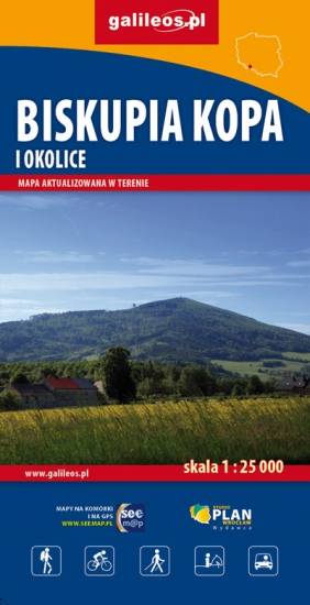
NA TEJ TRASIE PRZYDA CI SIĘ MAPA Z NASZEJ APLIKACJI
The map presents part of Baltic coast in Western Pomerania, in Poland, including Wolin Island, part of Uznam Island and Gryfice Plain. The map range: Świnoujście to the west, Wolin to the south, Kamień Pomorski to the east. Walking, cycling and canoeing trails are marked on the map, as well as tourist attractions.
Update: 2017
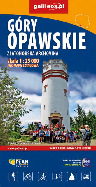
The Opawskie Mountains are a mountain range in the Eastern Sudetes. They stretch from northern Czech Silesia into Polish Upper Silesia, the eastern continuation of the Golden Mountains range.The Polish part of the range includes a protected area known as the Opawskie Mountains Landscape Park. It is named after the Opava River with its source in the neighbouring Hrubý Jeseník range. On the map in detailed scale tourist attractions, cycling and walkig trails, and educational trails are marked.
Update: 2017
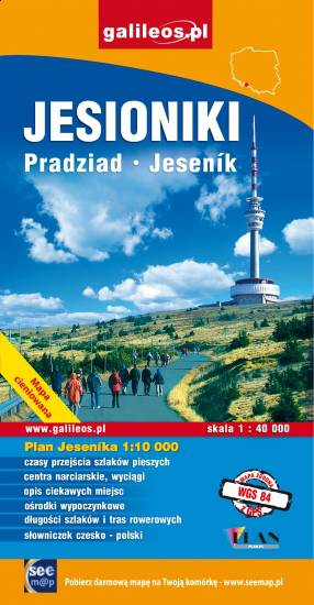
The map covers Hrubý Jeseník, a mountain range of the Eastern Sudetes in Czech and Polish Silesia. It is the second highest mountain range in Czech Republic. Part of Golden Mountains (Rychlebské hory / Góry Złote) range is also presented. Information useful for tourists, hiking, cycling and ski trails are marked on the map.
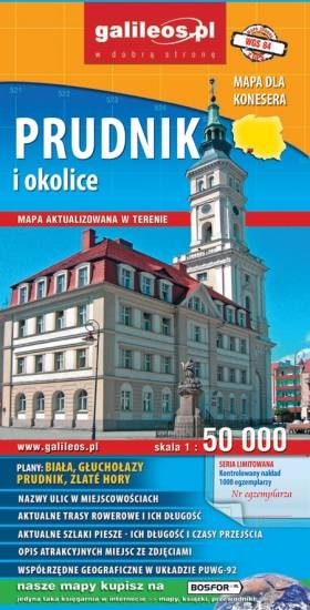
The map presents part of the Opole Voivodeship in southern Poland, from Nysa and Krapkowice to Głuchołazy and Město Albrechtickie in Czech Republic. Monuments, cycling and walking trails and other information useful for tourists are marked on the map. The map on paper was published in a limited edition of only 1000 copies.