

eleenaNa Traseo od lutego 2011
CHARAKTERYSTYKA TRASY
2012-05-02
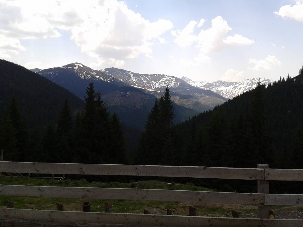
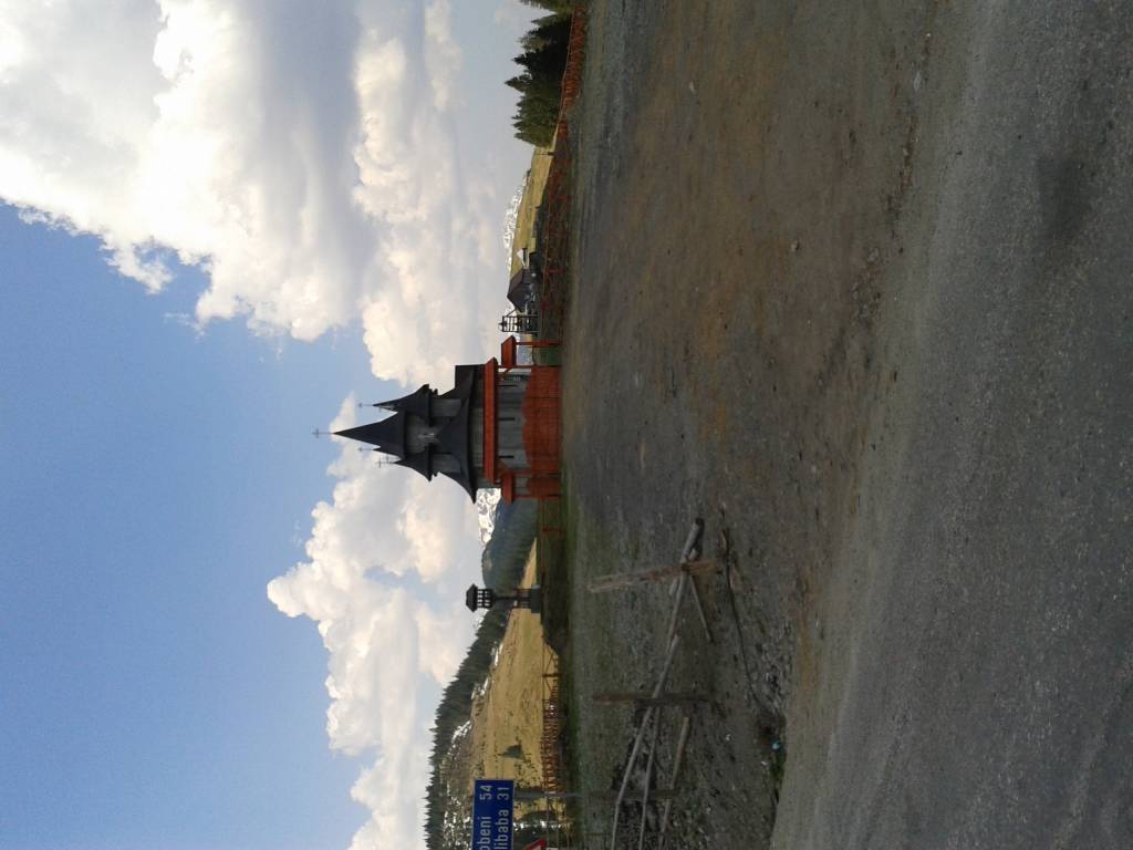
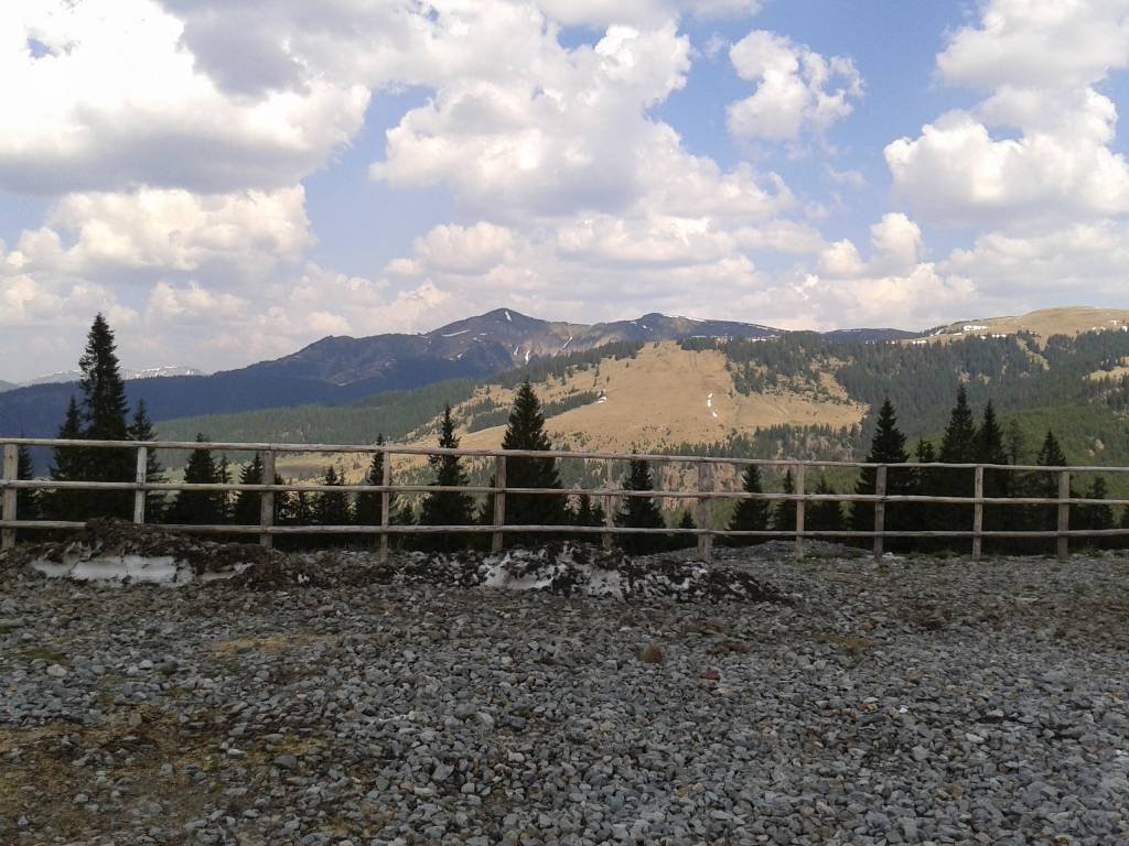
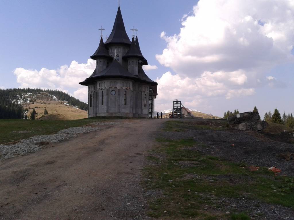
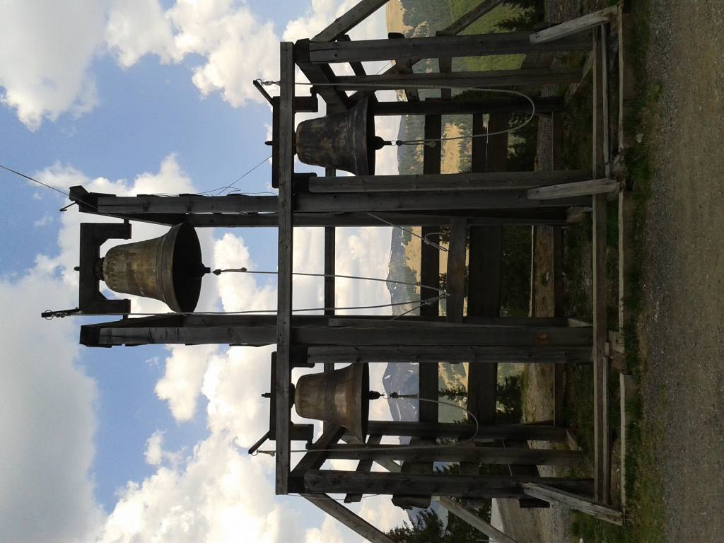
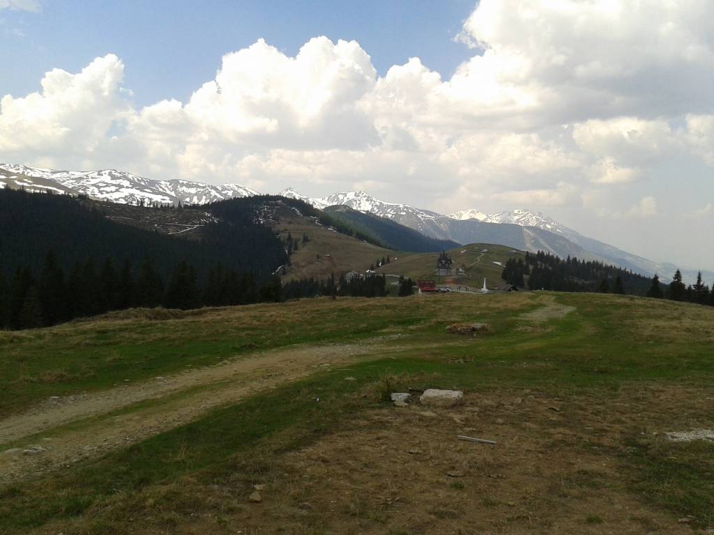
Rumunia, maramureş

171 km
657 m
1448 m
Średni
5 h 14 min
3/6
Komentarze
NA TEJ TRASIE PRZYDA CI SIĘ MAPA Z NASZEJ APLIKACJI
MAPA TURYSTYCZNA W APLIKACJI TRASEO
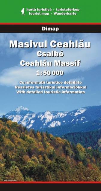
Ceahlău Massif
The Ceahlău Massif is one of the most famous mountains of Romania. It is part of the Bistriţa Mountains range of the Eastern Carpathians, in the Moldavia region. It is bounded to the east by the Bistriţa River and Lake Bicaz, to the south by the Bicaz River. From the south, the main access point is the village of Izvorul Muntelui, located 12 km north from the town of Bicaz. To the north, Mount Ceahlău is also accessible from Durău. Mount Ceahlău is a popular hiking destination in Romania, there are also ski slopes located at Durău.
Attention! There is a little calibration mistake on the map - e.g. 200 m relative to google maps.
Attention! There is a little calibration mistake on the map - e.g. 200 m relative to google maps.
MAPA TURYSTYCZNA W APLIKACJI TRASEO
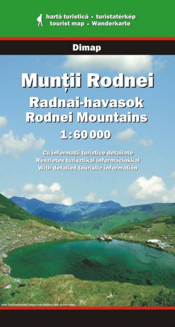
Rodnei Mountains
The Rodnei Mountains in Romania are the highest pass of the Eastern Carpathians. The hiking map covers the region between Viseu and Somesul Mare rivers.
Attention! There is a little calibration mistake on the map - e.g. 200 m relative to google maps.
Attention! There is a little calibration mistake on the map - e.g. 200 m relative to google maps.

MAPA TURYSTYCZNA W APLIKACJI TRASEO
Bistrița Mountains
The Bistrița Mountains are mountain ranges in northern central Romania. Geologically these ranges are considered part of the Inner Eastern Carpathians group of the Eastern Carpathians. The highest peak is Varful Budacului (1859 m).
Attention! There is a calibration mistake on the map - several hundred metres relative to google maps.
Attention! There is a calibration mistake on the map - several hundred metres relative to google maps.
MAPA TURYSTYCZNA W APLIKACJI TRASEO
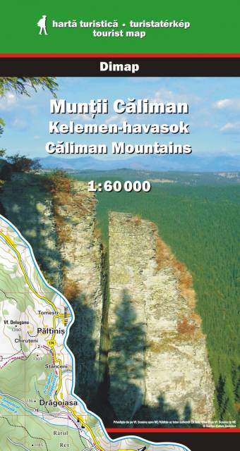
Căliman Mountains
The Căliman Mountains are a volcanic pass of the Carpathian Mountains in Transylvania, in Romania. The hiking map covers the region between the Mures, Bargau and Bistrita rivers.
Attention! There is a little calibration mistake on the map - e.g. 200 m relative to google maps.
Attention! There is a little calibration mistake on the map - e.g. 200 m relative to google maps.