


Andrzej | アンドレイNa Traseo od lutego 2012
CHARAKTERYSTYKA TRASY
2015-01-06
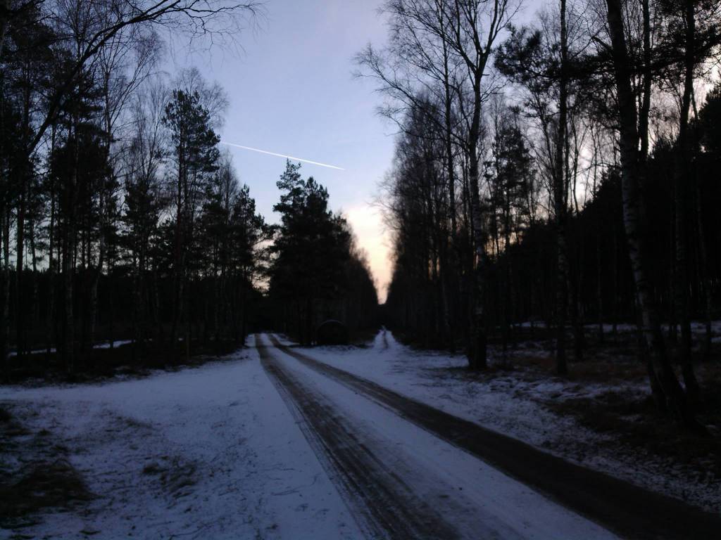
Miały

107 km
189 m
236 m
Trudny
5 h 51 min
3.8/6
Komentarze
NA TEJ TRASIE PRZYDA CI SIĘ MAPA Z NASZEJ APLIKACJI

MAPA TURYSTYCZNA W APLIKACJI TRASEO
Poznań Region. Northern Part
The map presents part of the Greater Poland Voivodeship in west-central Poland, south from Poznań. It covers such areas as the Puszcza Zielonka Landscape Park and the Promno Landscape Park. Tourist attractions, cycling and walking trails are marked on the map, as well as other information useful for tourists.
MAPA TURYSTYCZNA W APLIKACJI TRASEO
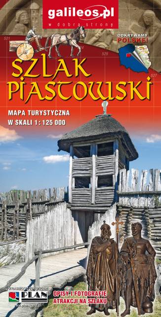
Szlak Piastowski
Mapa turystyczna Szlaku Piastowskiego, który przebiega przez województwa: wielkopolskie i kujawsko-pomorskie. Mapa została zaktualizowana w terenie, zostały na niej uwzględnione wszelkie niezbędne informacje turystyczno-krajoznawcze oraz informacje praktyczne. Rok Wydania 2017
