


CHARAKTERYSTYKA TRASY

Komentarze
NA TEJ TRASIE PRZYDA CI SIĘ MAPA Z NASZEJ APLIKACJI
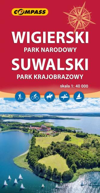
Wigry National Park is a National Park in Podlaskie Voivodeship in north-eastern Poland. It covers parts of the Masurian Lake District and Augustów Primeval Forest (Puszcza Augustowska). It is named after lake Wigry, the largest of the Park's many lakes. The Park’s landscape was to a large extent shaped by a glacier which covered this region around 12,000 years ago. Southern part is flat and is mainly covered with a forest, which is part of the broader Puszcza Augustowska.
The Park is famous for its numerous lakes.
Suwałki Landscape Park is a protected area in north-eastern Poland in Suwałki County (Gmina Jeleniewo, Gmina Przerośl, Gmina Rutka-Tartak, Gmina Wiżajny). Within the Landscape Park are three nature reserves.
(wikipedia.org)
The map range: Wiżajny to the north, Skajzgiry to the west, Blizno lake to the south and Pogorzelec to the east.
Update: 2017