

ArkosławNa Traseo od stycznia 2012
CHARAKTERYSTYKA TRASY
2020-04-19
Polska, śląskie, Bielsko-Biała

17 km
1454 m
1125 m
Średni
1 h 55 min
2.7/6
Komentarze
NA TEJ TRASIE PRZYDA CI SIĘ MAPA Z NASZEJ APLIKACJI
MAPA TURYSTYCZNA W APLIKACJI TRASEO
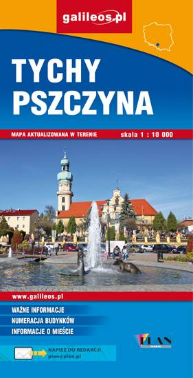
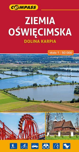
Area of Tychy and Pszczyna
The map range: Oświęcim to the east, Żory to the west, Goczałkowickie Lake to the south. The map presents information useful for tourists, walking and cycling trails, tourist attractions. The most interesting places are highlighted with a yellow frame.
MAPA TURYSTYCZNA W APLIKACJI TRASEO
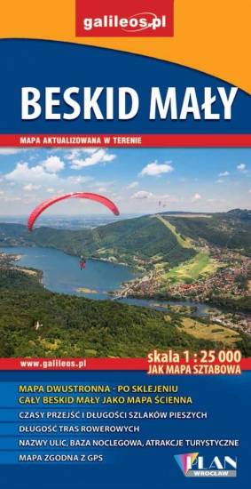
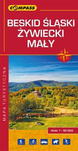
Silesian Beskids, Żywiec Beskids, Small Beskids
The map depicts part of the Polish Carpathian Mountains in Silesia region: Beskid Śląski (Silesian Beskids), Beskid Żywiecki (Żywiec Beskids) and Beskid Mały (Small Beskids). The Polish part of the range includes protected areas, such as Silesian Beskids Landscape Park. Hiking tracks and tourist attractions are marked on the map.
Update: 2014