


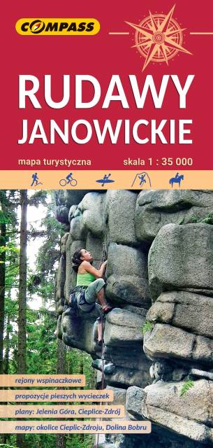
CHARAKTERYSTYKA TRASY

Komentarze
NA TEJ TRASIE PRZYDA CI SIĘ MAPA Z NASZEJ APLIKACJI
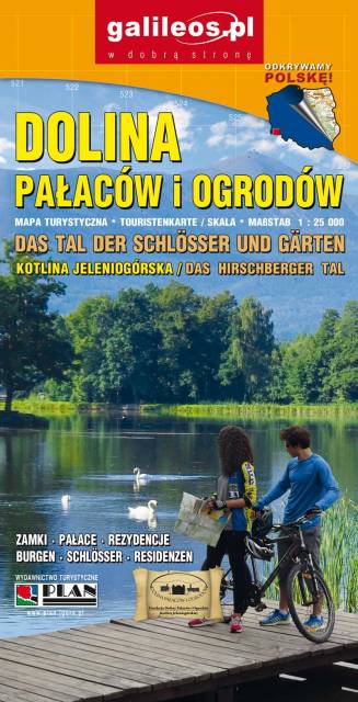
The Valley of Palaces and Gardens is a very detailed tourist map covering the area of Jeleniogórska Valley and a part of Rudawy Janowickie and Kaczawskie Mountains. The map indicates the walking time on individual tourist trails. Year of publication 2019
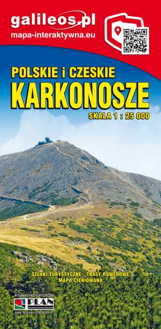
The Giant Mountains (Karkonosze Mountains) are the highest mountain range of the Sudetes mountain system. The highest peak, Sněžka (1 603 m; Polish: Śnieżka), is the Czech Republic's highest point. The range is located in the northern Czech Republic and the south-western Poland. Map range: Rokytnice nad Jizerou to the west, Velka Upa to the south (Czech Republic), Kowary to the east and Jelenia Góra to the north (Poland).
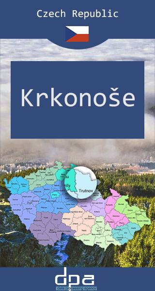
The Krkonoše Mountains (the Giant Mountains) are the highest mountain range of the Sudetes mountain system. The highest peak, Sněžka (1 603 m; Polish: Śnieżka), is the Czech Republic's highest point. The range is located in the northern Czech Republic and the south-western Poland.
Published: 2016/2017
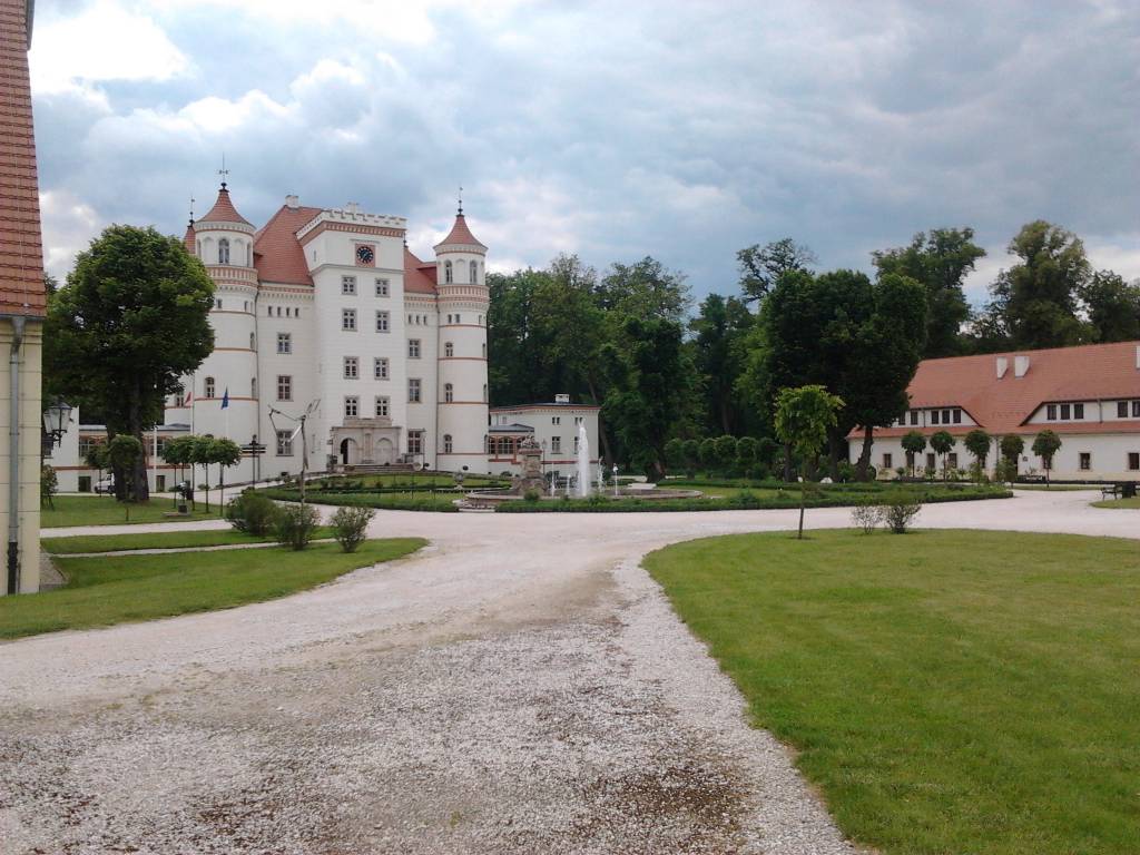
Wybrać około 100 atrakcji z tego regionu to niezwykle trudne zadanie. Miejsc szczególnych, wartych odwiedzenia jest tutaj znacznie więcej. Subiektywnego wyboru dokonał – opierając się na doświadczeniu jako pilota wycieczek, przewodnika turystycznego i górskiego – Waldemar Brygier (naszesudety.pl). Wśród polecanych atrakcji: zamki, pałace, muzea, skanseny, kopalnie, twierdze, osobliwości przyrody, uzdrowiska i wiele innych. Zapraszamy do lektury! Mapę offline można zakupić w aplikacji Traseo na urządzenia mobilne. Rok wydania 2019