

CHARAKTERYSTYKA TRASY

Komentarze
NA TEJ TRASIE PRZYDA CI SIĘ MAPA Z NASZEJ APLIKACJI

The Owl Mountains (Polish: Góy Sowie, Czech: Soví hory) are a mountain range in the Central Sudetes in south-western Poland. They run between the historic Lower Silesian region and Kłodzko Land. The highest peaks are Wielka Sowa (1,014 m) and Kalenica (964 m) with its viewing tower. The range includes a protected area called The Owl Mountains Landscape Park. The mountains are covered by a network of tourist trails, marked on the map.
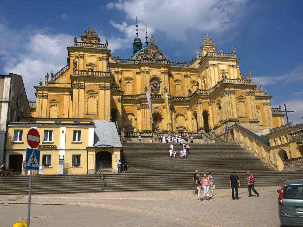
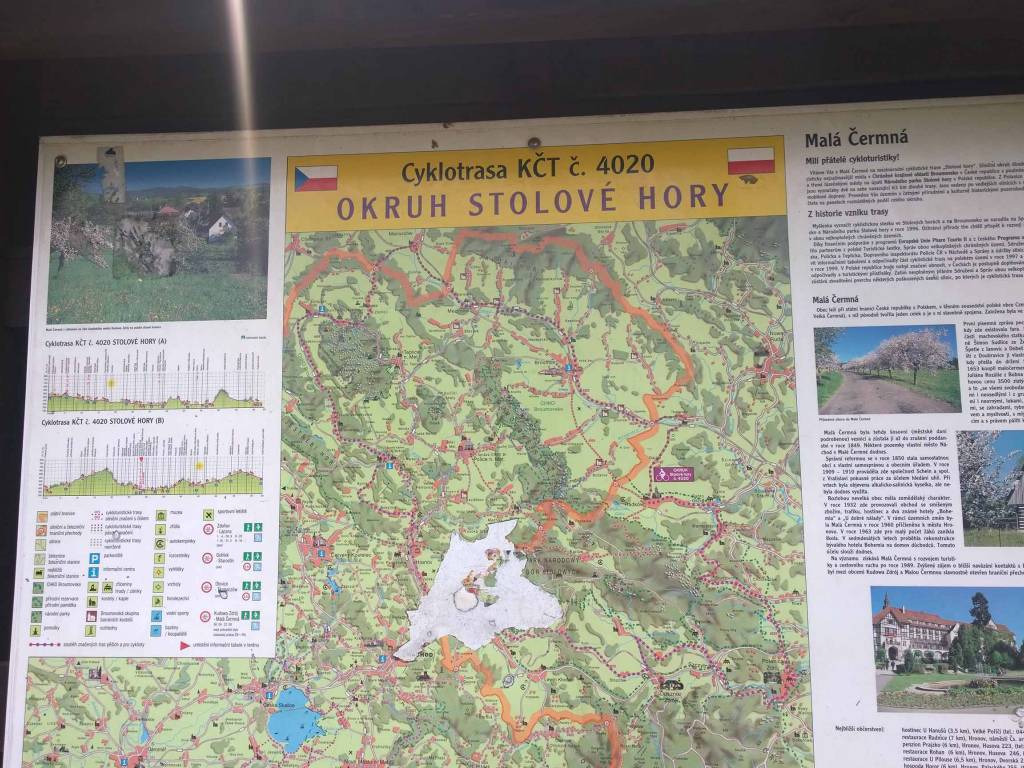
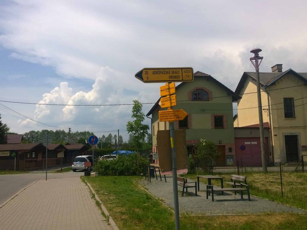
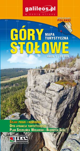
Stołowe Mountains are a mountain range situated south-east of the Krkonoše Mountains. The Polish part, with the highest peak Szczeliniec Wielki (919 m), is protected as the Stołowe Mountains National Park. Map range: Hronov to the west (Czech Republic) Duszniki-Zdrój to the south, Szalejów Górny to the east and Police to the north (Poland).
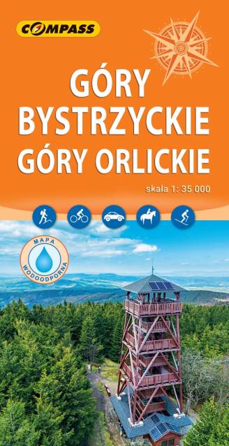
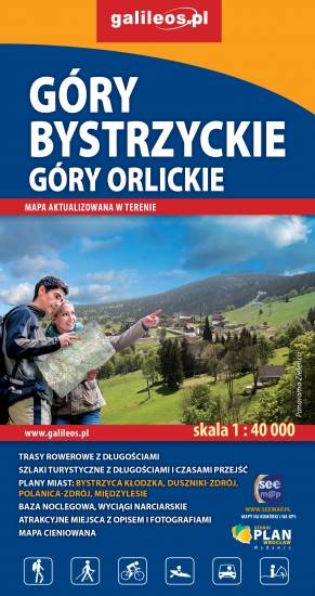
The map presents The Bystrzyckie Mountains and The Orlickie Mountains, with Polanica Zdrój and Duszniki health resorts, ski resorts in Zieleniec and Deštne. The mountain ranges are located in the Central Sudetes, spreading over Polish-Czech border. Tourist attractions, cycling and walking trails, protected areas borders, as well as other information useful for tourists (e.g. accomodation, restaurants, ski lifts) are marked on the map. The most interesting places are highlighted with a yellow frame.
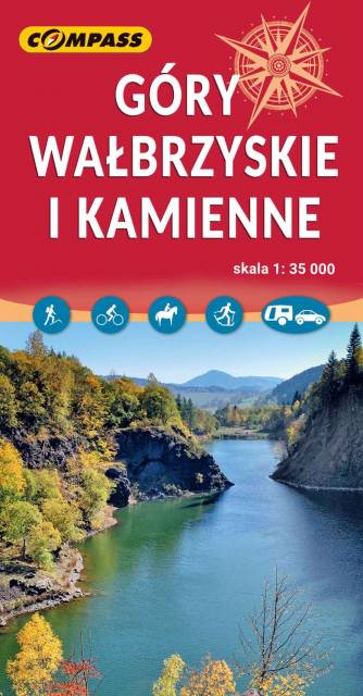
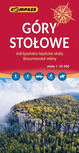
The Wałbrzyskie Mountains and The Stone Mountains are mountain ranges in the Central Sudetes on the border of the Czech Republic and Poland. The map also presents Adršpašskoteplické skály in Czech Republic, which is famous tourist destination.