

CHARAKTERYSTYKA TRASY

Komentarze
NA TEJ TRASIE PRZYDA CI SIĘ MAPA Z NASZEJ APLIKACJI
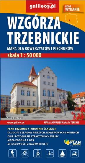
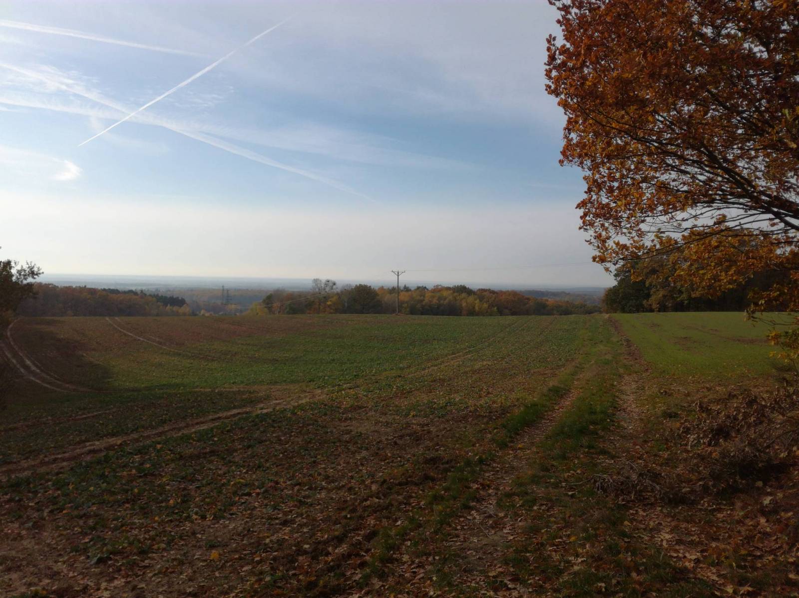
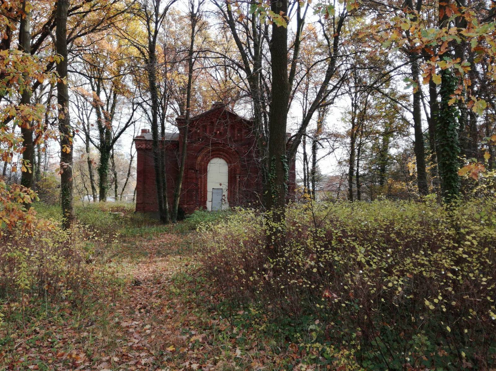
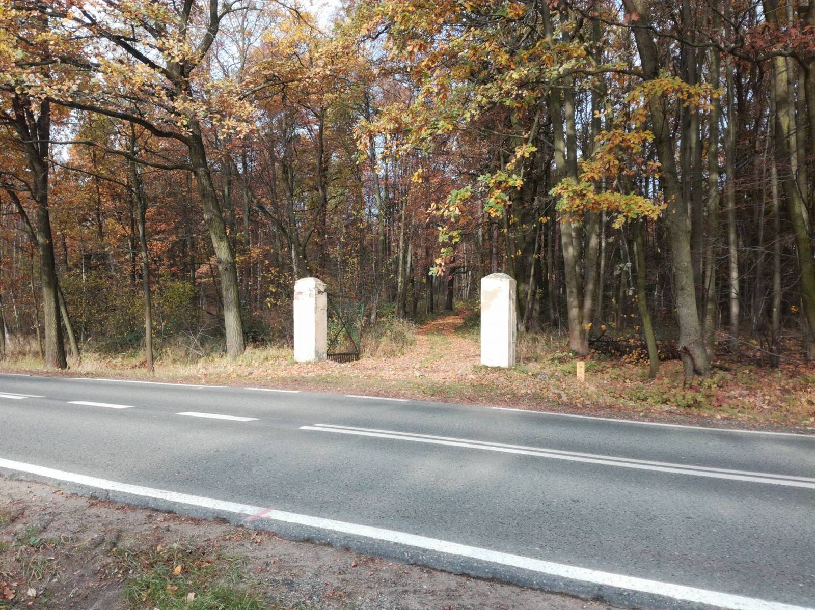
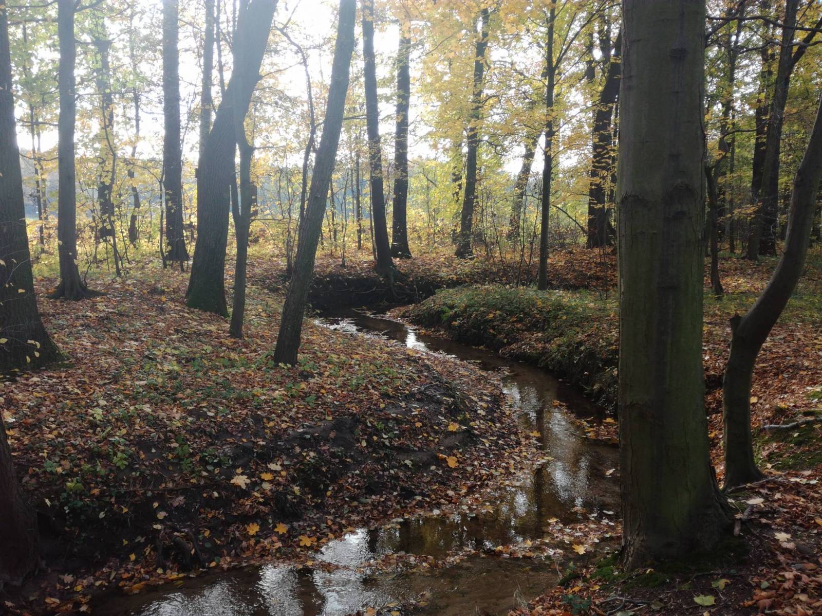
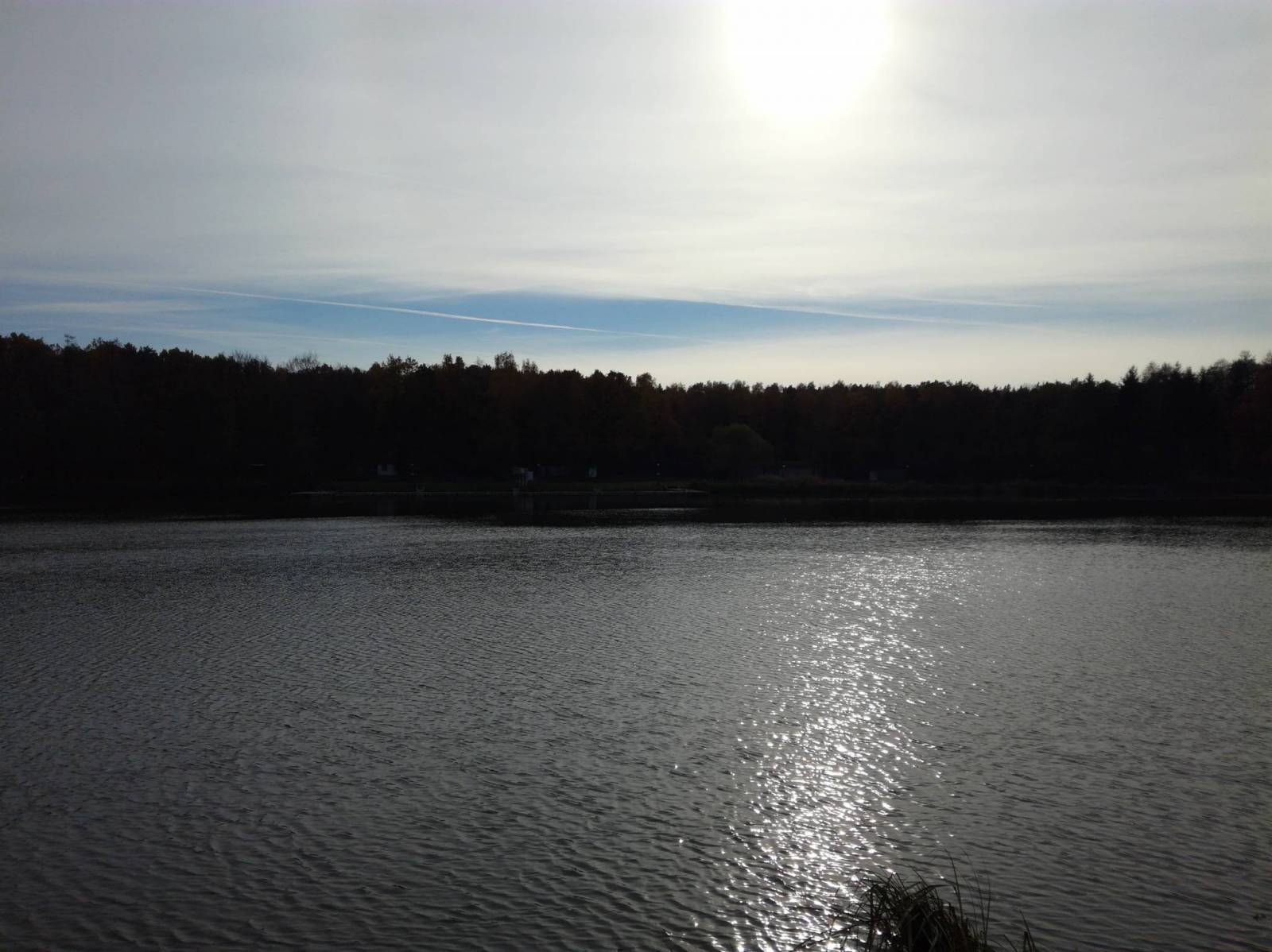
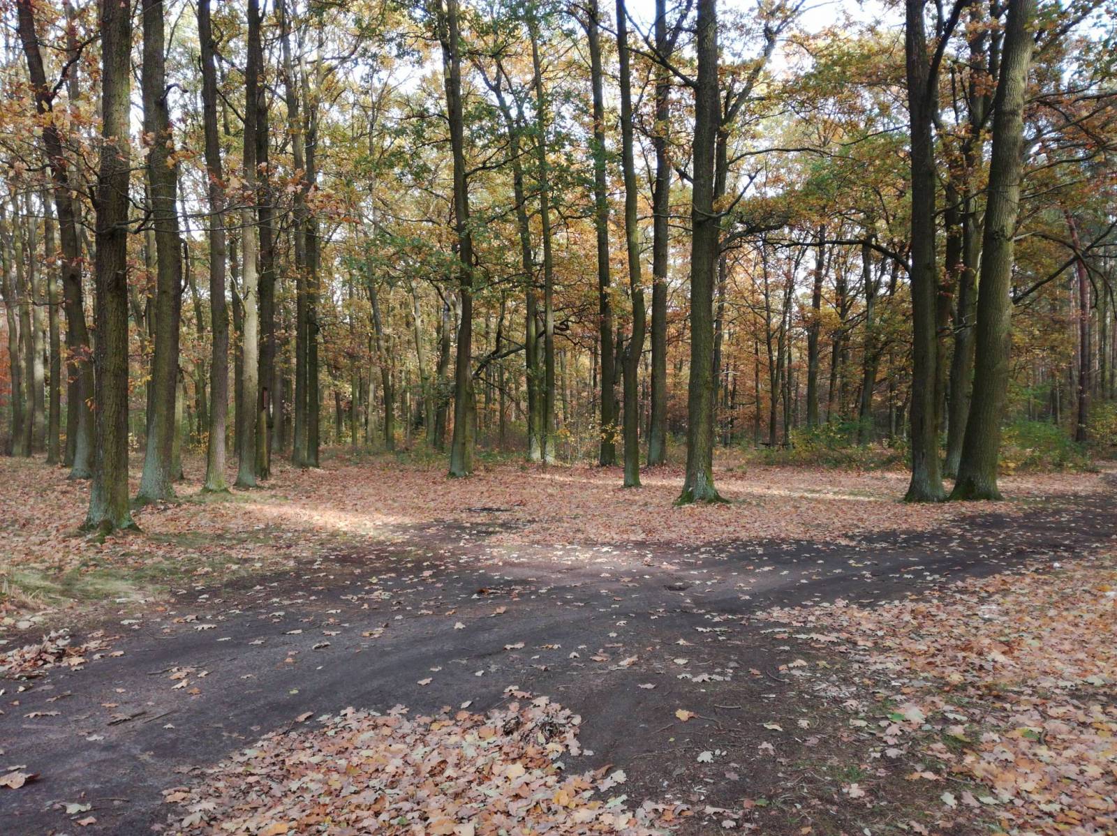
The Trzebnickie Hills is a mountain range in southwestern Poland. It is named after the town of Trzebnica on the northern slope. The range is located in the Lower Silesian Voivodeship. It lies north of the regional capital Wrocław, between the Oder and Widawa Rivers to the southwest and the Barycz River to the north. The landscape is made up of fields, woods and orchards. Tourist attractions, cycling and walking trails, protected areas borders, as well as other information useful for tourists (e.g. accomodation, restaurants, ski lifts) are marked on the map. The most interesting places are highlighted with a yellow frame.
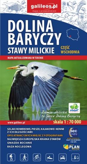
The Barycz Valley is situated in south-western Poland, in two voivodeships: the Lower Silesian Voivodeship and the Greater Poland Voivodeship. The map covers the area from Ruda Sułowska to Barycz's mouth. A lot of information useful for tourists is marked on the map: monuments, accommodation facilities, protected areas, cycling, walking, canoeing and horse trails, as well as nature and educational routes. Stork nests are also depicted, as a peculiarity.
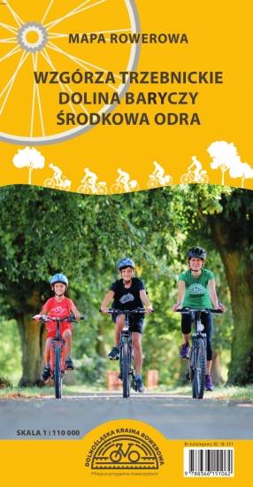
The map covers the Lower Silesian Cycling Region, i.e. the territory of the Górowski, Třebnik and Milicki districts, as well as the communes of Wołów, Twardogóra and Dobroszyce. All walking, cycling, horse riding and canoeing trails as well as nature and educational paths have been marked here. Particularly highlighted are the existing cycle tracks, those under construction and those planned for the future. The map includes tourist and nature attractions and accommodation facilities. Additionally, cycling-friendly places have been marked. The descriptive part illustrated with photographs covers the map's area by region, selected cycling routes and a brief description of cyclist-friendly places.

Wybrać około 100 atrakcji z tego regionu to niezwykle trudne zadanie. Miejsc szczególnych, wartych odwiedzenia jest tutaj znacznie więcej. Subiektywnego wyboru dokonał – opierając się na doświadczeniu jako pilota wycieczek, przewodnika turystycznego i górskiego – Waldemar Brygier (naszesudety.pl). Wśród polecanych atrakcji: zamki, pałace, muzea, skanseny, kopalnie, twierdze, osobliwości przyrody, uzdrowiska i wiele innych. Zapraszamy do lektury! Mapę offline można zakupić w aplikacji Traseo na urządzenia mobilne. Rok wydania 2019