


CHARAKTERYSTYKA TRASY

Komentarze
NA TEJ TRASIE PRZYDA CI SIĘ MAPA Z NASZEJ APLIKACJI
Szczegółowa mapa turystyczna z uwzględnieniem atrakcji, zabytków, noclegów, gastronomii oraz innych miejsc przydatnych turyście. Zawiera nazwy ulic w miejscowościach oraz szlaki turystyczne wraz z kilometrażem. Idealna gdy urlop spędzasz w Zawoni bądź wybierasz się zdobyć najwyższy szczyt Beskidów – Babią Górę zaliczaną do Korony Gór Polskich.
Rok wydania: 2018
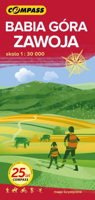
The map shows the eastern part of the Beskid Żywiecki with the Babia Góra National Park. The range of the map is marked by: Stryszawa in the north, Magurka (1'114 m asl) in the west, Kiczory in the south and Zubrzyca Górna in the east.
Babia Góra (1'725 m asl) has attracted the attention of travellers and researchers alike, and fascinated writers and poets for centuries. Not without a reason the mountain top was called Diablak, it was said that evil powers had its headquarters there. Among all Polish mountains, Babia Góra is second only to the peaks of the Tatra Mountains in terms of height. Its characteristic feature is the asymmetry of its slopes: the southern slopes descending towards Orava are relatively gentle in relation to the steep and precipitous northern slopes, clearly visible from Zawoja, which are referred to as the 'great break of Babia Góra'. At the northern foot of Babia Góra there is Zawoja, the largest village in Poland in terms of area. It is an attractive holiday resort and an ideal base for exploring the Babia Góra Range. On the map, shading was applied in order to obtain a more impressive image of the terrain. The offline map can be purchased in the Traseo application for mobile devices. Year of publication 2021
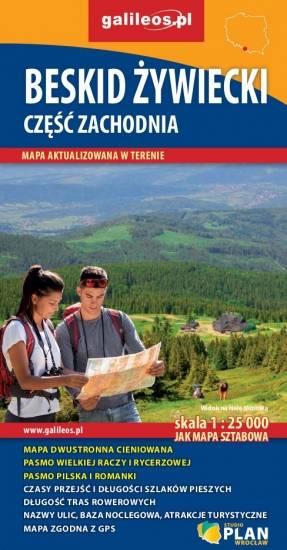
Szczegółowa mapa turystyczna z uwzględnieniem atrakcji, zabytków, ciekawych miejsc oraz infrastruktury turystycznej i sportowej. Zawiera aktualny przebieg szlaków pieszych i rowerowych wraz z kilometrażem i orientacyjnymi czasami przejścia. Mapa obejmuje zachodnią część pasma Beskidu Żywieckiego z miejscowościami: Węgierska Górka; Milówka, Korbielów, Rajcza, Zwardoń oraz pograniczem polsko-słowackim.
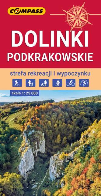
The map presents the most interesting area of the north part of Kraków neighborhood. It depicts, among others, Kraków Valleys Landscape Park, Tenczynek Landscape Park and south part of Ojców National Park. The region is very popular among cyclists, hikers, and rocky climbers. The map range: Sułoszowa to the north, Rudno to the west, Mników to the south and Kraków to the east.
Update: 2017