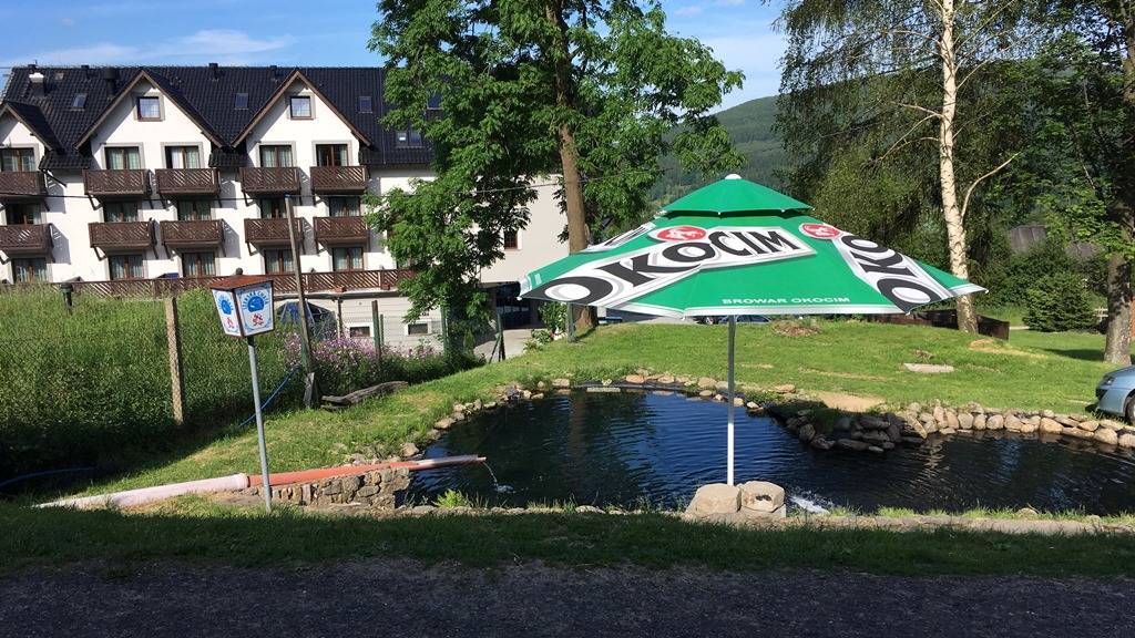
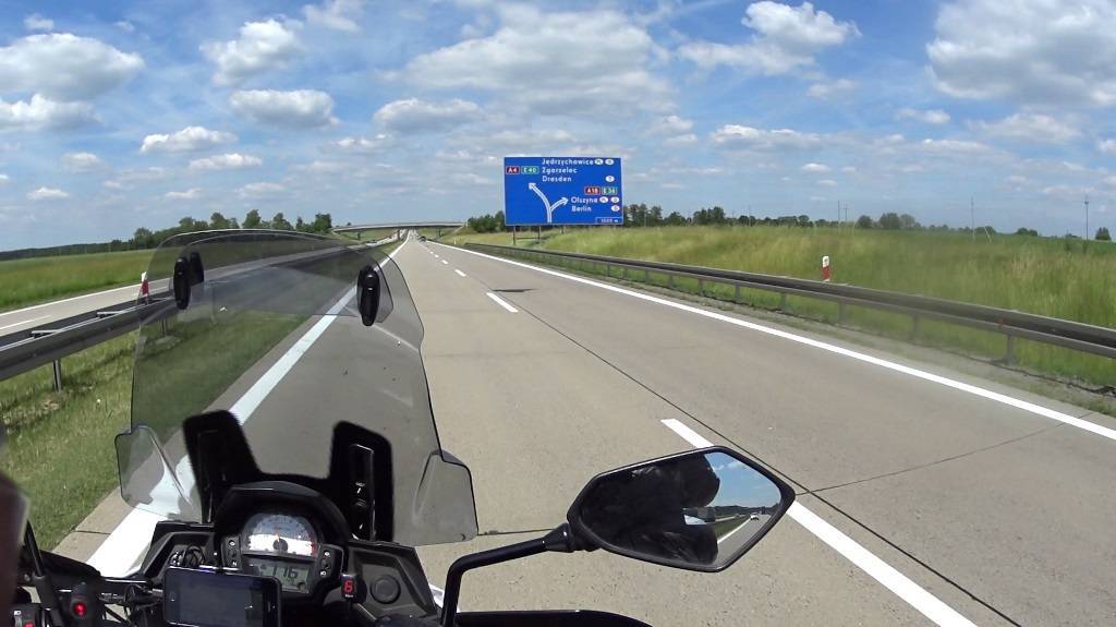
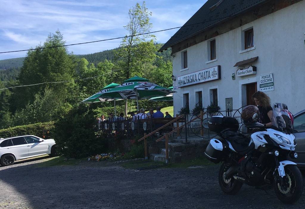

CHARAKTERYSTYKA TRASY

Komentarze
NA TEJ TRASIE PRZYDA CI SIĘ MAPA Z NASZEJ APLIKACJI
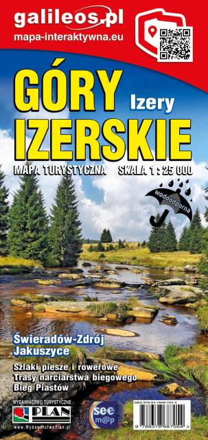
Jedna z najdokładniejszych na rynku map Gór Izerskich. Zawiera najważniejsze grzbiety zarówno po polskiej, jak i czeskiej stronie Gór Izerskich i Jizerskych hor. Mapa została zaktualizowana w terenie i zawiea najważniejsze atrakcje turystyczne i krajoznawcze. Oznaczono na niej szlaki turystyczen: piesze i rowerowe wraz z czasami przejść. Rok wydania 2022
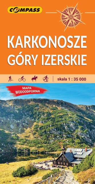
A map in a scale of 1:35'000. The map includes Gian Mountains, Jizera Mountains, plans of Świeradów-Zdrój, Karpacz, Szklarska Poręba and Czech towns: Harrachov and Szpindlerowy Młyn.
The Giant Mountains are the highest mountain range in the Sudety Mountains stretching some 40 km in length. The main ridge runs along the Polish-Czech border. The highest peak is Śnieżka (1603 m). Distinguishing features of the Giant Mountains landscape are glacial cirques with picturesque lakes and unique rock formations. The largest Czech river, the Elbe, has its source here. A symbolic well can be found below the Łabski Peak at an altitude of 1386 metres above sea level. Numerous waterfalls and cascades on the streams add variety to the Giant Mountains landscape. The thermal and mineral waters here have contributed to the development of the well-known spas of Cieplice and Świeradów-Zdrój and, in the Czech Republic, Janské Lázně.
The Jizera Mountains are the westernmost range of the Sudety Mountains located in the territory of the Czech Republic and Poland. It consists of not very high mountain ridges. The highest elevation is Wysoka Kopa (1126 m). the attractiveness of the land contributed to the development of tourism. The network of paved roads is like a magnet for mountain bikers who come here in large numbers. In winter, the popular Jizera Mountains offer well-prepared cross-country skiing trails. The most popular place for cross-country skiing is Jakuszyce.
Year of publication: 2020
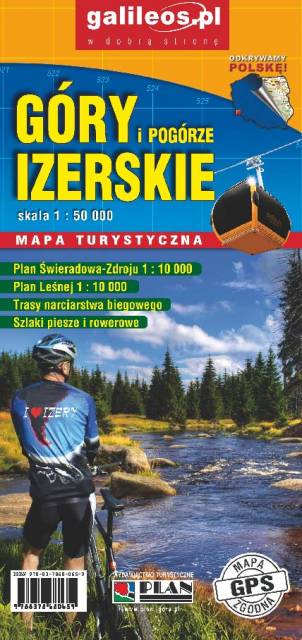
Jizera Mountains are part of the Western Sudetes on the border between the Czech Republic and Poland. The map range: Liberec to the west (Czech Republic), Gryfów Śląski to the north, Dolina Bobru Landscape Park to the east. Szklarska Poręba, Jakuszyce and Harrachov resorts are also on the map.